print, etching, engraving
#
dutch-golden-age
# print
#
etching
#
landscape
#
etching
#
geometric
#
engraving
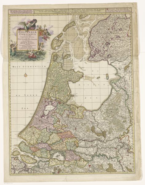
Dimensions: height 453 mm, width 541 mm
Copyright: Rijks Museum: Open Domain
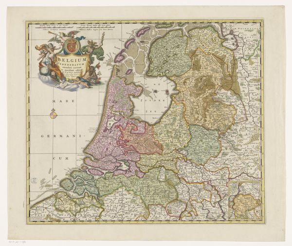
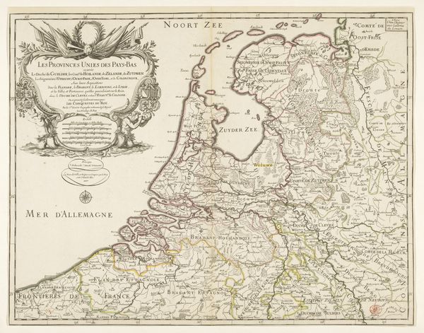
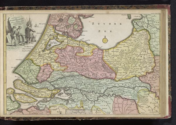
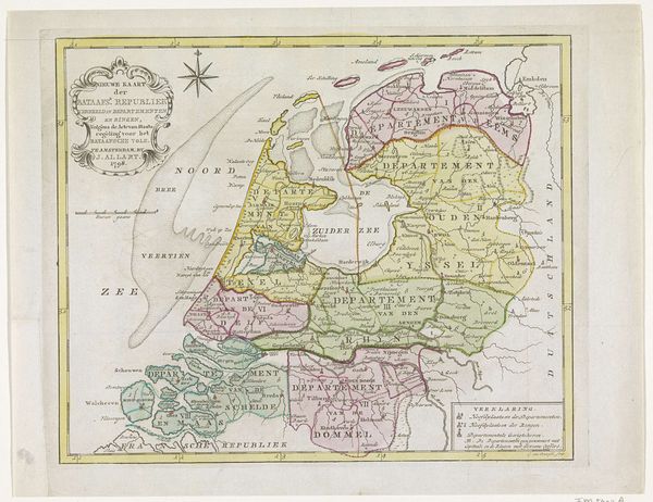
This map of the Republic of the Seven United Netherlands was made around 1780 by John Lodge. It’s a political document as much as a geographical one, reflecting the complex social and institutional landscape of the late 18th century. Look closely at the way the map delineates the different provinces, each with its own distinct color. This division reflects a society structured around regional identities and local governance. The United Provinces was a confederation, where power was decentralized among the provinces. Mapping was crucial to creating a sense of collective identity, but it also highlighted existing divisions. The map uses a combination of visual codes, cultural references, and historical associations to create meaning. The decorative cartouche adds an element of classical authority. To understand this map, we need to delve into the archives, consult historical documents, and examine the social and institutional contexts in which it was produced. The meaning of this map is contingent on the cultural and political forces that shaped its creation.
Comments
No comments
Be the first to comment and join the conversation on the ultimate creative platform.
More like this