print, engraving
#
dutch-golden-age
# print
#
landscape
#
geometric
#
engraving
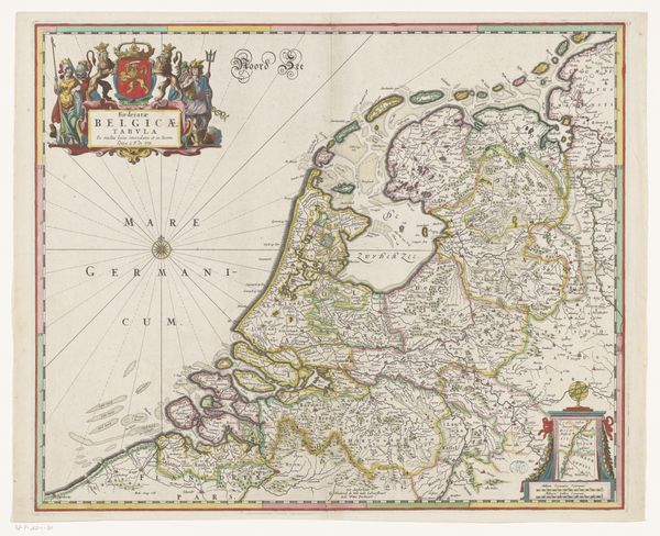
Dimensions: height 332 mm, width 427 mm
Copyright: Rijks Museum: Open Domain
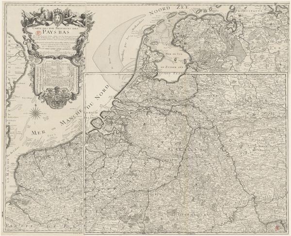
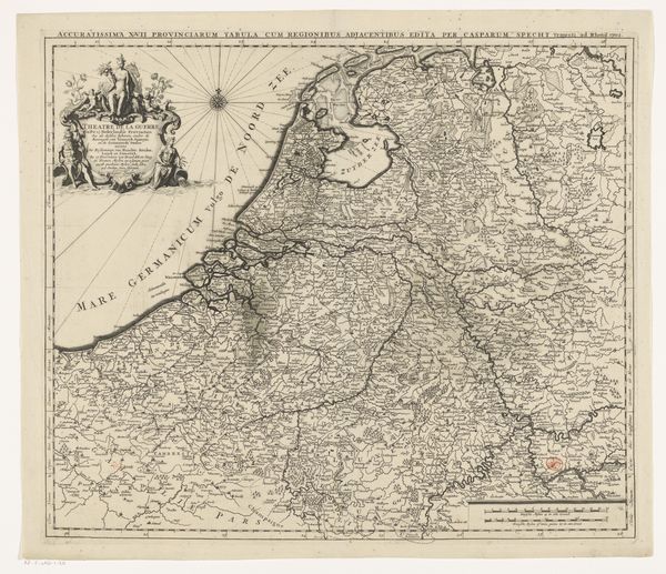
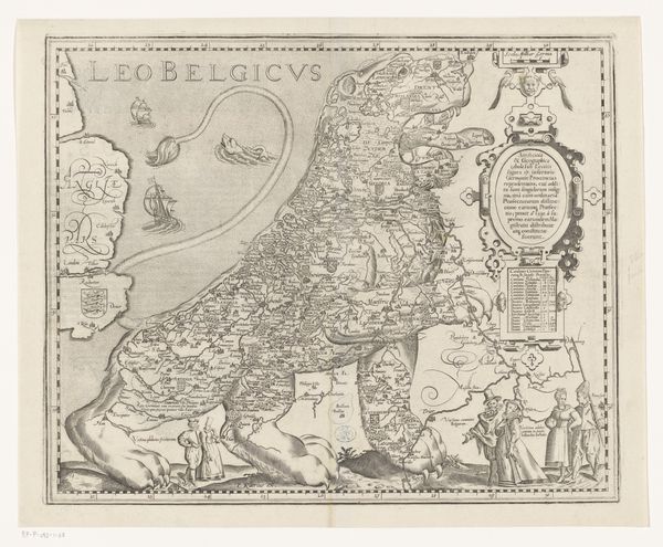
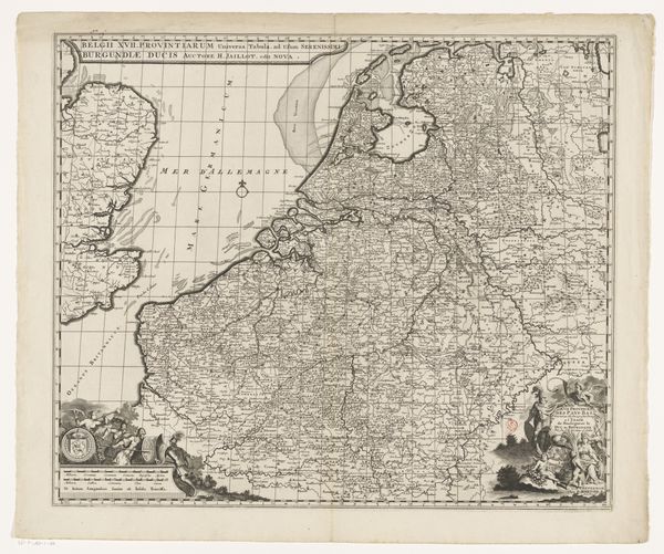
This map of the Dutch Republic is an engraving, made by an anonymous artist. It pictures the Republic, which was established during the Eighty Years' War in 1581, and existed until the Batavian Revolution in 1795. Maps like this played a role in the construction of national identity, particularly in a new republic asserting its independence. The inclusion of heraldic symbols, the coats of arms of noble families and important cities, connects political power to geographical space. The map doesn't just represent territory; it visualizes a new nation, its borders, and its claims to sovereignty. To understand this map more fully, one would need to examine the history of Dutch cartography and its relationship to both statecraft and commerce. Archival sources such as city records, trade statistics, and political pamphlets could reveal how this image functioned in its own time. The meaning of art is always contingent on social context.
Comments
No comments
Be the first to comment and join the conversation on the ultimate creative platform.
More like this