print, etching
#
aged paper
# print
#
etching
#
old engraving style
#
landscape
#
etching
#
pen work
#
history-painting
#
realism
Dimensions: height 498 mm, width 620 mm
Copyright: Rijks Museum: Open Domain
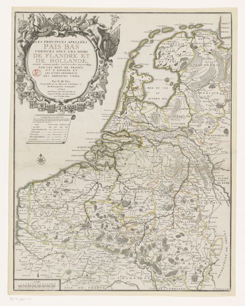
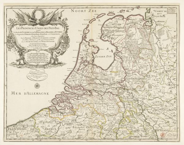
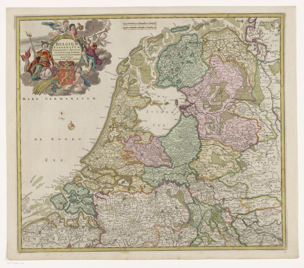
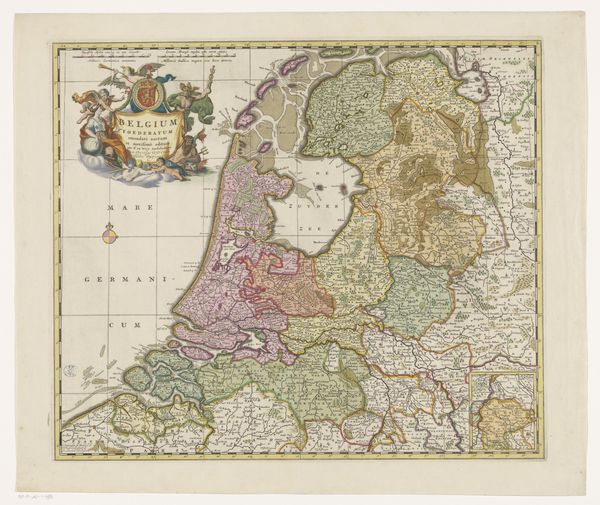
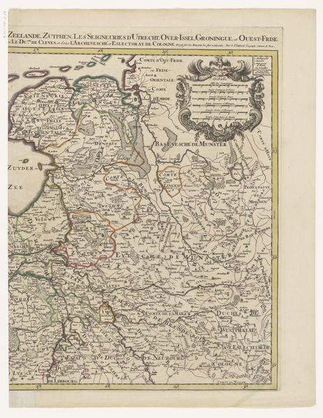
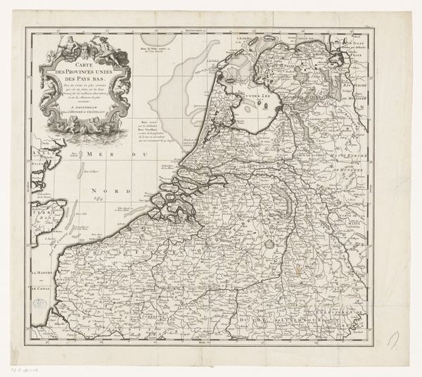
This map of the Republic of the Seven United Netherlands is a testament to a burgeoning national identity. Observe the coat of arms draped elegantly at the top left, symbols of sovereignty and unity in a land defined by its waterways. The image of the lion, a motif stretching back to ancient heraldry, reappears throughout European history, each time bearing new political and cultural weight. Think of the Lion Gate at Mycenae or the Lion of Saint Mark in Venice. Here, the lion embodies the strength and resilience of the Dutch Republic, a symbol of the collective psyche of a people carving out their place in the world. This symbol, laden with historical memory, evokes a powerful emotional response, an assertion of identity against the tides of time. The map, therefore, becomes more than a geographical document; it is a projection of the Republic's soul, eternally navigating the currents of history.
Comments
No comments
Be the first to comment and join the conversation on the ultimate creative platform.
More like this