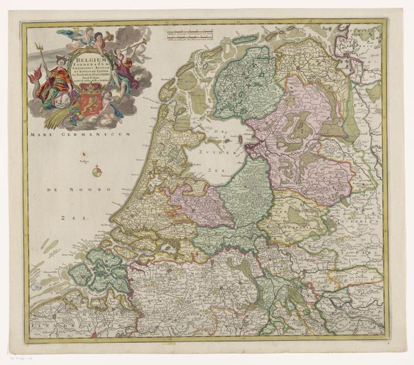
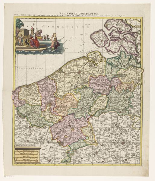
Kaart van de Republiek der Zeven Verenigde Nederlanden c. 1670 - 1706
0:00
0:00
frederikdewit
Rijksmuseum
graphic-art, print, engraving
#
graphic-art
#
aged paper
#
toned paper
#
dutch-golden-age
# print
#
old engraving style
#
landscape
#
tea stained
#
natural palette
#
engraving
Dimensions: height 479 mm, width 559 mm
Copyright: Rijks Museum: Open Domain
Curator: The visual balance struck in this engraving of the Dutch Republic is really quite compelling, wouldn't you agree? The topographical detailing is incredible, it's like gazing across an unfolding territory. Editor: The work before us is a print entitled "Kaart van de Republiek der Zeven Verenigde Nederlanden" or "Map of the Republic of the Seven United Netherlands". Created by Frederik de Wit between approximately 1670 and 1706, it’s a stunning example of Dutch Golden Age cartography currently held at the Rijksmuseum. What grabs me initially is how the artist’s use of a limited, almost natural palette enhances the aged effect. Curator: Yes, and consider how the engraving's line work articulates power, shaping how this Republic sought to project itself through detailed geographic representation. The natural palette evokes organic unity of the country, a nation rising up as a collective. Editor: Precisely! It is far more than just geographical record; it presents a politically-motivated image. The embellishments of the crest, angels and nationalistic symbols, coupled with strategic details relating to navigable waterways, for example, speak directly to the Republic’s ambition and strategic priorities. Curator: But what is visually intriguing is the contrast between this rather flamboyant embellishment and the measured, detailed rendering of the land itself, creating this rather complex semiotic system. Do these symbolic markers overwhelm the composition, or do they instead act as keys to unlocking the intentions behind its creation? Editor: An interesting point. In my view, the detailed landscape reflects a broader context of scientific and political aspiration. By meticulously rendering the land and claiming ownership of sea routes, it boldly stakes claims of authority. How this representation impacted on self-perception and shaped the views of other nations could fill volumes! Curator: Indeed, a fascinating reminder that art objects are very much mirrors reflecting wider currents of culture, science, and ideology. Editor: It is, yes, the materiality and the form both hold valuable social clues; clues which challenge our contemporary assumptions of both art and nation.
Comments
No comments
Be the first to comment and join the conversation on the ultimate creative platform.
More like this