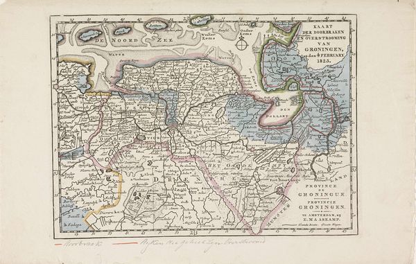
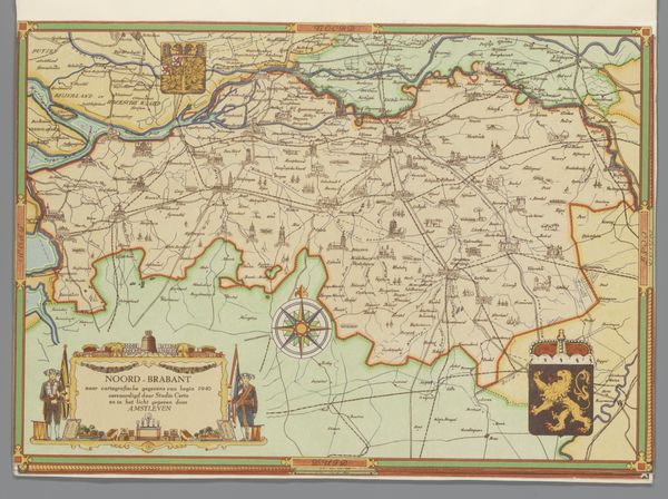
Kaart van Midden-Nederland met de gebieden getroffen door watersnood in 1726 1726 - 1735
0:00
0:00
drawing, mixed-media, paper, pen
#
drawing
#
mixed-media
#
baroque
#
paper
#
coloured pencil
#
pen work
#
pen
#
watercolour illustration
#
history-painting
#
mixed medium
Dimensions: height 193 mm, width 295 mm
Copyright: Rijks Museum: Open Domain
Balthasar Ruyter created this map of the areas of the Netherlands affected by flooding in 1726. Consider for a moment the intimate relationship the Dutch have had with water. The history of the Netherlands is deeply intertwined with the struggle to manage and control water. This map isn't just a geographical document, it is a stark reminder of a disaster that impacted the lives and livelihoods of countless people. Water is an integral part of Dutch identity; it is both a life-giving resource and a constant threat. This duality has shaped the Dutch culture and their engineering prowess. The emotional impact of such a disaster is palpable when viewing the flooded areas marked on the map. As we consider this map, it provides a lens through which we can view the intersection of environment, identity, and resilience in the face of nature's power.
Comments
No comments
Be the first to comment and join the conversation on the ultimate creative platform.
More like this