print, engraving
#
dutch-golden-age
# print
#
landscape
#
engraving
Dimensions: height 498 mm, width 631 mm
Copyright: Rijks Museum: Open Domain
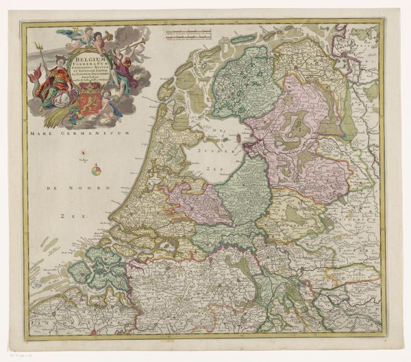
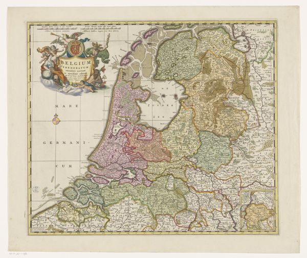
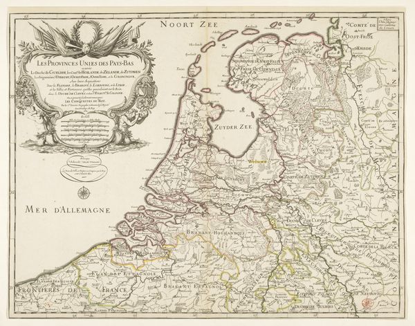
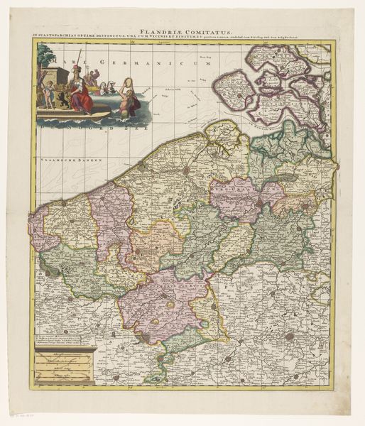
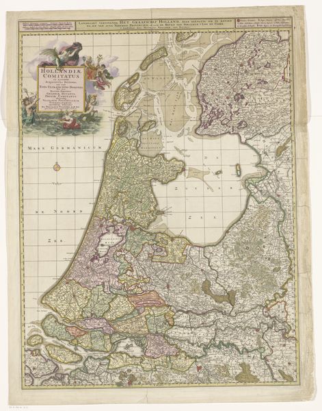
Editor: This engraving, titled "Kaart van de Republiek der Zeven Verenigde Nederlanden," or "Map of the Republic of the Seven United Netherlands," dates from between 1711 and 1719, during the Dutch Golden Age. What strikes me is how decorative even a map could be; what's the historical context of mapping like this? Curator: Maps like this one were definitely more than just practical tools. The elaborate borders, the allegorical figures… these are all designed to convey power and authority. Consider, who was this map made *for*? The inscription tells us "for the use of the most serene Duke of Burgundy.” Maps like this reinforced status, depicting territorial control not just factually but ideologically. Editor: So, the very act of creating and possessing a map was a statement? Almost like propaganda? Curator: Exactly. Maps played a key role in solidifying national identity and promoting a particular political vision. The way the borders are drawn, the prominence given to certain cities... all carefully crafted. What’s not shown is often as important as what *is* shown. Think about who was commissioning these maps, which audiences they were intended for, and the messages they were meant to convey. Editor: I never thought of a map as having that kind of power. I’ll definitely look at maps differently now, considering who created them and what they were trying to say. Curator: Indeed. By looking beyond just the geographical accuracy, we can uncover the political and social forces at play. It shows how deeply entwined art, power, and knowledge can be.
Comments
No comments
Be the first to comment and join the conversation on the ultimate creative platform.
More like this