graphic-art, print, engraving
#
graphic-art
#
dutch-golden-age
# print
#
line
#
cityscape
#
history-painting
#
engraving
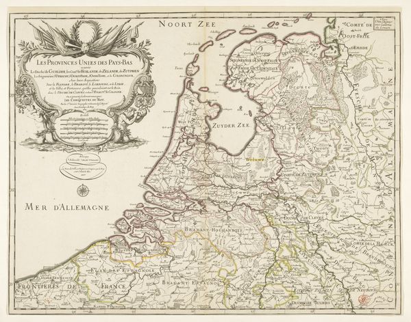
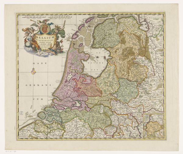
Dimensions: height 453 mm, width 595 mm
Copyright: Rijks Museum: Open Domain
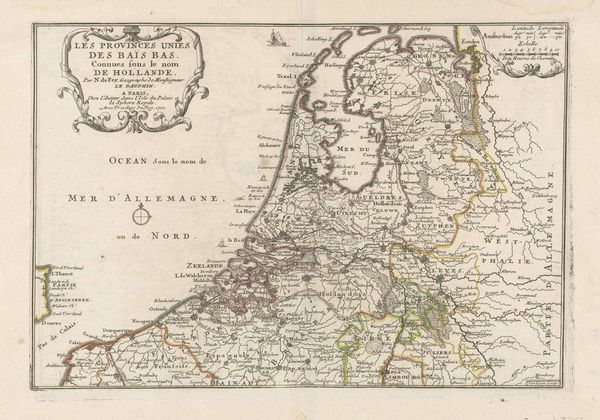
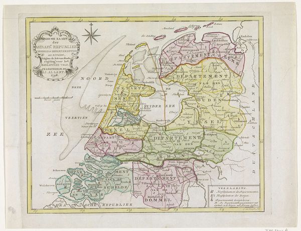
This map of the Dutch Republic was made by Harmanus van Loon in the late 17th century and rendered in ink. Cartography had become a highly developed science in the Netherlands and in other European countries by this period. The image creates meaning through its combination of visual codes and cultural references. The Dutch Republic was a major commercial power at the time and this map reflects the growing sense of national identity and pride. The inclusion of decorative elements suggests a self-conscious awareness of the politics of imagery. The Dutch Golden Age was a period of unprecedented economic growth and cultural achievement, and this map serves as a reminder of the Republic's power. By studying related documents, we can better understand the role of the historian in the interpretation of art, and how art is contingent on social and institutional context.
Comments
No comments
Be the first to comment and join the conversation on the ultimate creative platform.
More like this