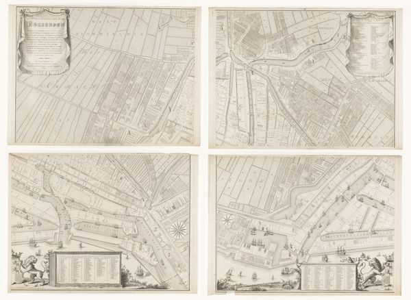
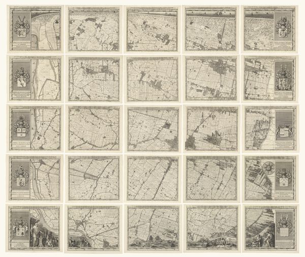
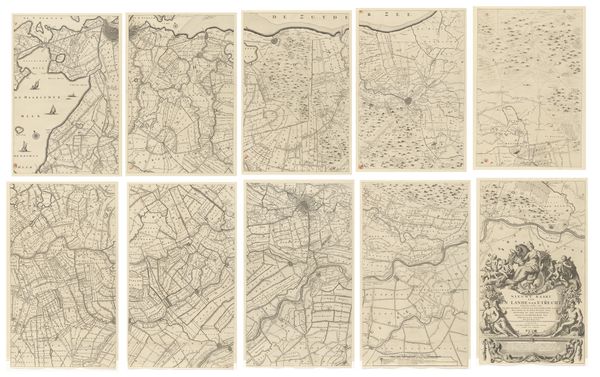
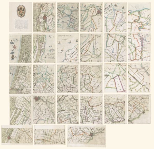
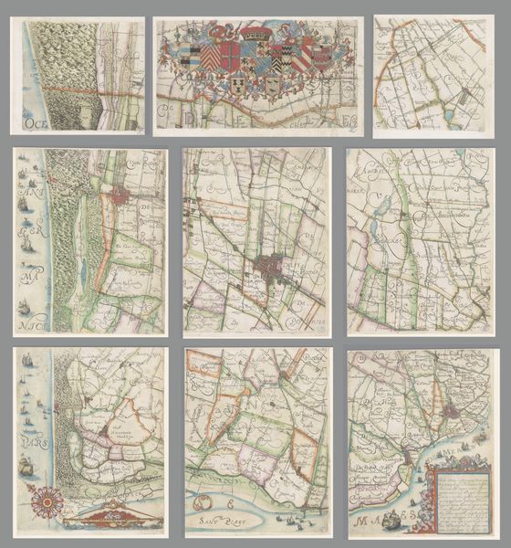
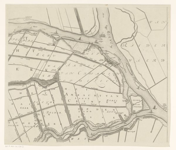
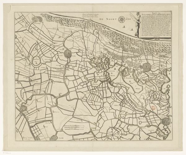
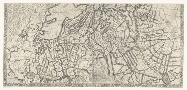
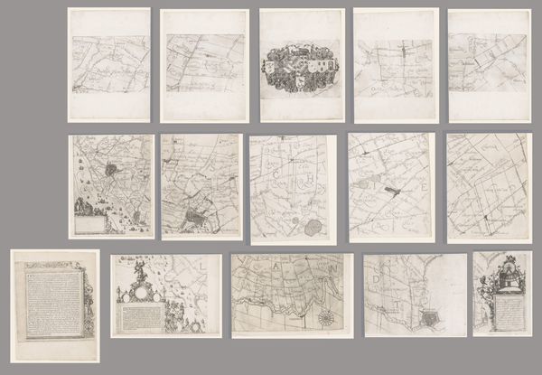
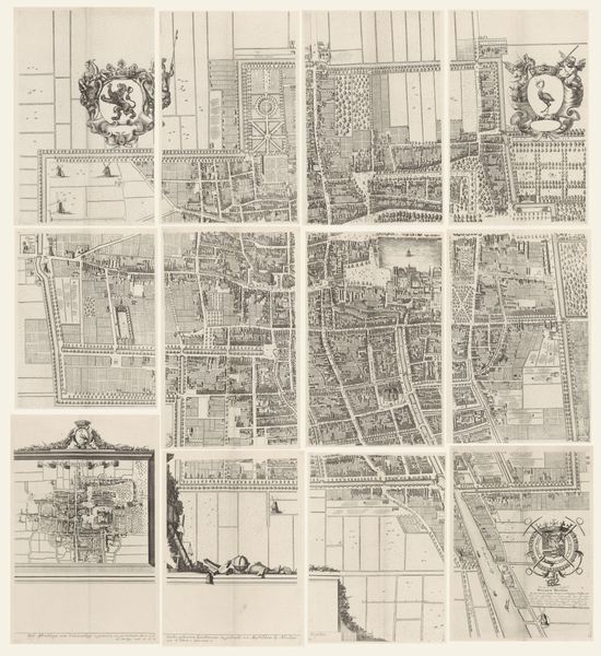
Kaart van het Hoogheemraadschap van de Krimpenerwaard, bestaande uit zes delen 1683 - 1755
0:00
0:00
johannesleupenius
Rijksmuseum
print, etching
#
dutch-golden-age
# print
#
etching
#
landscape
#
etching
Dimensions: height 965 mm, width 1563 mm
Copyright: Rijks Museum: Open Domain
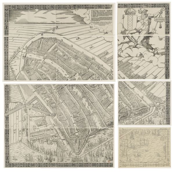
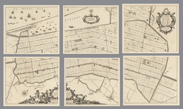
Johannes Leupenius produced this six-part map of the Hoogheemraadschap of Krimpenerwaard, likely in the late 17th century, using engraving. This is an important clue: the map is not just a representation of land, but also of labor. Engraving involves meticulously incising lines into a metal plate, which is then inked and printed. The precision required is immense, reflecting the value placed on accuracy in representing land ownership and water management. The Krimpenerwaard, a low-lying area in the Netherlands, was heavily dependent on engineered waterways. Consider the social context: land reclamation projects of this era transformed the Dutch landscape and economy, requiring skilled labor. Leupenius’s map participated in the administration of this new reality, detailing plots of land, waterways, and infrastructure. Ultimately, the print is more than just a map. It’s a document of human intervention in the landscape, and a testament to the skilled labor required to manage it. It blurs the boundaries between art, craft, and engineering.
Comments
No comments
Be the first to comment and join the conversation on the ultimate creative platform.
More like this