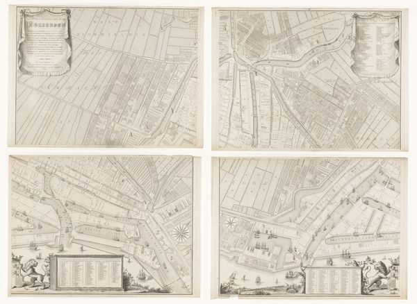
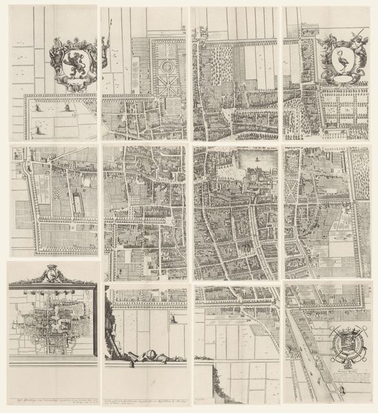
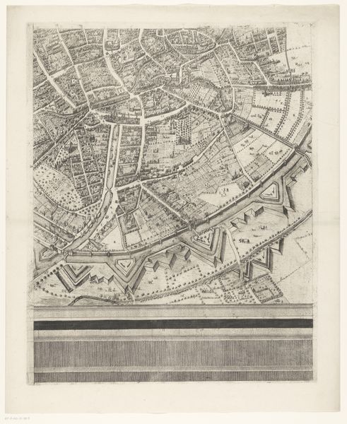
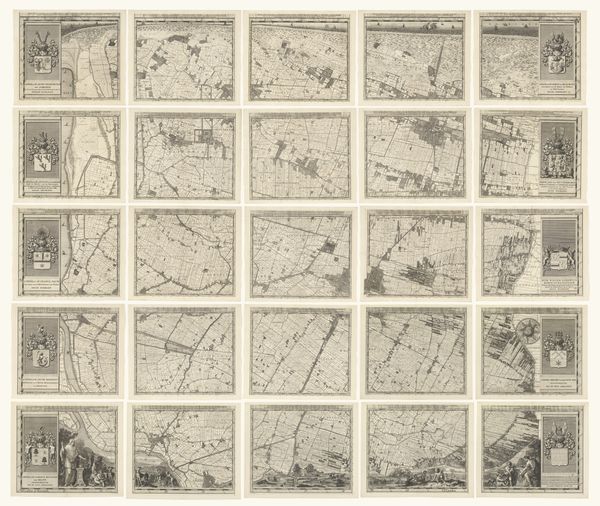
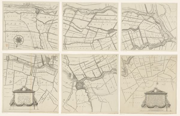
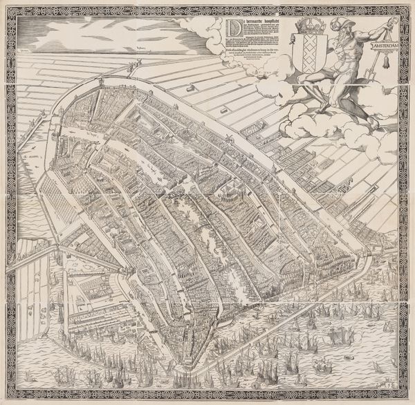
Plattegrond van Amsterdam, 1544, bestaande uit elf delen (twaalfde deel ontbreekt) c. 1544 - 1557
0:00
0:00
cornelisanthonisz
Rijksmuseum
drawing, print, ink, engraving
#
pen and ink
#
drawing
#
dutch-golden-age
# print
#
old engraving style
#
11_renaissance
#
linework heavy
#
ink
#
geometric
#
pen work
#
cityscape
#
engraving
Dimensions: height 1078 mm, width 1105 mm
Copyright: Rijks Museum: Open Domain
Cornelis Anthonisz. made this woodcut map of Amsterdam in 1544, assembling it from eleven parts. This wasn't just a technical drawing; it was a statement of civic pride. The choice of woodcut is important here. It allowed for relatively quick and cheap reproduction, making the image accessible to a wide audience. Look closely, and you'll notice the incredible detail: buildings, canals, even individual ships, all rendered with remarkable precision. This level of detail wouldn't have been possible without skilled craftsmanship. The artist meticulously carved the design into wooden blocks, which were then inked and pressed onto paper. But consider too what the map leaves out. The labor required to build and maintain the city is invisible, and the social inequalities inherent in its structure are glossed over. Nevertheless, this map stands as a testament to both the artistry and the social context of its creation.
Comments
No comments
Be the first to comment and join the conversation on the ultimate creative platform.
More like this