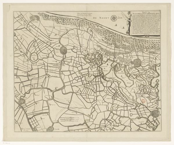
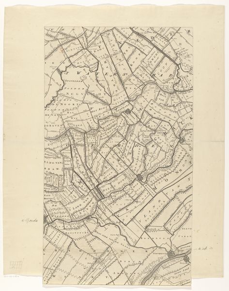
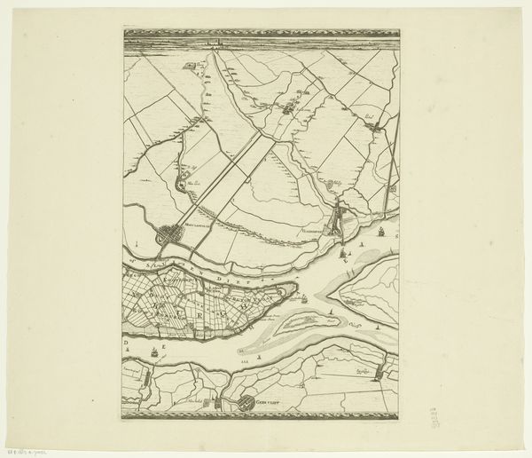
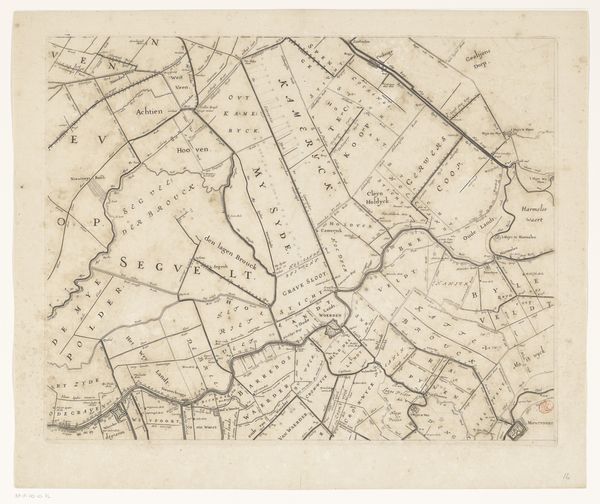
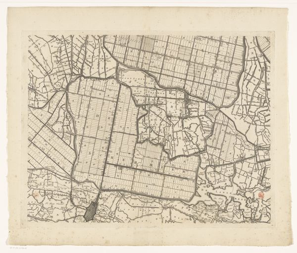
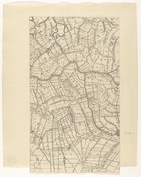
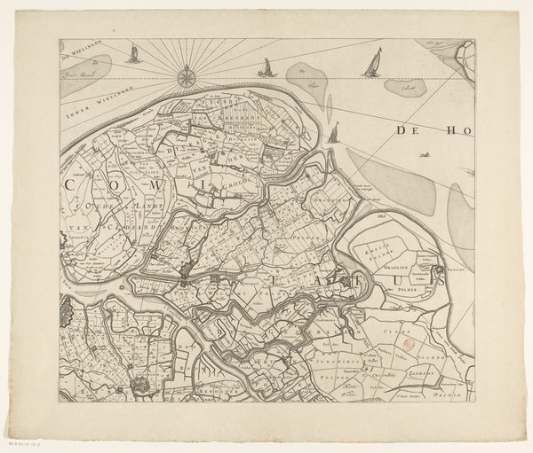
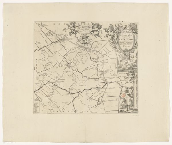
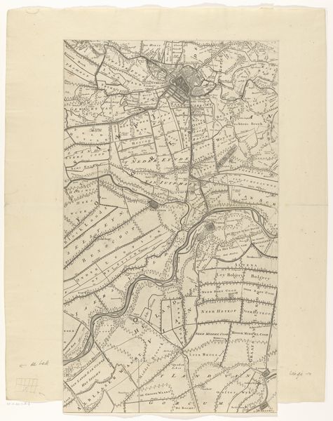
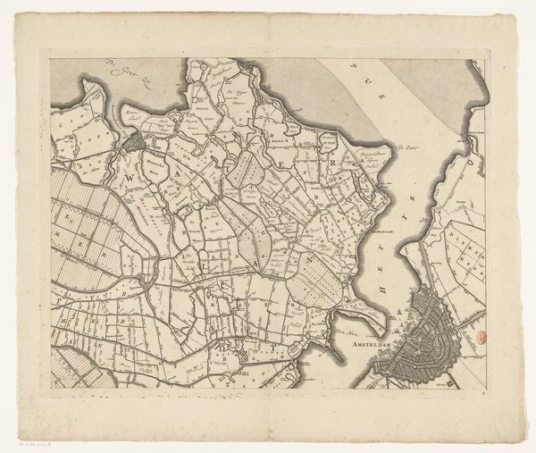
Kaart van Amstelland (bovenste en onderste delen) Possibly 1685 - 1750
0:00
0:00
danielstopendaal
Rijksmuseum
drawing, print, etching, ink
#
drawing
#
dutch-golden-age
# print
#
pen illustration
#
etching
#
landscape
#
ink
#
geometric
Dimensions: height 495 mm, width 1143 mm
Copyright: Rijks Museum: Open Domain
Editor: Here we have "Kaart van Amstelland," a map of Amstelland, created sometime between 1685 and 1750, possibly by Daniël Stopendaal. It's an ink and etching print. Looking at the intricate lines, it seems very precise, but also…distant, I guess? What do you see in this piece beyond a historical record? Curator: Well, it's easy to see it just as a historical document, but let's think about power structures at play. Maps are never neutral. Who commissioned this map? Whose land is being meticulously recorded and, essentially, claimed? Maps like these were tools of governance and control, establishing property rights and defining territories in a way that served particular interests. Editor: So you’re saying it’s less about objective geography and more about the social and political landscape of the time? Curator: Precisely. Think about land reclamation efforts in the Netherlands during this period. This map reflects that impulse to control and organize the environment. It highlights how the Dutch were actively shaping their world and the visual vocabulary they used to assert these efforts and signal them to a larger audience. Editor: I hadn't considered that. How does viewing this through a feminist lens change our interpretation? Curator: Excellent question. Maps, traditionally a masculine domain, symbolized power, exploration, and domination. Where are the female cartographers? It also brings questions around land ownership; how did this mapping affect the women working and living on that land? How did this impact indigenous communities that might have originally settled this land before it became reclaimed. Editor: This really makes you think about whose story gets told, or in this case, mapped. I definitely see it in a completely different light now. Curator: And that's exactly why it’s so crucial to consider all these different elements when engaging with art of any kind. Editor: I will definitely carry these concepts with me. Thank you.
Comments
No comments
Be the first to comment and join the conversation on the ultimate creative platform.
More like this