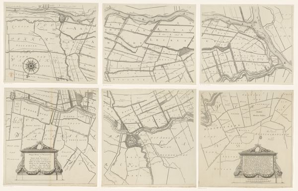
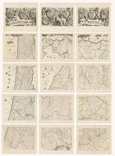
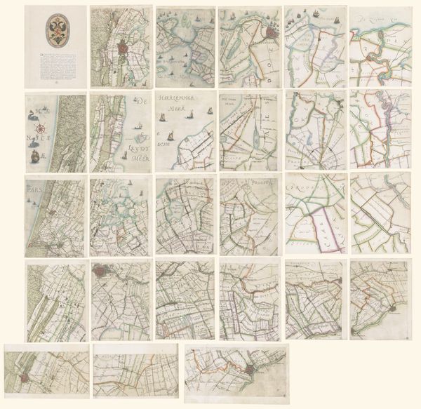
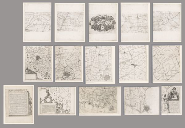
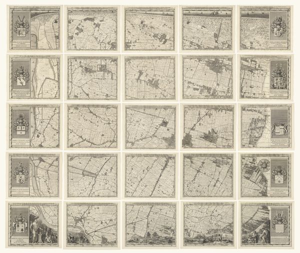
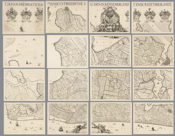
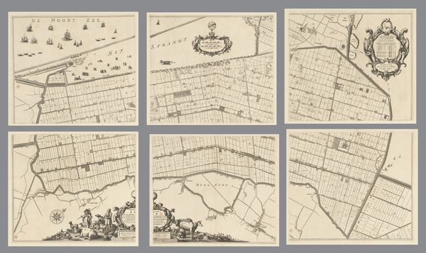
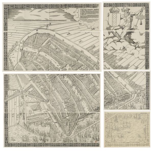
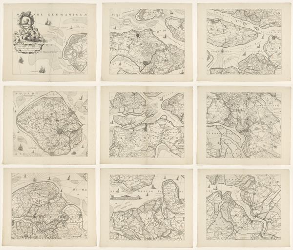
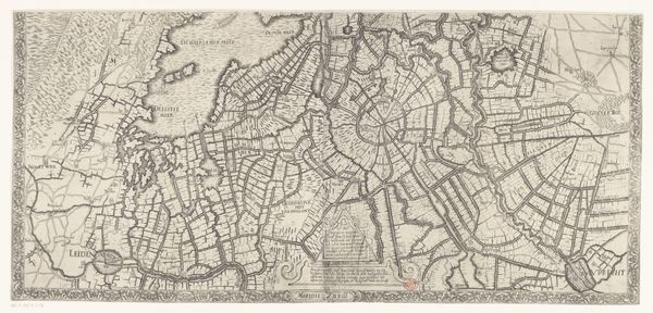
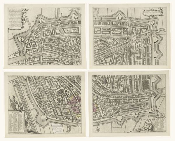
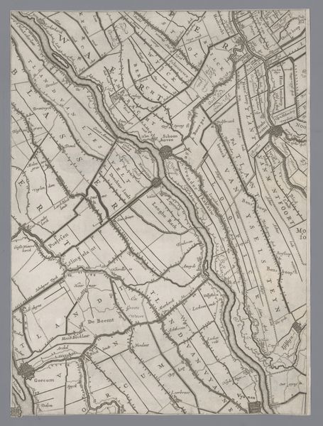
Kaart van de provincie Utrecht, bestaande uit tien delen after 1696
0:00
0:00
thomasdoesburgh
Rijksmuseum
print, etching, ink, engraving
# print
#
etching
#
landscape
#
etching
#
ink
#
geometric
#
history-painting
#
engraving
Dimensions: height 1201 mm, width 1851 mm
Copyright: Rijks Museum: Open Domain
Here we see "Kaart van de provincie Utrecht, bestaande uit tien delen" by Thomas Doesburgh, a meticulously crafted map composed of ten sections. Notice the sepia tones, achieved through etching, which lend the piece a sense of historical depth and unity. The map's power lies in its intricate network of lines. They divide the landscape into a matrix of fields and waterways, demonstrating a structured view of spatial organization. The visual language here becomes a system of signs, each line and symbol contributing to a semiotic representation of the province. Consider how the map does more than just represent the landscape. Its formal structure—the careful arrangement of parts, the density of detail in certain areas versus the relative openness of others—creates its own form of knowledge. It invites us to consider how space is conceived, controlled, and communicated. This interplay between form and representation invites ongoing interpretation, challenging us to question how we perceive and interact with our environment.
Comments
No comments
Be the first to comment and join the conversation on the ultimate creative platform.
More like this