print, engraving
#
baroque
#
dutch-golden-age
# print
#
landscape
#
geometric
#
cityscape
#
engraving
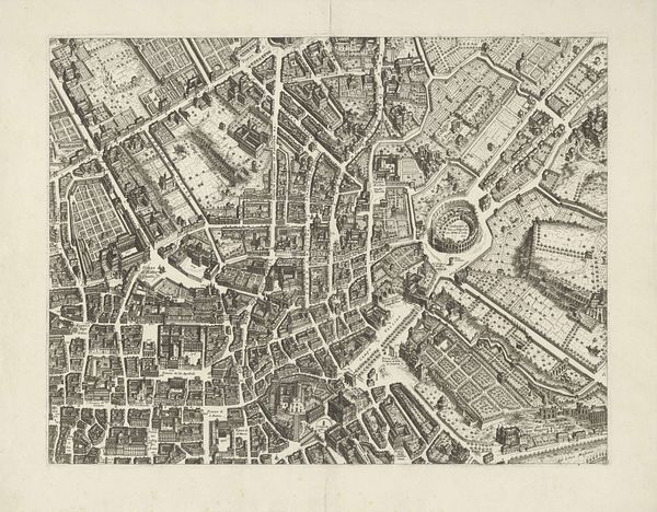
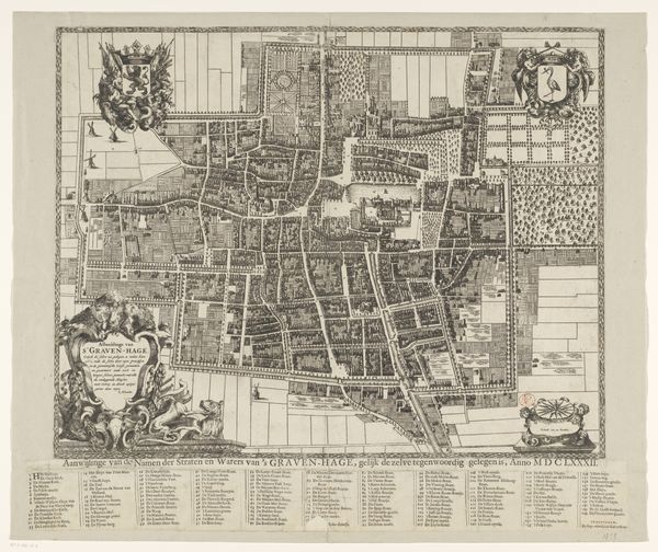
Dimensions: height 548 mm, width 651 mm
Copyright: Rijks Museum: Open Domain
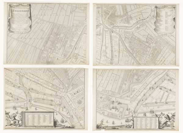
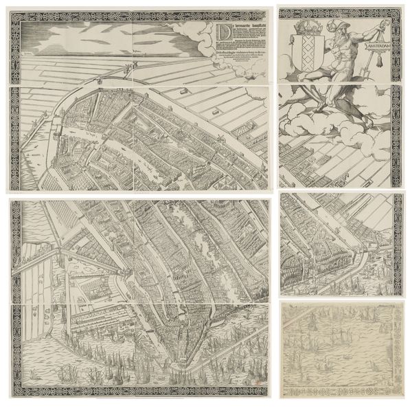
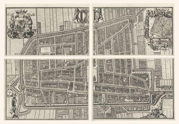
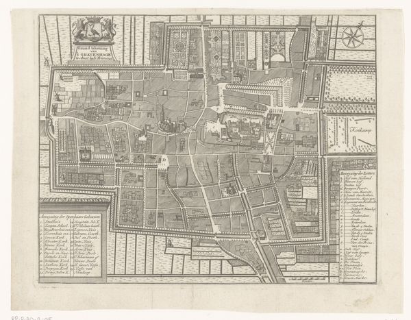
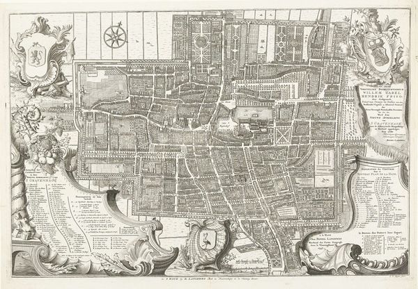
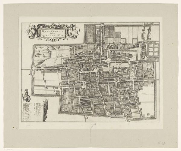
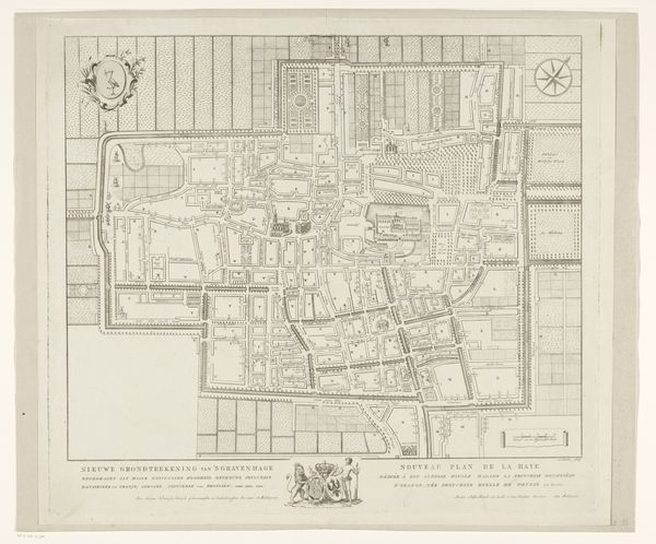
This map of The Hague, made by Cornelis Elandts in the late 17th century, is composed of twelve separate, meticulously engraved plates. The technique of engraving involves cutting lines into a metal plate, applying ink, and then transferring the image onto paper with the use of a printing press. The crisp, precise lines enabled by this process allowed Elandts to depict the city’s layout with remarkable accuracy. Consider the labor involved in creating each plate, and the co-ordination it must have taken to assemble the final map. Elandts wasn’t just representing The Hague; he was also actively shaping its image and accessibility. The map is a tool of power, allowing those who could afford it to literally grasp the city in their hands. By focusing on the materials and processes used in its creation, we can appreciate this map not just as a historical document but as a product of skilled labor, commerce, and social ambition.
Comments
No comments
Be the first to comment and join the conversation on the ultimate creative platform.
More like this