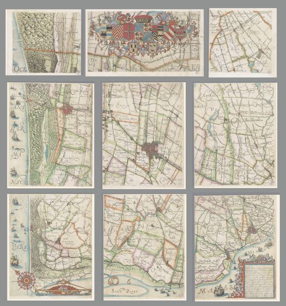
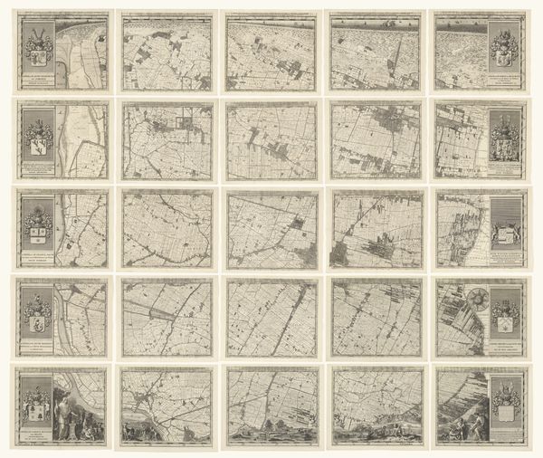
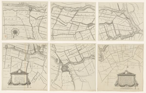
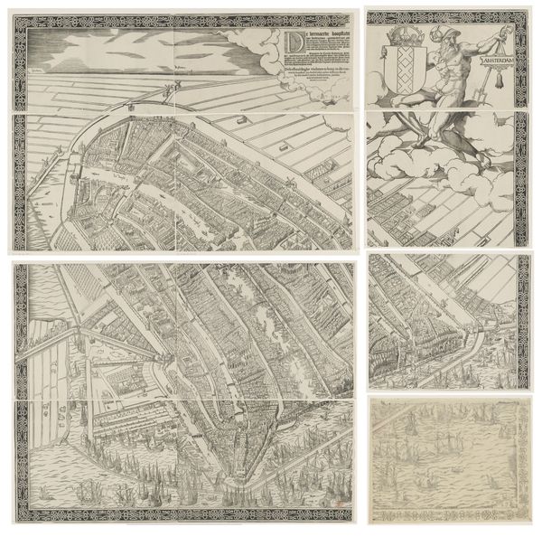
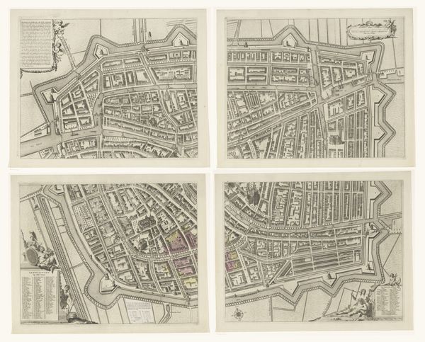
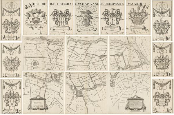
drawing, print, ink
#
drawing
#
dutch-golden-age
# print
#
landscape
#
ink
#
geometric
Dimensions: height 1670 mm, width 1700 mm
Copyright: Rijks Museum: Open Domain
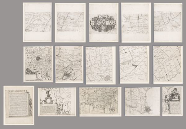
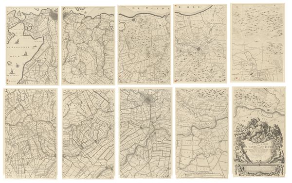
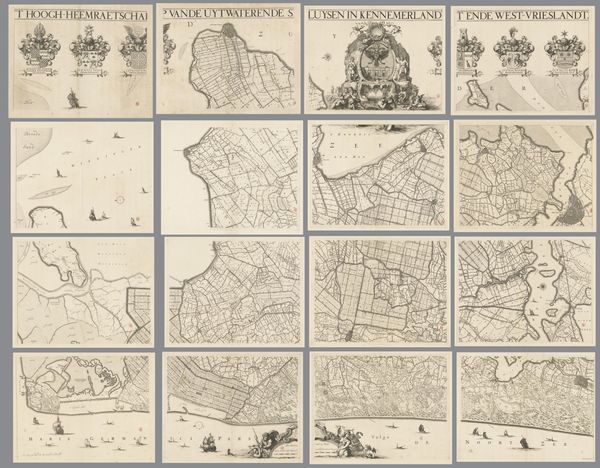
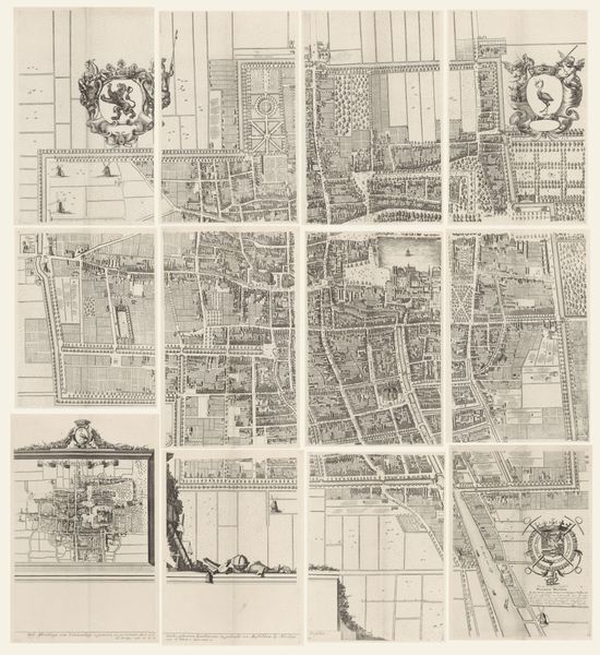
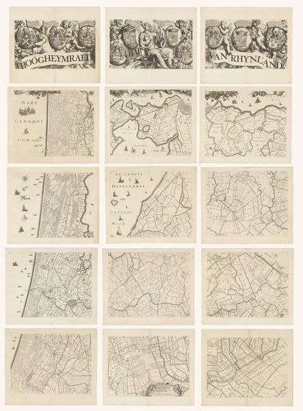
Editor: Here we have *Kaart van het Hoogheemraadschap van Rijnland*, a 1615 drawing and print in ink by Floris Balthasarsz van Berckenrode. It's fascinating how this map is comprised of numerous smaller map sections organized geometrically. What can you tell us about this artwork? Curator: This piece speaks volumes about power, land ownership, and the Dutch Golden Age’s obsession with control over their environment. Consider the sociopolitical context: mapping wasn't just about geography, it was about claiming space, defining boundaries, and, critically, exerting authority. What do these boundaries *mean*, historically? Editor: So, beyond simply depicting the landscape, this map reflects the High Water Board of Rijnland's influence? Curator: Precisely! These maps weren’t neutral documents; they served as instruments of governance, reflecting the elite’s investment in land reclamation and water management, which heavily impacted local communities and shaped socio-economic hierarchies. Who benefitted from this "reclaimed" land, and at whose expense? Editor: It’s interesting to consider how a seemingly objective map can reveal layers of social and political dynamics. I hadn't considered the social power that cartography possessed at the time. Curator: Maps *create* the territories they depict, normalizing specific power structures. Think about the environmental consequences, too, of drastically altering the landscape. How do we view this legacy of intervention today, given the climate crisis? Editor: Looking at this artwork now, I can appreciate its significance beyond its aesthetic qualities. It's not just a landscape; it's a statement about power, control, and human intervention in nature. Curator: Indeed. Engaging with art is an opportunity to explore these intricate relationships between history, power, and visual representation.
Comments
No comments
Be the first to comment and join the conversation on the ultimate creative platform.
More like this