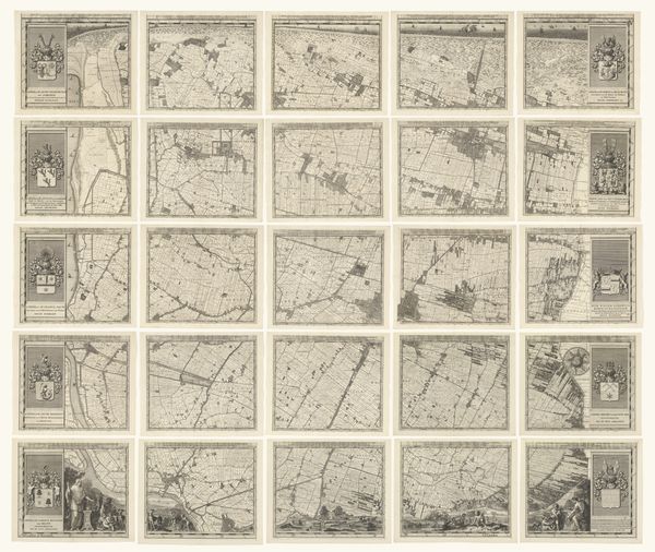
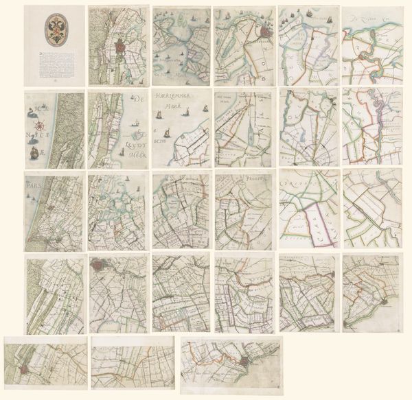
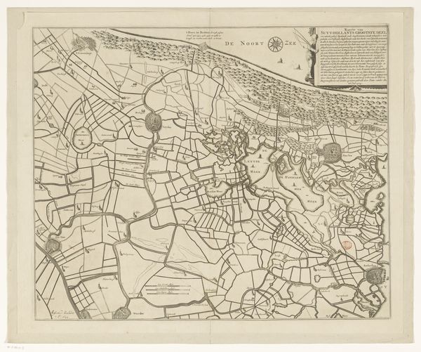
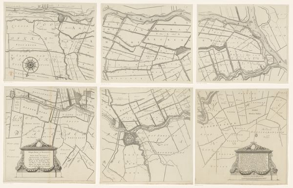
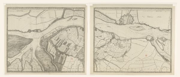
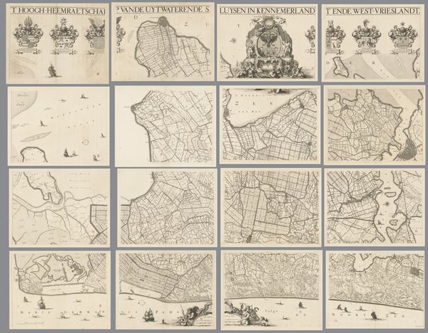
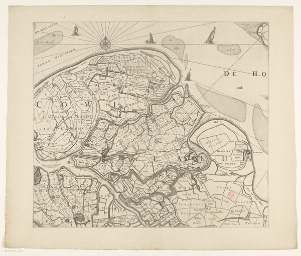
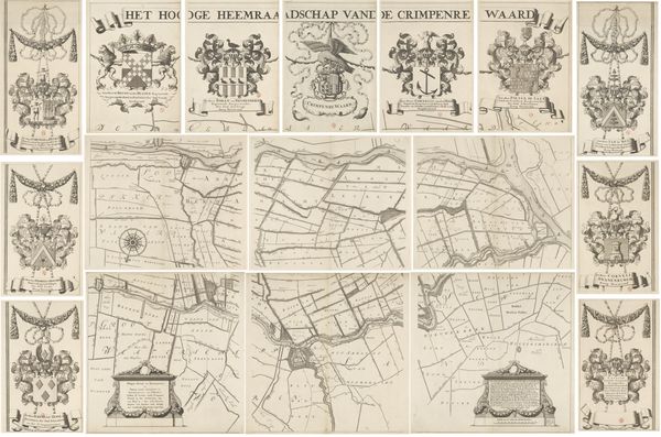
Kaart van het Hoogheemraadschap van Delfland, bestaande uit negen delen 1611 - 1692
0:00
0:00
florisbalthasarszvanberckenrode
Rijksmuseum
drawing, graphic-art, paper, ink
#
drawing
#
graphic-art
#
map drawing
#
medieval
#
landscape
#
paper
#
ink
#
map making
Dimensions: height 995 mm, width 915 mm
Copyright: Rijks Museum: Open Domain
This is Floris van Berckenrode’s "Map of the Delfland Water Board," made around 1600, using pen, ink, and watercolor. The map presents a detailed view of the Dutch waterways. Notice how prominently the coat of arms is displayed. Heraldry like this serves not just as identification, but as a potent symbol of power, lineage, and cultural memory. These emblems are passed down through generations, evoking a sense of continuity and ancestral connection. Think of similar symbols throughout history, from the Roman eagles to the fleur-de-lis of France. The persistence of such symbols speaks to our deep-seated need for identity and belonging, a collective unconscious yearning to connect with the past. The act of displaying and recognizing these symbols taps into primal emotions, reinforcing social structures. Consider how these water maps might resemble astrological maps, with their combination of scientific and symbolic. These two types of maps tap into a deep, primordial need to understand our place in the world. The impulse to map, whether the stars above or the land around us, resonates across centuries.
Comments
No comments
Be the first to comment and join the conversation on the ultimate creative platform.
More like this