drawing, print, engraving
#
drawing
#
pen drawing
#
dutch-golden-age
# print
#
landscape
#
linocut print
#
geometric
#
pen-ink sketch
#
line
#
engraving
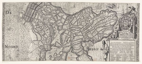
Dimensions: height 326 mm, width 703 mm
Copyright: Rijks Museum: Open Domain
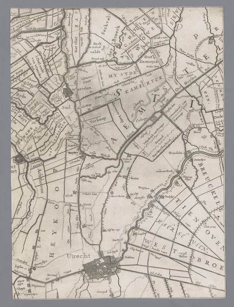
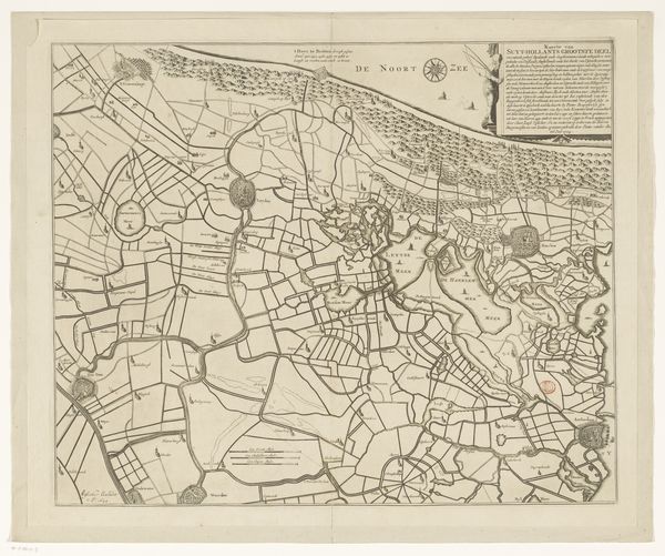
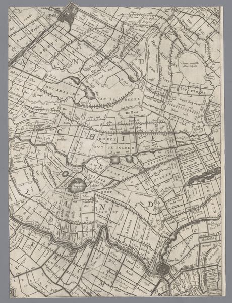
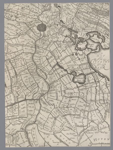
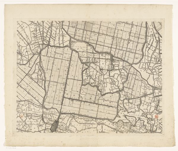
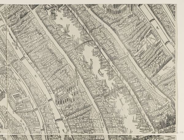
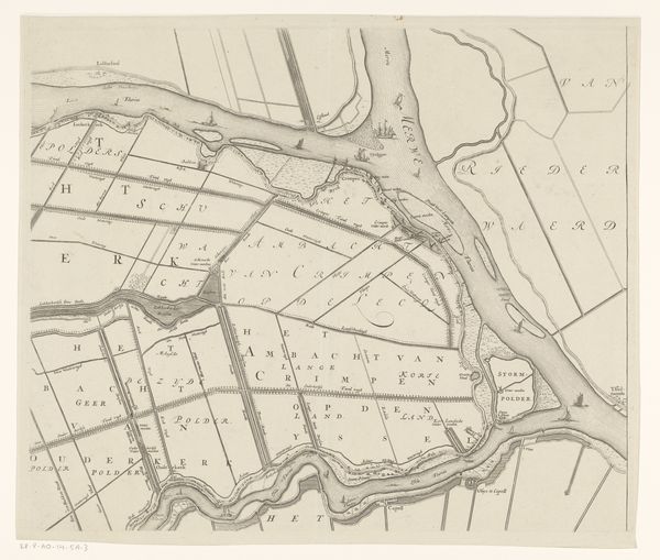
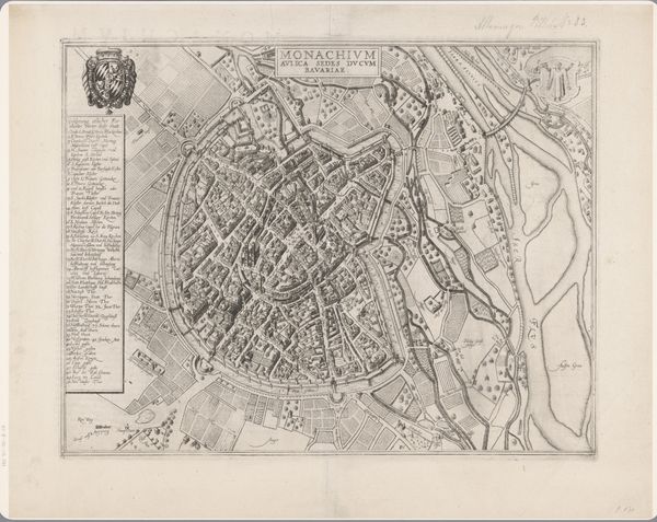
This is Joost Jansz. Bilhamer's map of North Holland, etched sometime in the 16th century. Notice the ordered pattern of the landscape, a spiderweb of waterways, and the towns laid out like fortifications. This deliberate shaping of the earth recalls the Roman practice of centuriation, dividing land into precise grids for agricultural use and civic control. This symbol, echoing from antiquity, surfaces here as a manifestation of man's attempt to impose order upon nature, mirroring a deep psychological need to tame the chaotic forces of the world. The concentric circles around the cities evokes a sense of protection, of civilization pushing back against the unknown. The map itself becomes a powerful symbol, not just of place, but of the eternal human impulse to understand, control, and leave our mark. This impulse, though rational in its intention, is steeped in the emotional desire for security and dominance, emotions that continue to drive us.
Comments
No comments
Be the first to comment and join the conversation on the ultimate creative platform.
More like this