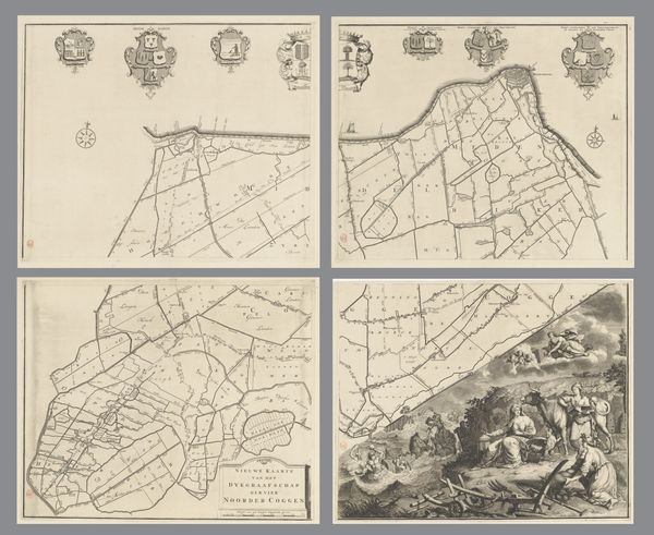
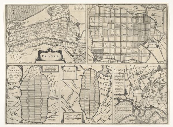
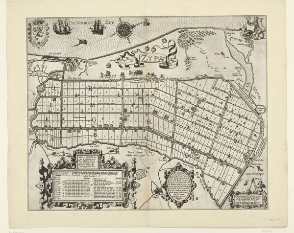
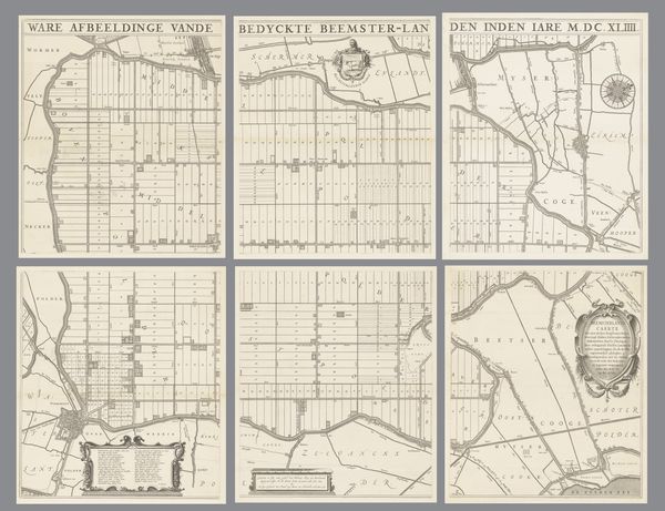
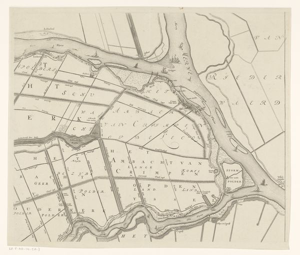
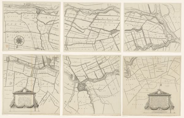
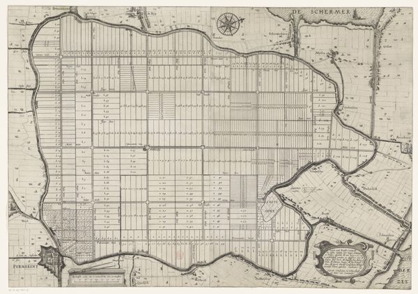
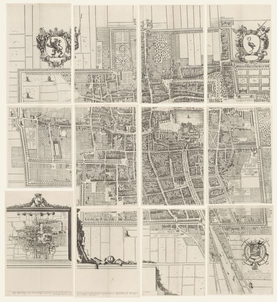
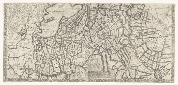
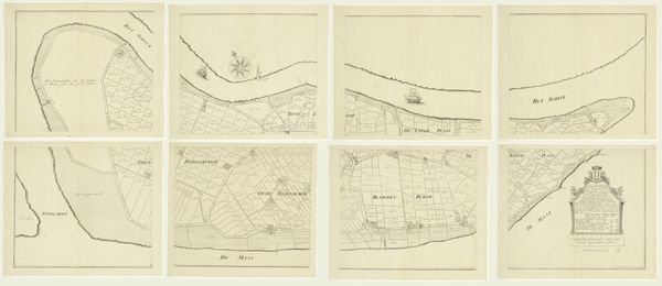
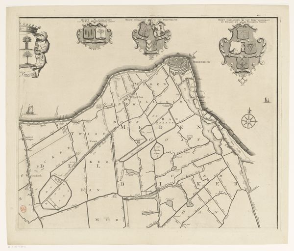
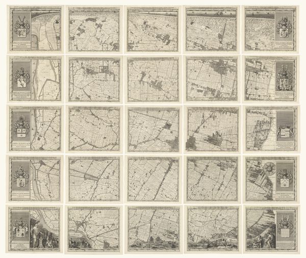
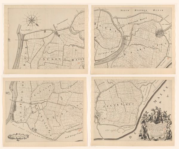
Kaart van de Zijpe- en Hazepolder, bestaande uit zes delen 1665 - 1760
0:00
0:00
reiniervanpersijn
Rijksmuseum
print, engraving
#
dutch-golden-age
# print
#
landscape
#
geometric
#
architectural drawing
#
architecture drawing
#
engraving
Dimensions: height 949 mm, width 1608 mm
Copyright: Rijks Museum: Open Domain
This map of the Zijpe- and Hazepolder was made by Reinier van Persijn in the 17th century, using engraving techniques. It’s not just a way of showing space, but also a product of labor. Look closely and you'll see the result of patient work with sharp tools, cutting lines into a metal plate. Ink would have been pressed into these lines, and then transferred to paper – a skilled, physical process. The clarity and detail speak to Persijn’s expertise as an engraver, part of a tradition that valued precision. The map isn't just a representation of land, but also a demonstration of skill. And the land itself tells a story of labor and politics. The Zijpe- and Hazepolder were areas of reclaimed land, drained and divided for agricultural use. The map, therefore, represents the imposition of order on nature, and the commodification of land for economic gain. It reflects the rise of capitalism and the increasing importance of land ownership in the Dutch Golden Age.
Comments
No comments
Be the first to comment and join the conversation on the ultimate creative platform.
More like this