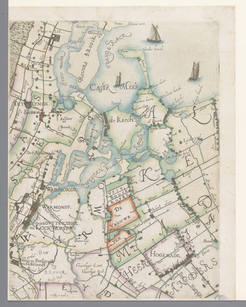
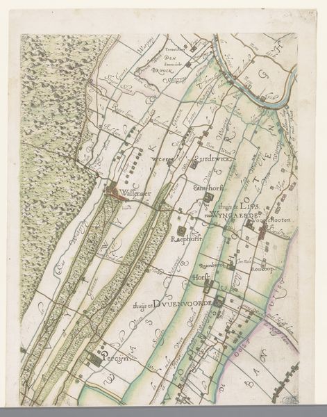
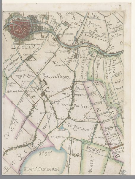
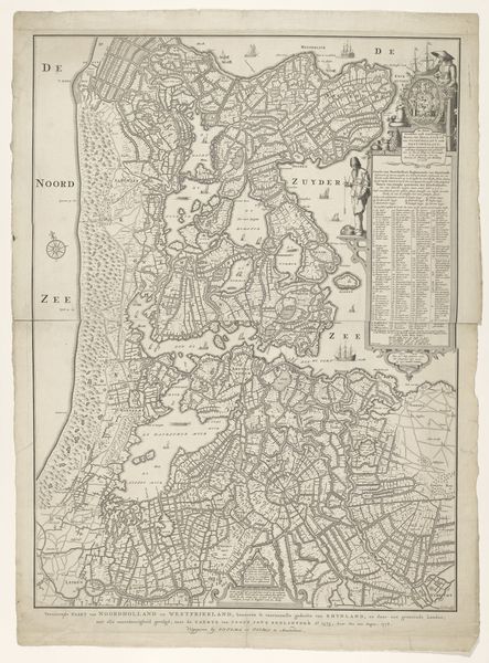
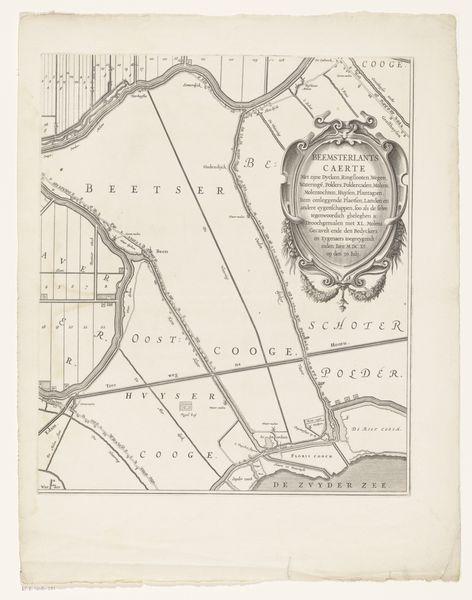
Deel van een kaart van Rijnland, met Haarlem en omgeving 1615
0:00
0:00
florisbalthasarszvanberckenrode
Rijksmuseum
tempera, painting, plein-air
#
tempera
#
dutch-golden-age
#
painting
#
plein-air
#
landscape
#
cityscape
#
history-painting
Dimensions: height 373 mm, width 278 mm
Copyright: Rijks Museum: Open Domain
Curator: Looking at "Deel van een kaart van Rijnland, met Haarlem en omgeving" from 1615, made with tempera, I'm struck by the intricate details of this section of a map, it gives so much perspective to this city. Editor: Immediately I see a symbolic dance between order and nature; this feels quite archetypal, in many ways embodying how the culture viewed the land. Curator: This work presents a fascinating case study for how the Golden Age Dutch artists approached landscape as a statement of both civic pride and geographic authority. Consider the influence the Eighty Years' War would have on artists choosing to depict the local cities in the landscape around them, to cement a legacy for the nation as well as represent it artistically. Editor: Precisely! The iconography suggests the taming of nature. I see little ships depicted. There’s Haarlem itself, fortified of course. It suggests maritime prowess and military might. I can practically feel the collective anxieties and aspirations embedded in this image. It’s more than just a map. Curator: Agreed, that the city is centralized within this piece gives Haarlem power and position within the history of this piece. It speaks volumes about Dutch societal priorities. The history surrounding city development and urban planning during the time period suggests a deliberate construction of power. This is why there's importance to historical records. Editor: That's a great insight! This goes beyond surface-level meaning and the power these images have for centuries to come! Thanks to this record we can delve even deeper into a rich tapestry of the culture's past, through the lens of their urban centers and through their vision. Curator: Absolutely, and viewing it within the wider historical and social context enables the discovery of multiple complex layers and perspectives of the artists! Editor: Well, I know I won’t look at maps the same way again. The land has many cultural stories to tell.
Comments
No comments
Be the first to comment and join the conversation on the ultimate creative platform.
More like this