print, engraving
#
pen drawing
#
dutch-golden-age
# print
#
pen sketch
#
old engraving style
#
landscape
#
geometric
#
line
#
engraving
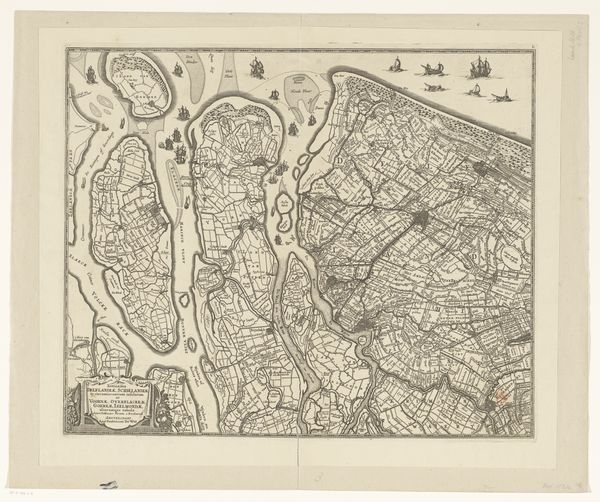
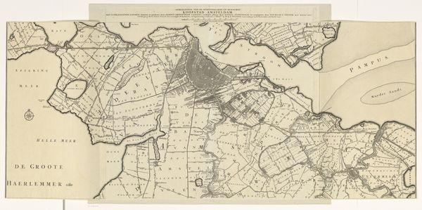
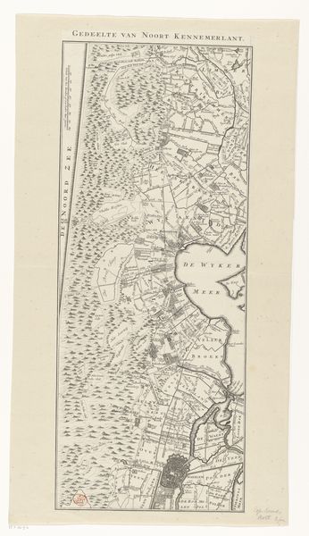
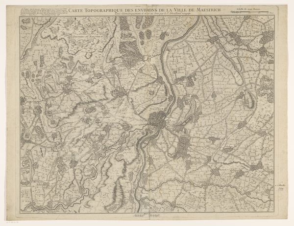
Dimensions: height 970 mm, width 694 mm
Copyright: Rijks Museum: Open Domain
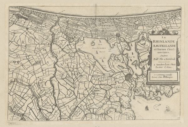
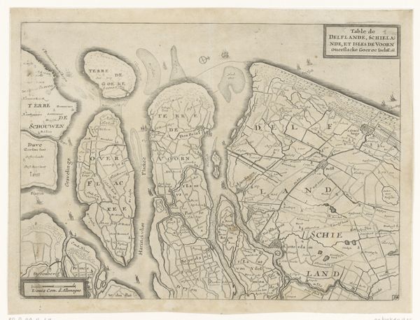
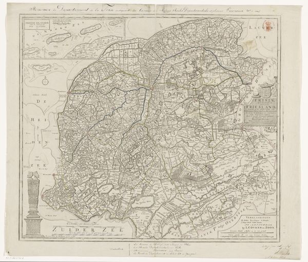
Jan van Jagen created this map of Noord-Holland in the 18th century. The linear structure of the landscape emphasizes the relationship between land and water, with a geometric aesthetic influenced by the rationalism of the Enlightenment. At first glance, one is struck by the intricate lines forming a dense network across the page, defining polders, waterways, and plots of land. This cartographic representation uses line, shape, and symbols to convey complex information about geographical space and human modification. The composition is carefully balanced, employing a system of signs that would have been understood within a specific cultural and scientific context. The map not only serves a practical function but also conveys a particular worldview. It shows an attempt to impose order on the natural world through rational planning. The map, therefore, challenges fixed notions of nature by representing it as a space that can be measured, divided, and controlled.
Comments
No comments
Be the first to comment and join the conversation on the ultimate creative platform.
More like this