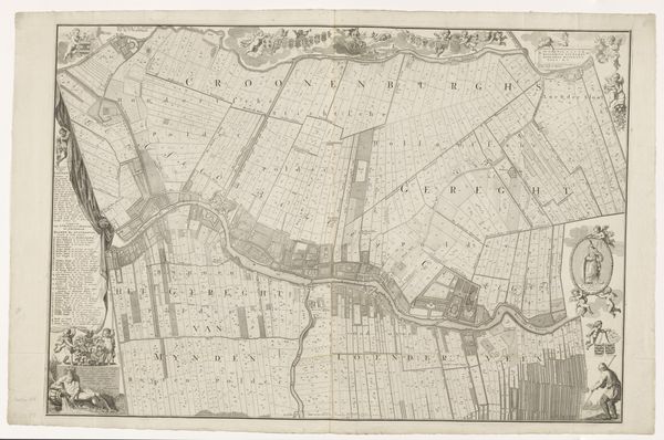
Kaart van het Hoogheemraadschap van Rijnland (veertiende deel) 1647 - 1687
0:00
0:00
cornelisidanckerts
Rijksmuseum
graphic-art, print, etching
#
graphic-art
#
dutch-golden-age
# print
#
etching
#
landscape
#
etching
#
personal sketchbook
Dimensions: height 417 mm, width 573 mm
Copyright: Rijks Museum: Open Domain
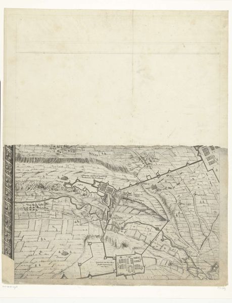
This is Cornelis Danckerts' map of Rijnland, an area in the Netherlands, printed some time in the 17th century. The map offers us insight into the economic and social landscape of the time. It illustrates an engineered landscape, carefully divided and managed. These divisions weren't just about land; they reflected a deeply structured society. In the 17th century, the Dutch Golden Age, land ownership was power, directly influencing social status and political say. You can almost feel the weight of responsibility these landowners carried, not just for their own prosperity, but for the collective effort of maintaining this carefully constructed world. It makes you think about who had access to this power, and who was excluded. These maps weren't just navigational tools; they were statements of control. Reflecting on this map, we can consider how the desire to control nature is often intertwined with social hierarchies and power dynamics. The personal and political were, and perhaps always will be, deeply connected.
Comments
No comments
Be the first to comment and join the conversation on the ultimate creative platform.
More like this