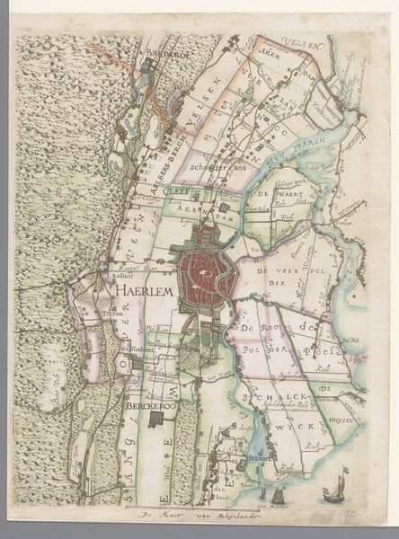
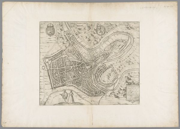
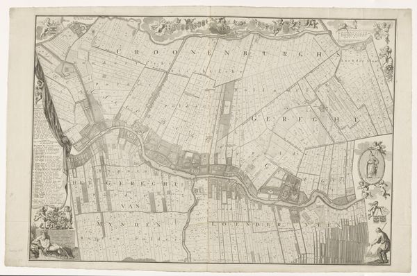
Deel van een kaart van het Hoogheemraadschap van Rijnland, met Warmond en de Kaag 1615
0:00
0:00
florisbalthasarszvanberckenrode
Rijksmuseum
drawing, paper, ink
#
drawing
#
dutch-golden-age
#
landscape
#
paper
#
ink
#
geometric
Dimensions: height 364 mm, width 275 mm
Copyright: Rijks Museum: Open Domain
Curator: This drawing, "Deel van een kaart van het Hoogheemraadschap van Rijnland, met Warmond en de Kaag," was made in 1615 by Floris Balthasarsz van Berckenrode. It’s ink on paper. What strikes you about it? Editor: It’s surprisingly detailed, like a blueprint almost. I'm intrigued by the shapes, all those rectangles, and the curving waterways. How would you approach understanding this? Curator: Look closely at the process of its making. Think about the labour involved. Consider the materials: paper, ink. It shows the transformation of the Dutch landscape through human intervention, the draining and claiming of land for agriculture. The geometric shapes you mentioned aren’t just abstract forms; they represent fields, plots of land, resources that were being actively reshaped. This map embodies early forms of land management, even ownership. Can you imagine the societal changes impacting what they choose to depict and how? Editor: So, you're saying the *making* of this map reflects the societal control over the land? The act of drawing becomes a form of claiming space, dictating who gets what? Curator: Precisely! It’s about visualizing control and production. Notice the ships too, carefully rendered as a part of landscape – vital components in a network of trade and resource transportation. Does it change your impression seeing the piece this way? Editor: Definitely. I initially saw it as just a pretty old map, but now it feels like evidence of early capitalist resource management. Thanks, this gives me a new lens! Curator: Exactly. Considering materiality and its relation to economic practice allows us to think critically about seemingly objective representations of space. A great finding!
Comments
No comments
Be the first to comment and join the conversation on the ultimate creative platform.
More like this