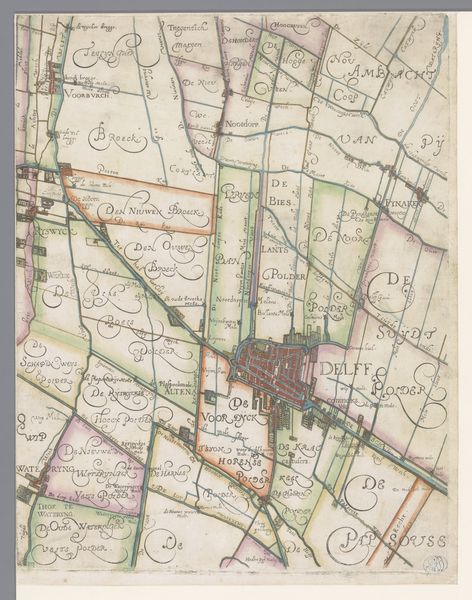
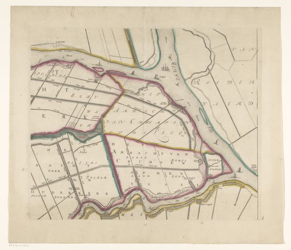
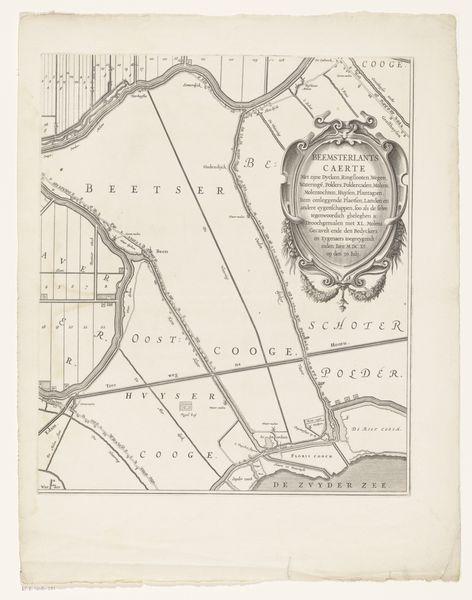
Kaart van het Hoogheemraadschap van Delfland, met Zevenhuizen en Bleiswijk, deel rechtsboven 1611 - 1692
florisbalthasarszvanberckenrode
Rijksmuseum
drawing, print, etching, paper
architectural sketch
drawing
aged paper
etching
sketch book
landscape
paper
personal sketchbook
sketchwork
sketchbook drawing
storyboard and sketchbook work
sketchbook art
initial sketch
orthographic sketch
Dimensions: height 239 mm, width 240 mm
Copyright: Rijks Museum: Open Domain
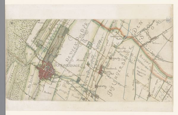
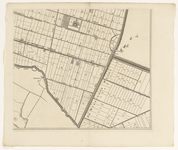
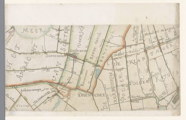
This is a section of a map of the Delfland region in the Netherlands, made by Floris Balthasarsz van Berckenrode around the turn of the 17th century. It's crafted from ink and watercolor on paper, and it shows us the area around the towns of Zevenhuizen and Bleiswijk. You can see how the materials influenced the appearance of the map. The fine lines of ink allow for precise details of waterways and land divisions, while the watercolor washes bring the landscape to life. The map involved skilled techniques of drafting, calligraphy, and painting, all essential to communicating information effectively. Consider the social significance of this kind of document. Land was wealth, and its careful management was crucial. Maps like these were tools of power, influencing land use, water control, and the economic life of the region. The amount of labor involved in surveying, drafting, and coloring such a map speaks to its value within the culture. By paying attention to these aspects of material, making, and context, we gain a deeper understanding of this artwork. It's not just a pretty picture, but a window into the world of early modern land management, and a challenge to our traditional notions of art versus craft.
Comments
No comments
Be the first to comment and join the conversation on the ultimate creative platform.