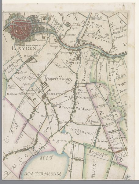
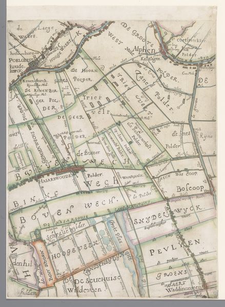
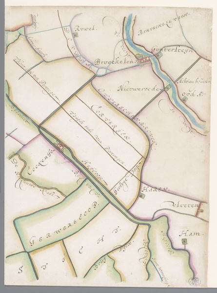
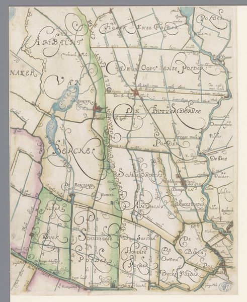
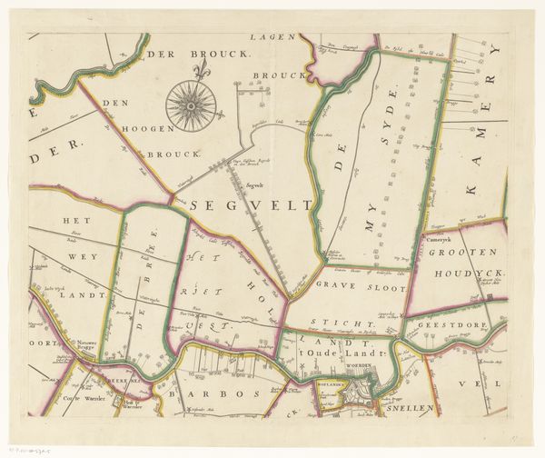
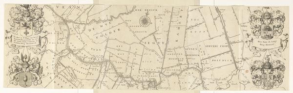
Deel van een kaart van het Hoogheemraadschap van Rijnland, met Woerden en omgeving 1615
0:00
0:00
florisbalthasarszvanberckenrode
Rijksmuseum
drawing, print, paper, ink
#
drawing
#
aged paper
#
narrative-art
# print
#
sketch book
#
hand drawn type
#
landscape
#
paper
#
personal sketchbook
#
ink
#
geometric
#
orientalism
#
ink colored
#
pen work
#
sketchbook drawing
#
cityscape
#
academic-art
#
sketchbook art
#
botanical art
#
regionalism
#
miniature
#
watercolor
Dimensions: height 364 mm, width 269 mm
Copyright: Rijks Museum: Open Domain
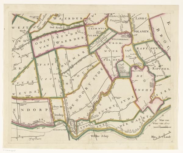
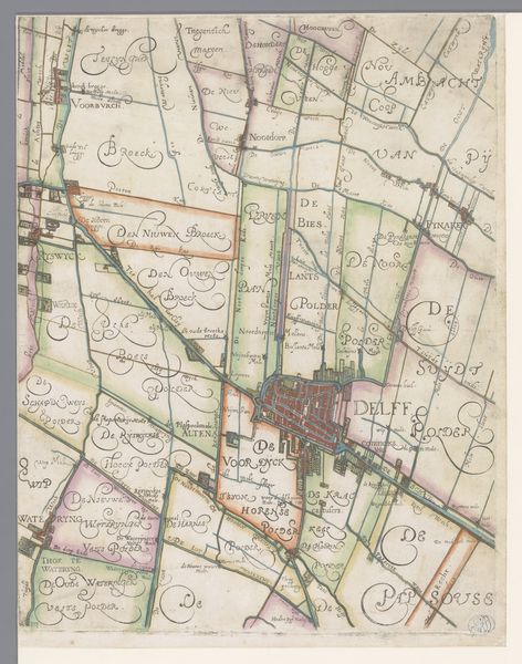
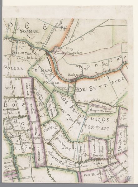
This is a section of a map of Rijnland, near Woerden, made by Floris Balthasarsz van Berckenrode. While seemingly just a geographical record, this map reflects the social and political landscape of the Netherlands around 1600. Maps were not neutral documents; they were tools of power. Berckenrode's map, commissioned by the Hoogheemraadschap, an early form of water board, highlights the controlled landscape of the region. The careful delineations of land parcels, waterways ("Vliet"), and administrative boundaries ("STICHT") underscore the Dutch Republic's obsession with land management and defence. Land reclamation was a major economic activity, with implications for social class, property ownership and political power. The detailed mapping of waterways, for example, shows us how the Dutch managed their water resources for trade, transportation, and defence. Studying maps like this one can help us understand the priorities of the institutions that commissioned them. They're a great example of how social and institutional contexts shaped the making of art in the early modern period.
Comments
No comments
Be the first to comment and join the conversation on the ultimate creative platform.
More like this