print, engraving
dutch-golden-age
landscape
geometric
engraving
Dimensions: height 322 mm, width 665 mm
Copyright: Rijks Museum: Open Domain
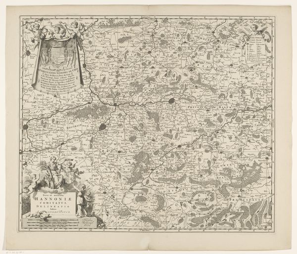
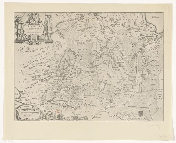
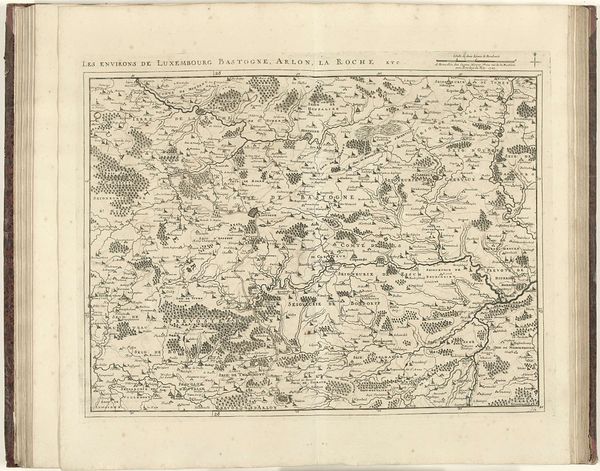
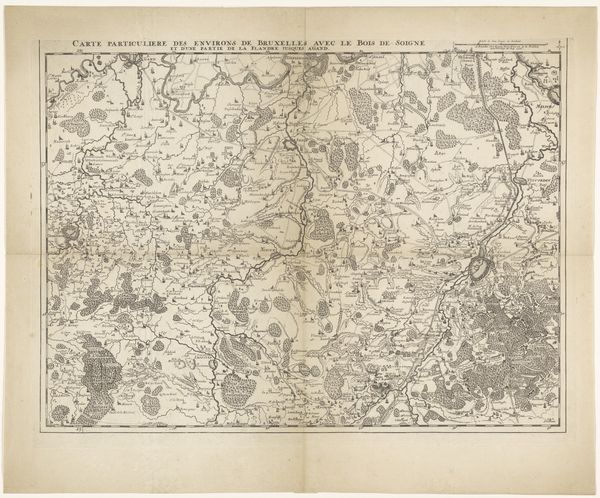
Editor: This is "Kaart van het gebied rond de Rijn," or "Map of the Area Around the Rhine," an engraving by Benjamin Wright, dating from around 1600 to 1630. The detail is incredible! But it's not just pretty, is it? What do you see in this piece, beyond the obvious geographical depiction? Curator: I see more than just a landscape. I see a projection of power and knowledge, strategically deployed. Maps of this era were tools for visualizing and solidifying control. Think about how cartography intertwines with colonialism and resource extraction. Editor: So, this isn’t just about showing what's there, but who *owns* what’s there? Curator: Exactly. The map is a statement of claim. The details, from the meticulously rendered towns to the river itself, become signifiers of possession. The geometric precision idealizes the region for efficient governance and economic exploitation, all under the guise of scientific accuracy. But what stories are erased in the pursuit of "accuracy?" Editor: I guess we wouldn’t see much about the lives of ordinary people living in those villages, would we? Curator: Precisely. It represents a top-down view, prioritizing the interests of those in power over the experiences of the marginalized. Consider how indigenous knowledges and local perspectives are often ignored or overwritten in such representations. The map flattens a complex reality. Do you agree? Editor: Definitely. I hadn’t thought of it like that – a deliberate act with social consequences. I'll never look at an old map the same way. Curator: The goal is to decode how seemingly objective depictions are inherently political. Always question the agenda behind the image. I’m glad we have made some new connections.
Comments
No comments
Be the first to comment and join the conversation on the ultimate creative platform.