drawing, print, ink, engraving
drawing
baroque
pen drawing
landscape
ink
linocut print
geometric
engraving
Dimensions: height 369 mm, width 478 mm
Copyright: Rijks Museum: Open Domain
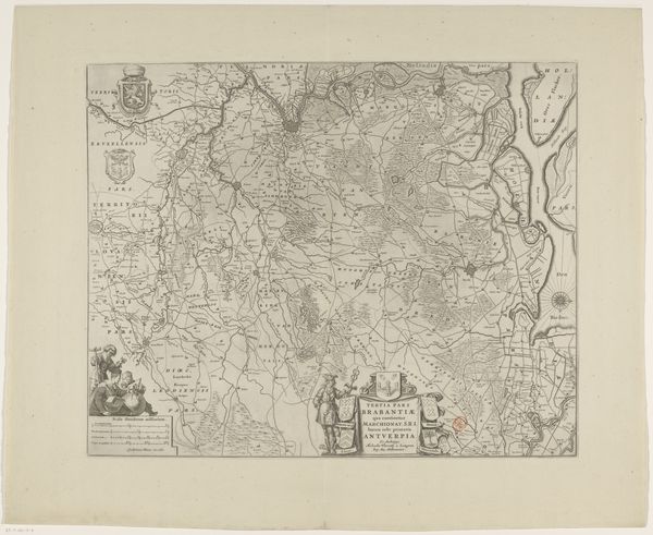
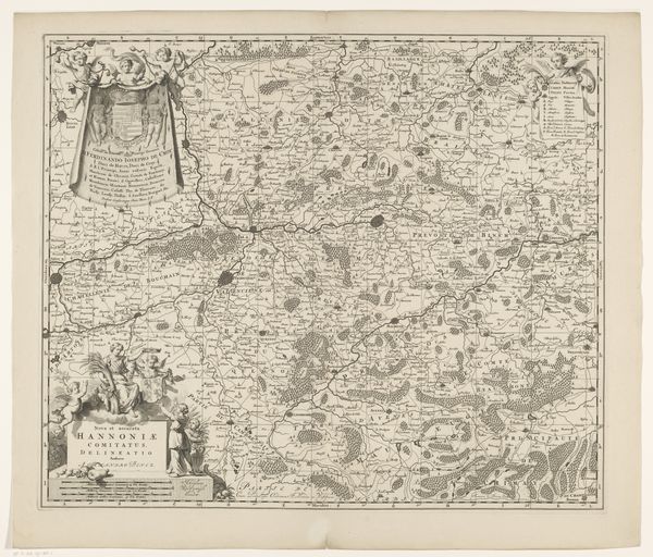
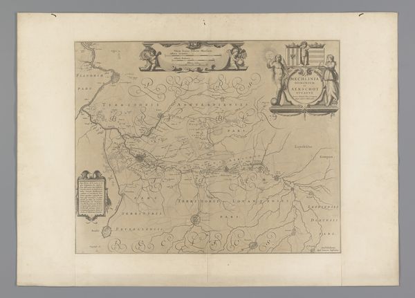
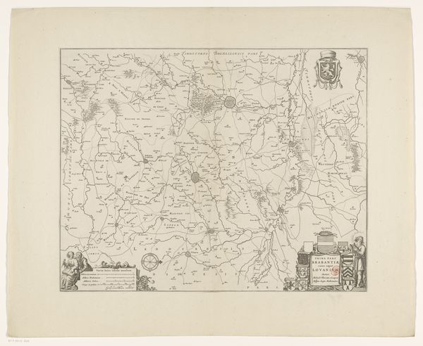
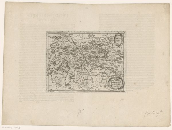
Editor: So, this is Pieter van der Keere's "Kaart van de provincie Utrecht," dating from 1616-1617. It’s a detailed map rendered in ink and engraving, housed here at the Rijksmuseum. It's incredible the level of detail someone could put into a drawing like this, centuries before any aerial views... What strikes you most about it? Curator: What immediately jumps out is how cartography during this period was far more than just geographic documentation. It was deeply intertwined with political power and self-representation. Editor: How so? Curator: Consider the inclusion of coats of arms, allegorical figures, and cityscapes. They weren’t merely decorative; they asserted the region’s identity and its relationship to broader powers. Who controlled the narrative and imagery about this territory? Whose values and power structures are amplified, and conversely, perhaps hidden from view? Editor: That's fascinating. I hadn’t thought about maps as active participants in power dynamics. Was Utrecht a particularly contested area at this time? Curator: Absolutely. The early 17th century was a period of significant political and religious upheaval in the Netherlands. These maps, commissioned by specific entities, served to stake claims and promote certain visions of regional order. The level of ornamentation itself implies importance, doesn’t it? Editor: It definitely reframes the map. What seems like objective geography is actually a carefully constructed statement. I'll never look at an old map the same way again! Curator: Exactly! Thinking about the socio-political context reveals that seemingly neutral images carry significant ideological weight. Hopefully now you have more appreciation for how maps serve political needs.
Comments
No comments
Be the first to comment and join the conversation on the ultimate creative platform.