print, engraving
dutch-golden-age
landscape
ink line art
engraving
Dimensions: height 381 mm, width 523 mm
Copyright: Rijks Museum: Open Domain
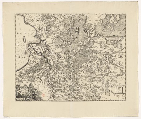
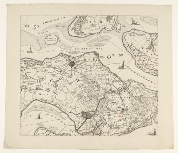
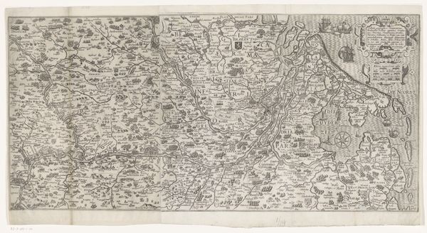
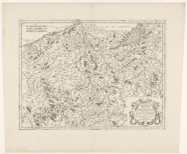
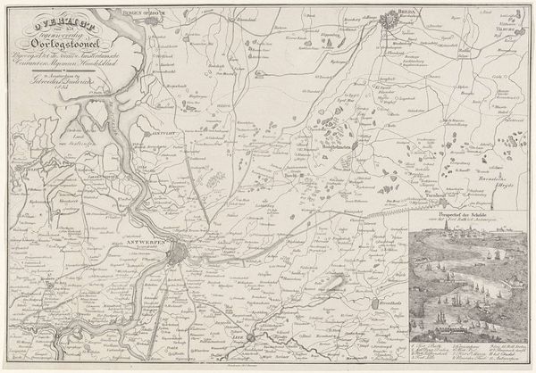
This undated map of Drenthe was likely created in the Netherlands as a means of communicating geographic knowledge and political power. Maps like this one are never neutral documents. They reflect cultural values and political interests. Consider how the map emphasizes settlements, potentially reflecting the interests of landowners or administrators. Note the inclusion of heraldic symbols and armed figures. What does this tell us about the values of those who commissioned and used such images? The careful rendering of topography and waterways suggests a practical interest in navigation, trade, or military strategy. It also seems to celebrate the region. To truly understand this map, we would need to research the history of cartography, Dutch society, and regional administration. By exploring archives and libraries, we can learn more about how images like this were made, circulated, and used, and how they helped shape social relations and political power.
Comments
No comments
Be the first to comment and join the conversation on the ultimate creative platform.