About this artwork
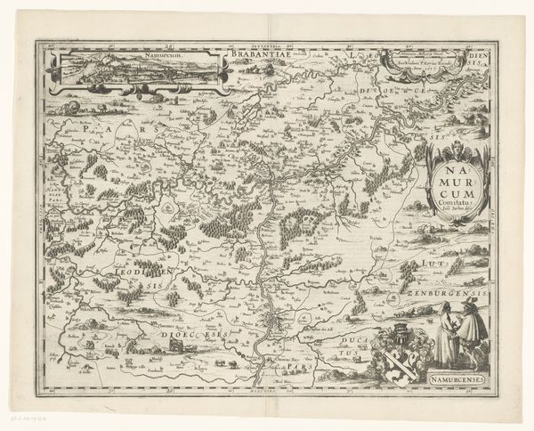
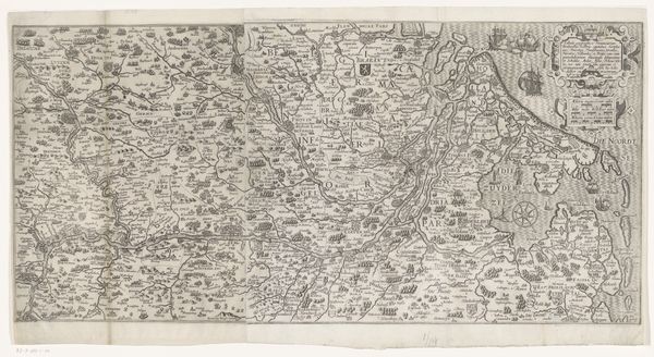
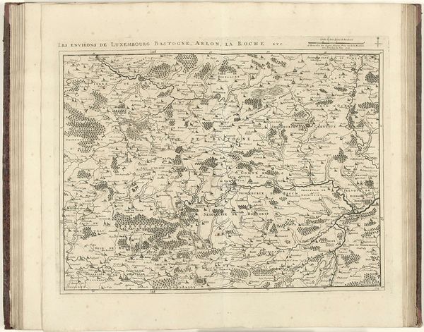
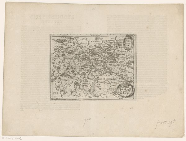
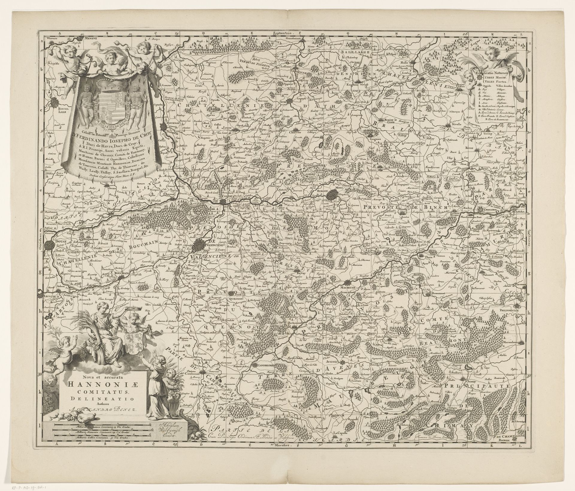
Curator: What an intricate piece! Editor: Yes, this is "Kaart van Henegouwen," a map of Hainaut made between 1675 and 1694 by Johannes de Broen, created using engraving. It’s fascinating how detailed it is. What stands out to you when you look at this? Curator: I immediately see the means of production so clearly. Look at the even, mechanically-produced lines, suggesting a sophisticated printing workshop, where the labour of many engravers would have been required. Each mark on this paper embodies not just geographical data but a social network of artisans and their specialized skills, all mediated through technology. Consider the economics—who commissioned it and who was the intended consumer? Editor: That’s a perspective I hadn’t considered. I was thinking more about the aesthetics and how well the map is drawn. Who would even be able to use such a fancy thing back then? Curator: Maps like these weren’t merely functional items for travelers, although it has practical application, it’s more about who it serves, and what socio-political end the application has. They asserted control, mapped out ownership and thus represented power, designed to impress patrons and demonstrate authority. Consider how access to this 'data' reflected, and further cemented, societal structures. How was 'Henegouwen' and its population used as resources? Editor: So you’re saying that the real value lies not just in representing terrain, but the systems of power and material resources inherent in making such an artifact? Curator: Precisely! And how its production impacted the engravers. Looking at a map, we are often too busy to ask, where are the hands in this making and why? Editor: That gives me a whole new lens for viewing historical artifacts. I'll start thinking about who was exploited in this creation, from the geography up to the workshop level! Curator: Excellent. Analyzing this map reminds us that art is not solely an aesthetic or informational object, but also a complex result of labor, capital, and social forces at work.
Artwork details
- Medium
- print, engraving
- Dimensions
- height 503 mm, width 595 mm
- Copyright
- Rijks Museum: Open Domain
Tags
baroque
pen drawing
mechanical pen drawing
geometric
engraving
Comments
No comments
About this artwork
Curator: What an intricate piece! Editor: Yes, this is "Kaart van Henegouwen," a map of Hainaut made between 1675 and 1694 by Johannes de Broen, created using engraving. It’s fascinating how detailed it is. What stands out to you when you look at this? Curator: I immediately see the means of production so clearly. Look at the even, mechanically-produced lines, suggesting a sophisticated printing workshop, where the labour of many engravers would have been required. Each mark on this paper embodies not just geographical data but a social network of artisans and their specialized skills, all mediated through technology. Consider the economics—who commissioned it and who was the intended consumer? Editor: That’s a perspective I hadn’t considered. I was thinking more about the aesthetics and how well the map is drawn. Who would even be able to use such a fancy thing back then? Curator: Maps like these weren’t merely functional items for travelers, although it has practical application, it’s more about who it serves, and what socio-political end the application has. They asserted control, mapped out ownership and thus represented power, designed to impress patrons and demonstrate authority. Consider how access to this 'data' reflected, and further cemented, societal structures. How was 'Henegouwen' and its population used as resources? Editor: So you’re saying that the real value lies not just in representing terrain, but the systems of power and material resources inherent in making such an artifact? Curator: Precisely! And how its production impacted the engravers. Looking at a map, we are often too busy to ask, where are the hands in this making and why? Editor: That gives me a whole new lens for viewing historical artifacts. I'll start thinking about who was exploited in this creation, from the geography up to the workshop level! Curator: Excellent. Analyzing this map reminds us that art is not solely an aesthetic or informational object, but also a complex result of labor, capital, and social forces at work.
Comments
No comments