print, ink, engraving
#
baroque
# print
#
landscape
#
ink
#
engraving
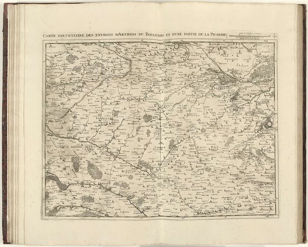
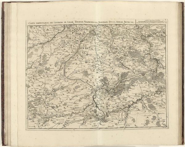
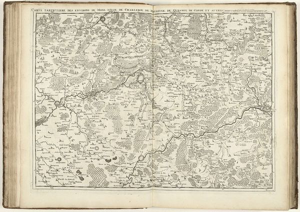
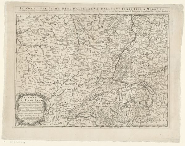
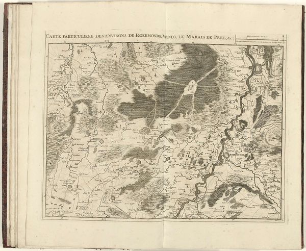
Dimensions: height 448 mm, width 570 mm
Copyright: Rijks Museum: Open Domain
Jacobus Harrewijn made this map of Luxembourg in 1727 using etching. But this isn’t just about geography; it’s a snapshot of power, politics, and the social order of the early 18th century. Harrewijn's map is more than just lines on paper. Visual codes represent forests and waterways, offering a sense of place, and a claim to territory. Luxembourg, located between France and Germanic territories, was of strategic importance during this period, often contested by powerful European dynasties. As such, this map would likely be seen as a tool of governance, useful for military strategy, economic planning, and the consolidation of control. Historians can consult period archives, military records, and economic reports to reveal the specific historical conditions and conflicts represented. Maps like these provide a window into a society's ambitions, anxieties, and its relationship to the land itself.
Comments
No comments
Be the first to comment and join the conversation on the ultimate creative platform.
More like this