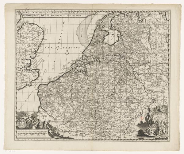
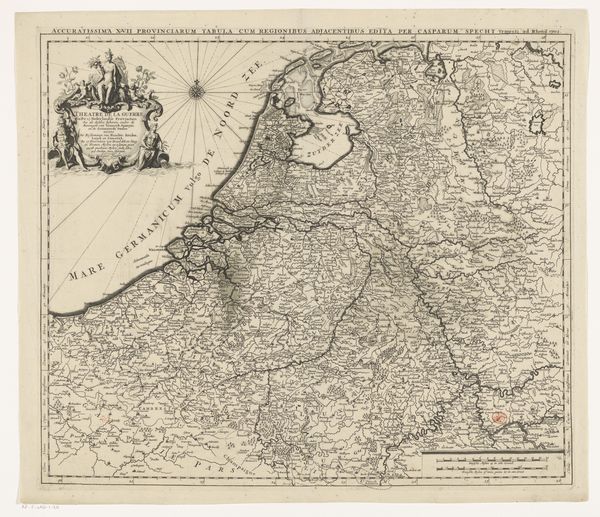
Historische kaart van Nederland met de gebieden van de Bataven en Friezen 1697 - 1725
0:00
0:00
drawing, print, ink
#
drawing
#
dutch-golden-age
# print
#
ink
#
geometric
#
14_17th-century
#
history-painting
Dimensions: height 317 mm, width 420 mm
Copyright: Rijks Museum: Open Domain
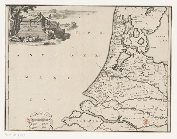
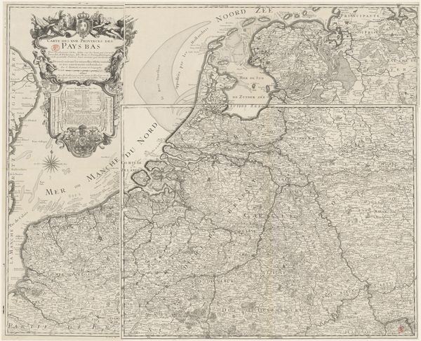
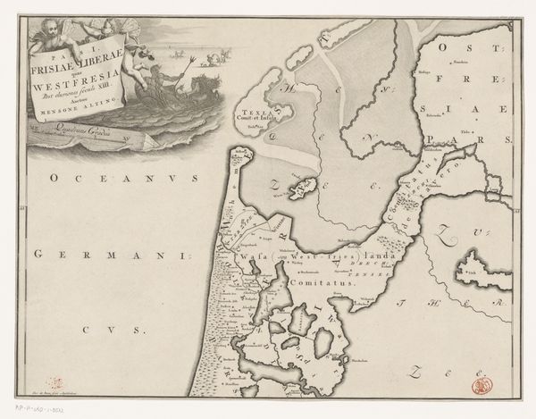
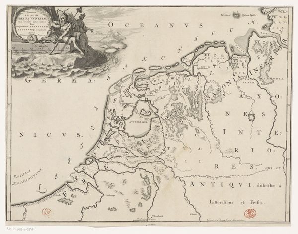
Editor: It has a melancholic feel, doesn't it? The monochrome palette, the stark lines... a contemplative silence emanates from it. Curator: Indeed. What you're sensing might stem from the historical gravity imbued in this piece: "Historische kaart van Nederland met de gebieden van de Bataven en Friezen," or Historical Map of the Netherlands with the lands of the Batavians and Frisians. The drawing, realized with ink, comes from the period between 1697 and 1725 and it offers an interesting vision of the Dutch Golden Age’s geographical imagination. Editor: Golden Age geographical imagination… How were maps employed as tools to establish power structures or negotiate colonial narratives during this period? Also, is the notion of a 'historical map' not an oxymoron, considering that maps inevitably reflect a particular, time-bound understanding of geography? Curator: Precisely. Maps served as instruments of territorial claims and national identity consolidation, their production closely tied to advancements in printing technology and the expanding Dutch mercantile empire. It prompts us to think about the cartographer, Gerrit de Broen, and his labor within a complex web of materials and patrons shaping his production, alongside its reception. Editor: The inclusion of the Batavians and Frisians interests me; their depiction points towards a construction of Dutch identity through a connection with an imagined, heroic past. Who had access to these prints and what kind of ideological messages did they convey? Curator: These prints would have circulated among educated elites, merchants, and administrators—those involved in shaping the burgeoning Dutch state. By invoking the Batavians and Frisians, seen as ancestors who resisted Roman rule, the map subtly reinforced ideas of Dutch independence and a legacy of freedom. Editor: I'm curious to know about the level of artistry involved; was this a purely functional artifact or seen as something more? What was Gerrit de Broen's role, purely a craftsman or did he hold more agency? Curator: The precision of the linework, the decorative cartouche... these elements suggest artistic value was placed on cartography beyond pure functionality. Gerrit de Broen would have been more than just a craftsman, participating actively in shaping how people perceived their world and their history through such details. Editor: Thank you, considering the layers embedded within a seemingly straightforward map has genuinely broadened my perspective. Curator: Agreed, revisiting such historical artifacts through these different lenses truly enriches our understanding of not just the past but our present.
Comments
No comments
Be the first to comment and join the conversation on the ultimate creative platform.
More like this