drawing, print, ink
#
drawing
# print
#
landscape
#
ink
Dimensions: height 344 mm, width 511 mm
Copyright: Rijks Museum: Open Domain
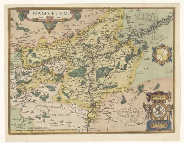
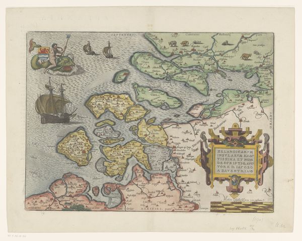
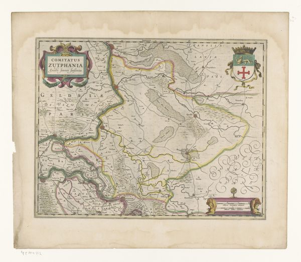
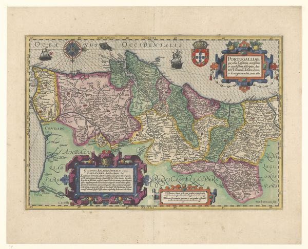
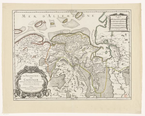
Editor: Here we have an early map, "Kaart van Friesland, Groningen, Drenthe en Oost-Friesland," made around 1570, through drawing and printmaking in ink. What immediately strikes me is the almost dreamlike quality of the landscape. The colors and textures feel very stylized. What stands out to you in this piece? Curator: The abstraction you perceive is, I think, essential. Disregarding the representational aspect of the map – its purported function – we can appreciate the formal interplay of lines, shapes, and colors. Note how the coastline is not just a line, but an articulation of space, almost an aesthetic rhythm of the positive and negative areas within the picture plane. Editor: The coloring definitely seems more about design than realism. Curator: Precisely. Observe the chromatic scheme. Notice the deployment of yellows, greens, and pinks, not necessarily mirroring the actual land, but serving to divide the pictorial space into distinct zones, a segmentation crucial to the overall compositional balance. Also, reflect on the significance of cartouches in early maps. What compositional elements do you notice within these embellishments? Editor: Well, the cartouche certainly anchors the bottom right of the image, and adds weight to balance out the landmasses above. I can also see how the font and layout provide an intriguing contrast between geometric versus organic elements. It really adds layers of texture and pattern that draws my eyes. Curator: An astute observation. It appears we have both expanded our understanding of the work through the semiotic interplay between form and function.
Comments
No comments
Be the first to comment and join the conversation on the ultimate creative platform.
More like this