print, engraving
# print
#
old engraving style
#
landscape
#
northern-renaissance
#
engraving
Dimensions: height 392 mm, width 514 mm
Copyright: Rijks Museum: Open Domain
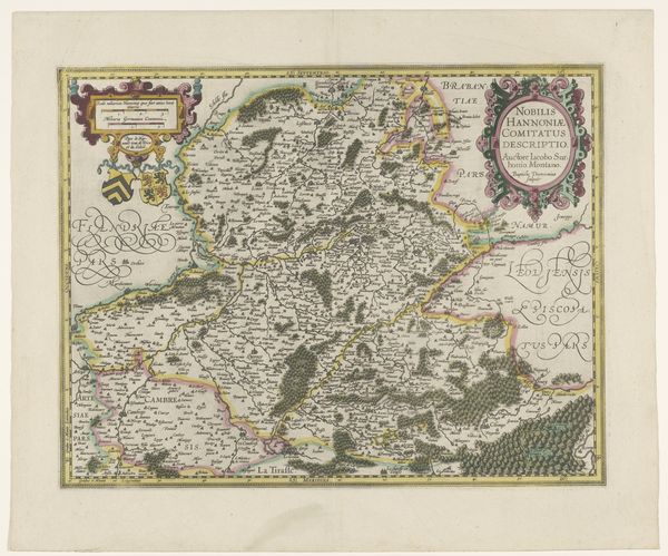
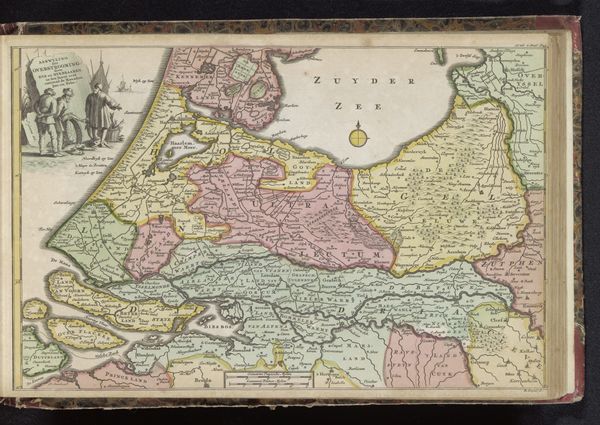
Curator: Let’s discuss this print, "Kaart van het graafschap Namen," made in 1592. It's a detailed map of the County of Namur. Editor: It really is detailed! The lettering is so precise and tiny. The landscape feels almost dreamlike because of its colors. I'm curious, what elements really stand out to you in this piece? Curator: I see the etching process as pivotal. The very act of producing multiple prints meant disseminating knowledge and power. Before, cartography was largely bespoke. Who did it serve, and what was the labour of creating such an item? Consider how the copper plate was manufactured, who etched the lines, and who printed and sold it. Editor: That's fascinating. I hadn't really considered the labor behind making a map! How would you connect the printmaking materials to larger historical contexts? Curator: Well, think of the consumption. Maps were crucial tools of governance, property ownership, and war. This "Kaart van het graafschap Namen" aided administration and projected ducal power. The copper, ink, and paper become implicated in structures of political power of the period. Also, note the skill of labor involved: It required specialized training and equipment to create. What social class would purchase this sort of item, I wonder? Editor: That's a really different perspective than just viewing it as a pretty map. Thanks for showing me the socio-economic view behind this engraving; I've gained a lot from our discussion! Curator: And I found it insightful to consider the visual appeal that maps hold. It’s important not to dismiss it, after all, that visual quality also drove sales and distribution, fueling demand and solidifying its economic and cultural value.
Comments
No comments
Be the first to comment and join the conversation on the ultimate creative platform.
More like this