graphic-art, print, etching, engraving
#
graphic-art
#
baroque
# print
#
etching
#
cityscape
#
engraving
Dimensions: height 506 mm, width 599 mm
Copyright: Rijks Museum: Open Domain
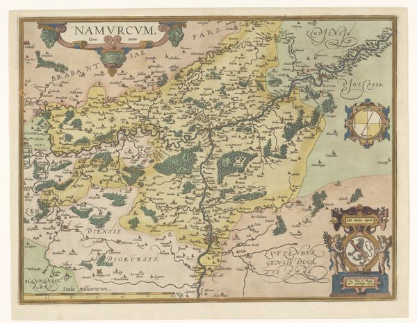
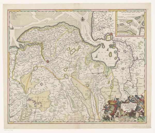
Curator: Oh, it's beautiful. The level of detail makes you feel like you are looking at the land from above. There's something about the pastels that almost make it feel like an otherworldly garden. Editor: Indeed, and what you're describing is exactly what makes "Kaart van Henegouwen"—"Map of Hainaut" in English—so compelling. Attributed to Johannes de Broen, this graphic work, likely created between 1675 and 1794, uses etching and engraving to map out a specific territory with elaborate baroque aesthetics. Curator: It really does romanticize the land; you can feel this sense of exploration and almost a possessiveness of it through its aesthetic ornamentation. But look closer, is this "accurate?" What's your perspective here? Editor: Well, that romantic vision you describe comes at a price. Maps like these were instruments of power, demarcating territories not for geographical understanding, but for administrative control and the solidification of political claims. Curator: I feel that tension. It reminds me of flipping through old atlases as a child, dreaming of adventures but also realizing that those very pages represented someone's ownership, that this "adventure" came at a colonial cost. The imagery dances around it with putti cherubs! Editor: Exactly! And if we look closely, it does so unapologetically. These embellishments aren't innocent—they're reinforcing the narrative of the powerful. Even the inclusion of cityscapes hints at the socio-political landscapes being mapped. It highlights specific urban centers. Curator: So, the real treasure isn’t so much the geographic data, but insight to power structures of the era. Who claimed what, who controlled it, and how it all visually played out. Even a simple map like this carries stories, histories. Editor: Precisely, and I find that duality fascinating. This "Map of Hainaut," therefore, functions both as an artifact and a mirror reflecting complex historical power dynamics. Curator: Now, I cannot see old maps without thinking of all these forgotten kingdoms that were mapped. It adds a tinge of wistful sadness. All these places are just fading memories—all their own triumphs, follies, everything is etched lightly, waiting to disappear with us. Editor: An elegy made manifest, indeed. A reminder of temporal shifts as our present shifts and morphs, carrying on these stories for centuries to come.
Comments
No comments
Be the first to comment and join the conversation on the ultimate creative platform.
More like this