drawing, print, paper, ink
#
drawing
#
baroque
# print
#
paper
#
personal sketchbook
#
ink
#
coloured pencil
#
sketchbook drawing
#
watercolour illustration
#
history-painting
#
academic-art
#
decorative-art
Dimensions: height 149 mm, width 210 mm
Copyright: Rijks Museum: Open Domain
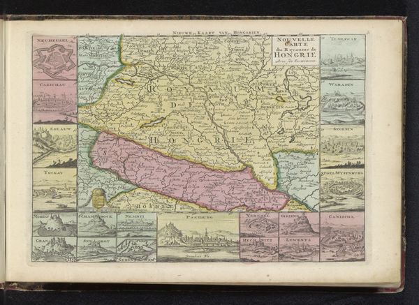
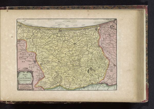
This is an anonymous map of Poland, presenting the region with its frontiers. Notice the prominent display of heraldic symbols framing the main map; these are not merely decorative. Each coat of arms is a visual shorthand representing the territories, noble families, or historical entities within and surrounding Poland. Such symbols, deeply rooted in medieval traditions, served as potent markers of identity and allegiance. Consider the lion rampant, a symbol of courage and nobility, or the eagle, often associated with imperial power. These motifs are cultural carriers, their meanings evolving and adapting across centuries. Their appearance here ties this geographical representation to a broader historical narrative. Think of the endurance of symbols: how the eagle, for instance, has morphed from Roman imperial standard to national emblem in various guises. The continuous process of remembering, reinterpreting, and transmitting symbols speaks to our deep, collective psyche, shaping how we perceive power, identity, and place. This map is not just ink on paper, but a palimpsest of history, memory, and meaning.
Comments
No comments
Be the first to comment and join the conversation on the ultimate creative platform.
More like this