print, etching
#
dutch-golden-age
# print
#
etching
#
landscape
#
etching
#
geometric
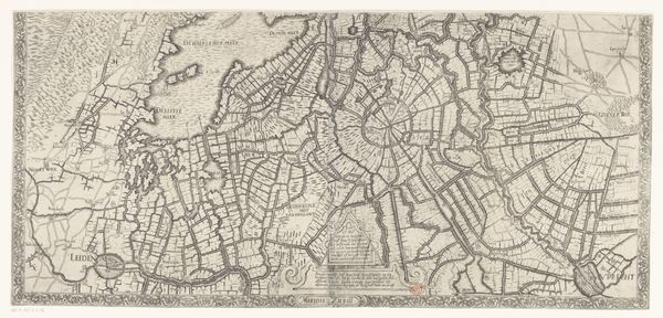
Dimensions: height 401 mm, width 299 mm
Copyright: Rijks Museum: Open Domain
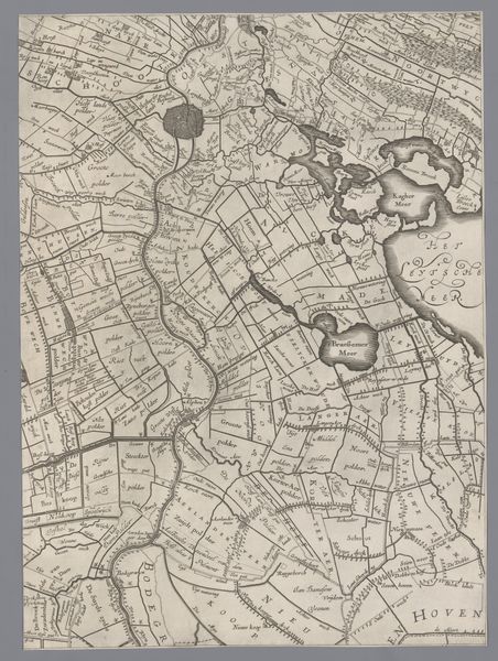
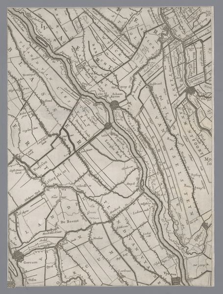
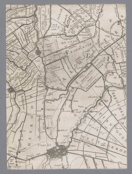
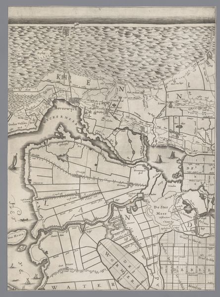
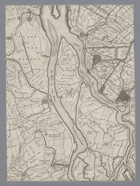
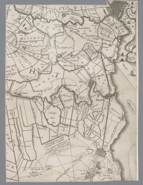
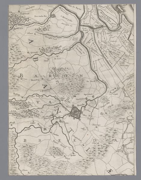
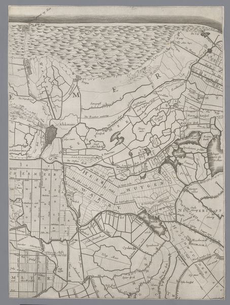
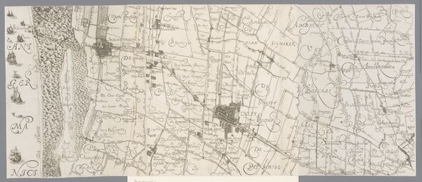
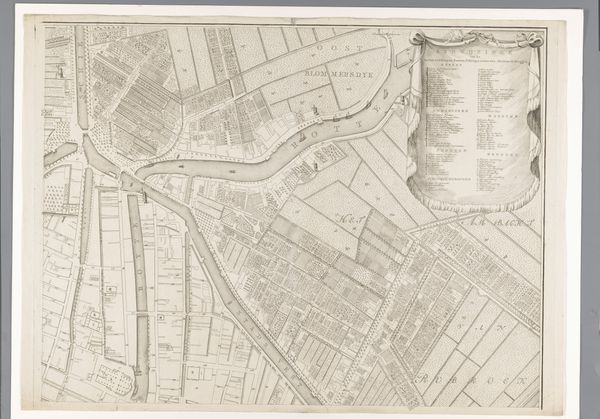
This is Jacob Aertsz. Colom's map of Holland and Utrecht, created during the Dutch Golden Age, a period of immense economic and cultural growth for the Netherlands. Maps like this weren’t just about geography; they were statements of power and identity. Colom’s map highlights the intricate relationship between the Dutch and their landscape. Notice how the land is meticulously divided, reflecting the Dutch mastery of water management through the polder system. But consider the labor required to maintain this landscape. The creation of polders often relied on the labor of the working class and farmers, whose lives were deeply connected to the land. Colom’s map then invites us to reflect on the complex interplay between human intervention, economic prosperity, and the often-unseen labor that shaped the Dutch landscape and identity. It encourages us to consider whose stories are told, and whose are left out.
Comments
No comments
Be the first to comment and join the conversation on the ultimate creative platform.
More like this