print, engraving
#
architectural sketch
#
aged paper
#
dutch-golden-age
# print
#
landscape
#
paper texture
#
geometric
#
engraving
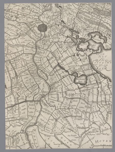
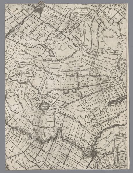
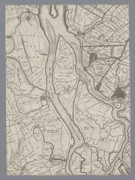
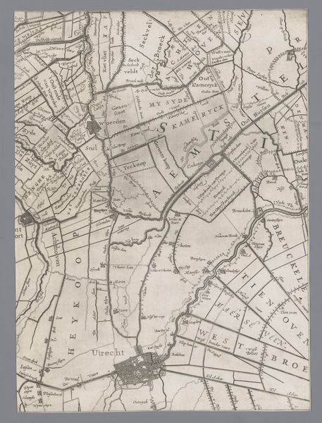
Dimensions: height 407 mm, width 301 mm
Copyright: Rijks Museum: Open Domain
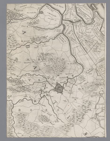
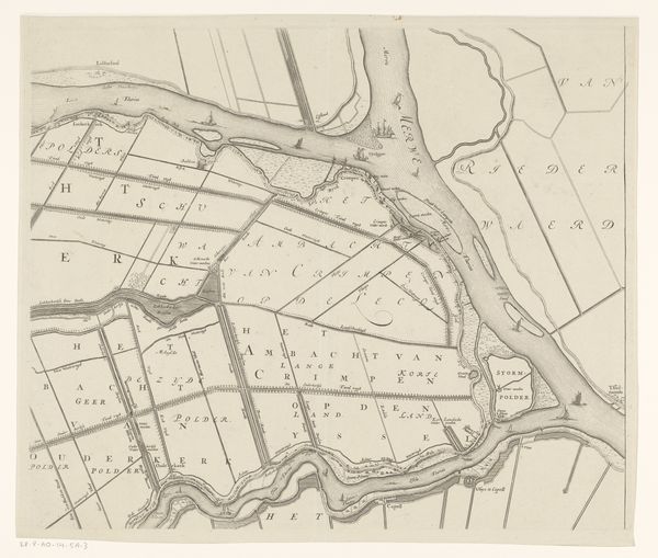
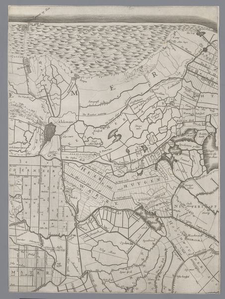
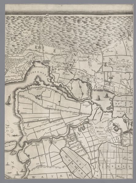
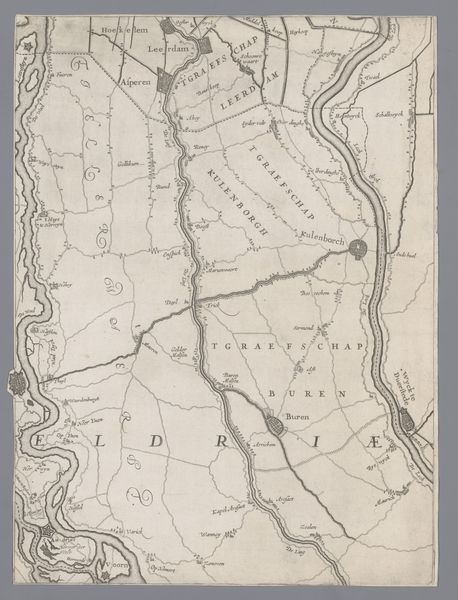
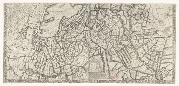
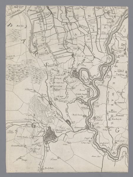
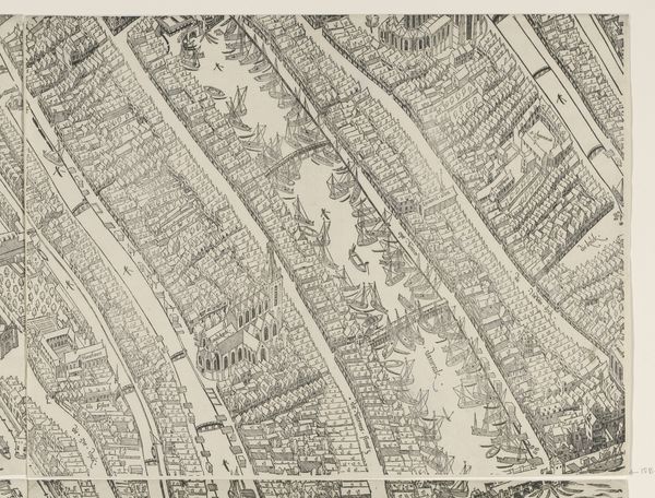
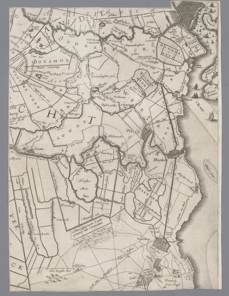
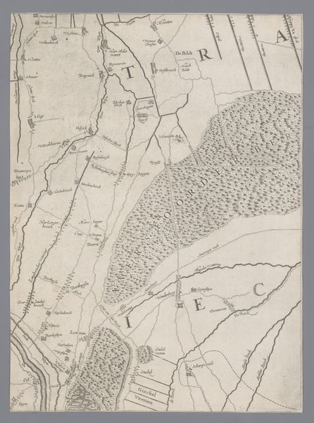
Jacob Aertsz Colom created this map of Holland and Utrecht, dating back to the 17th century, using engraving techniques to meticulously capture the region's topography. A network of fine lines articulates the landscape, detailing waterways and land divisions. The density and directionality of these lines create textures which give form to fields and waterways. Observe how Colom uses these lines to denote not just physical boundaries, but also to impart a sense of depth and scale. The deliberate arrangement of the elements – the rivers winding as structural axes, the measured fields with their distinct boundaries - suggests a controlled, cultivated world. The lettering, carefully placed, anchors the map, giving us points of reference. This map isn't just a geographical document; it's a structured representation of human intervention on the landscape. The linear precision speaks to a larger cultural impulse to organize, categorize, and understand the world through rational means. The interplay of lines and text invites us to decode the map's semiotic system, revealing layers of historical and cultural significance beyond its immediate cartographic function.
Comments
No comments
Be the first to comment and join the conversation on the ultimate creative platform.
More like this