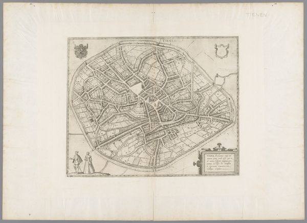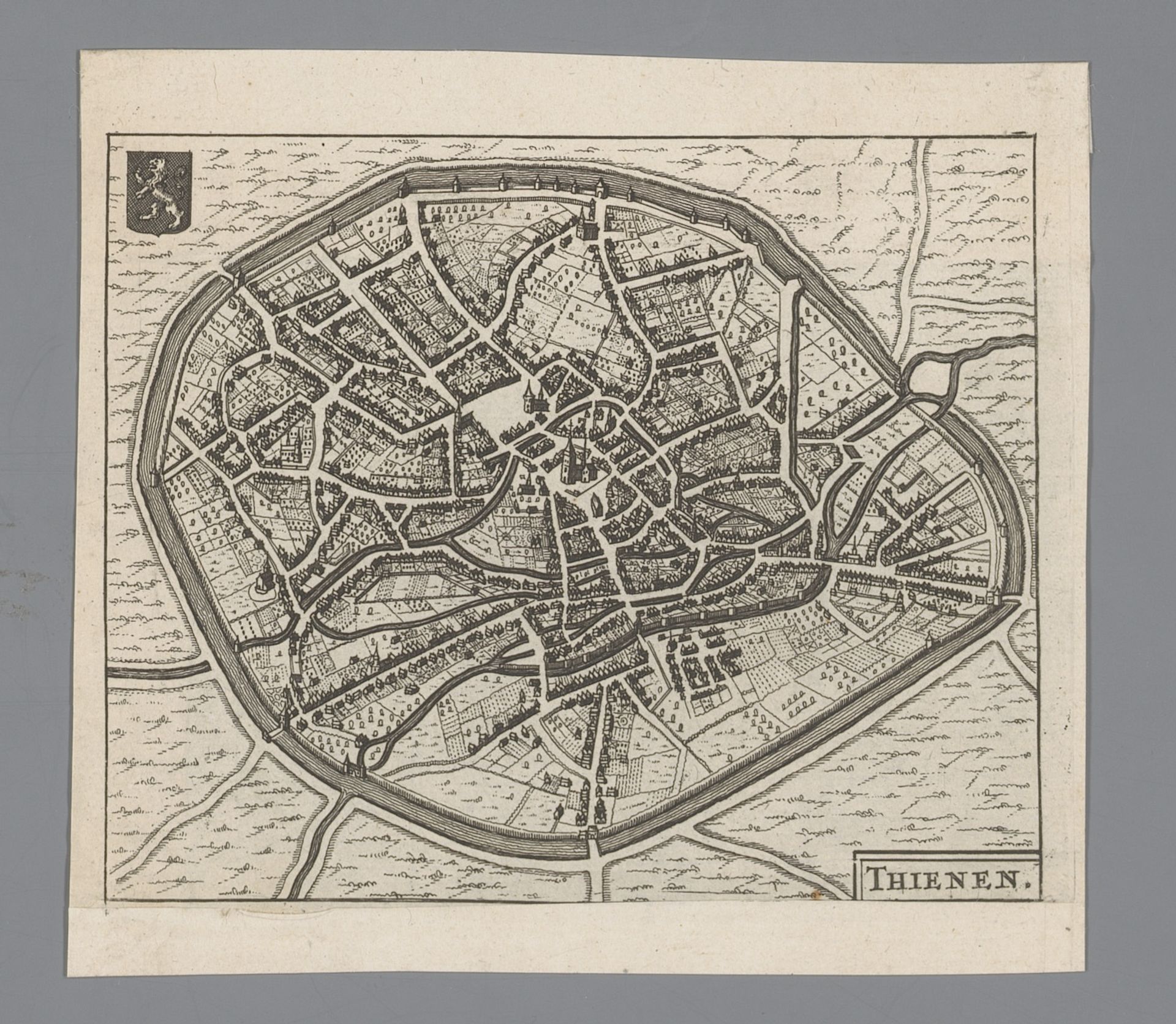
1660
Plattegrond van Tienen
Anonymous
@anonymousLocation
RijksmuseumListen to curator's interpretation
Curatorial notes
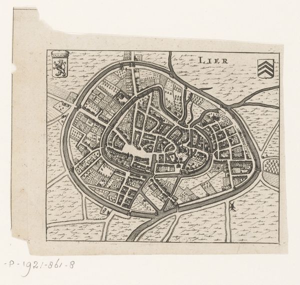
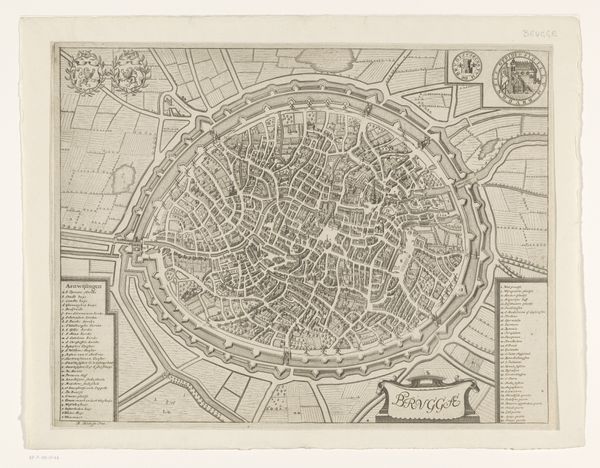
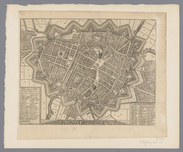
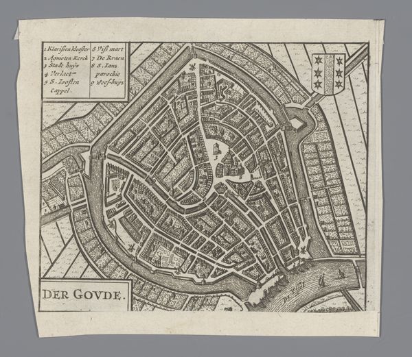
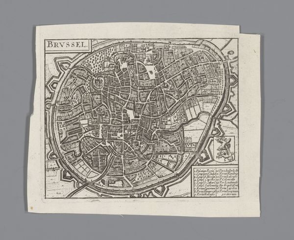
This is an unauthored map of Tienen. Note the city walls encircling the town, a symbol of protection and order. Walls such as these are ubiquitous in early city maps from antiquity to the Renaissance. Now, let's turn our gaze to the heraldic shield in the upper left. This emblem, bearing a lion, signifies strength and valor—a visual language rooted in medieval heraldry and the ethos of power. Such emblems are not confined to mere documents. They recur on buildings, flags, and countless works of art across Europe, acting as a constant reminder of authority. Consider the emotional impact of these recurring symbols. The shield, like a family crest, evokes a sense of belonging and pride. These psychological ties engage viewers on a subconscious level, perpetuating the cultural memory embedded in visual symbols. The lion on the shield, as a symbol, did not remain static. Throughout history, it evolved, taking on new meanings and associations. It's a testament to the non-linear, cyclical progression of symbols, continually resurfacing and adapting in different historical contexts.