#
architectural sketch
#
architectural diagram
#
architectural plan
#
architectural design
#
architectural form
#
architectural section drawing
#
architectural drawing
#
architecture drawing
#
architectural proposal
#
structured
Dimensions: height 658 mm, width 870 mm
Copyright: Rijks Museum: Open Domain
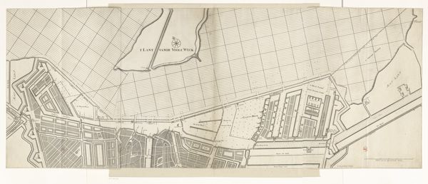
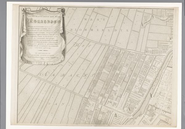
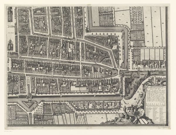
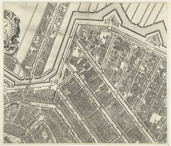
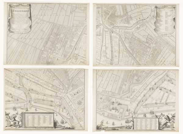
This section of a Rotterdam map was made by Cornelis van Baarsel, who lived in the late 18th and early 19th centuries. Though undated, the print gives us a snapshot of the city during the artist's lifetime. Engraving is a precise process, demanding the careful use of sharp tools to incise lines into a metal plate. The matrix is then inked, and the image transferred to paper. The crispness of the lines here speaks to Van Baarsel’s technical skill. But beyond technique, this map reveals a lot about Rotterdam at the time. Each building, canal, and plot of land is rendered with such care, testament to the city's growing commercial importance. The meticulous detail suggests a society intent on cataloging and controlling its environment. This wasn't just a map, it was a tool of governance. Looking closely, you can almost feel the pulse of a city on the rise, a place where every square inch had potential value. Appreciating the material and making of this print allows us to see it not just as a document, but as a artifact embedded with social meaning.
Comments
No comments
Be the first to comment and join the conversation on the ultimate creative platform.
More like this