graphic-art, print, etching, ink, engraving
#
graphic-art
#
dutch-golden-age
# print
#
etching
#
landscape
#
ink
#
linocut print
#
geometric
#
cityscape
#
engraving
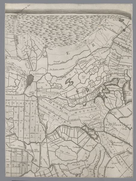
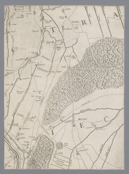
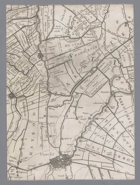
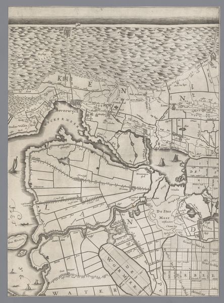
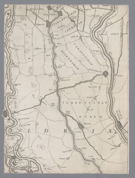
Dimensions: height 410 mm, width 302 mm
Copyright: Rijks Museum: Open Domain
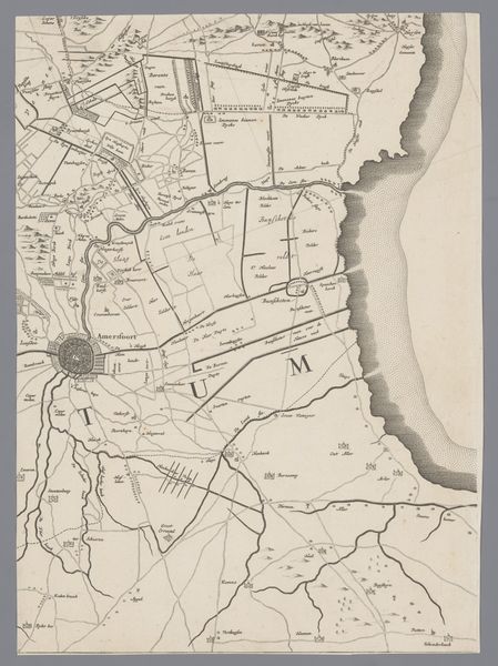
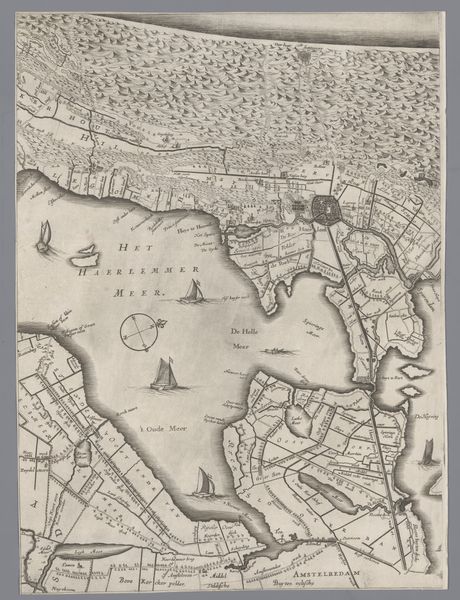
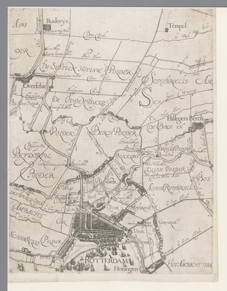
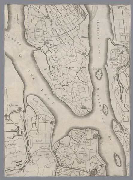
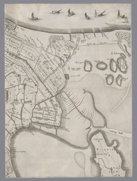
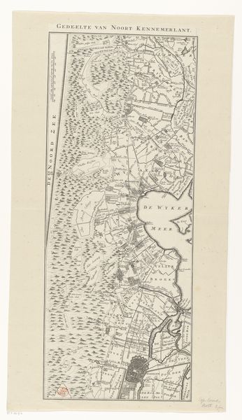
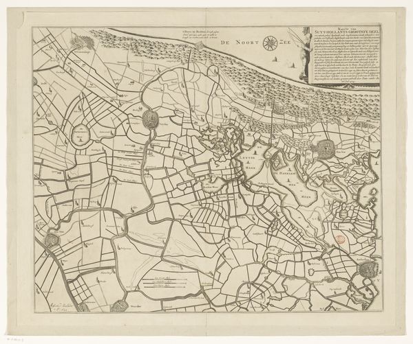
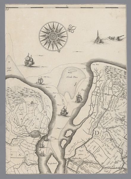
Jacob Aertsz Colom created this map of Holland and Utrecht, the Netherlands, sometime between 1599 and 1673, using engraving. Such maps were of vital importance to the Dutch Republic. They gave the Dutch a sense of identity and history during their revolt against Spanish rule, and were tools of governance and defense. Note how the landscape itself has been thoroughly transformed by human artifice: its canals, dikes, and polders were crucial for land reclamation, water management, and transportation. Mapmakers were key cultural and institutional figures. Colom for instance, was a cartographer, publisher, and bookseller, embedded in the economic structures of his time. Maps like this one, therefore, are not neutral representations of space but articulations of power. Looking closely, we can learn much more about the economic, social, and political history of the Netherlands, and compare this vision of the land with the complex reality of lived experience.
Comments
No comments
Be the first to comment and join the conversation on the ultimate creative platform.
More like this