print, etching, engraving
#
dutch-golden-age
# print
#
etching
#
landscape
#
etching
#
geometric
#
cityscape
#
engraving
Dimensions: height 405 mm, width 295 mm
Copyright: Rijks Museum: Open Domain
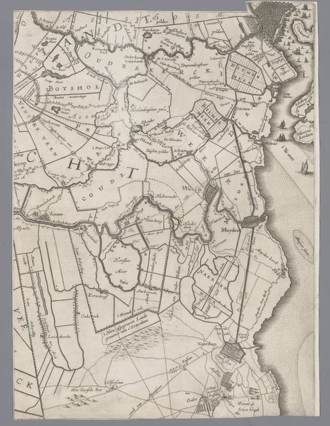
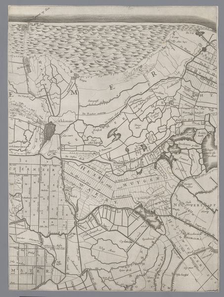
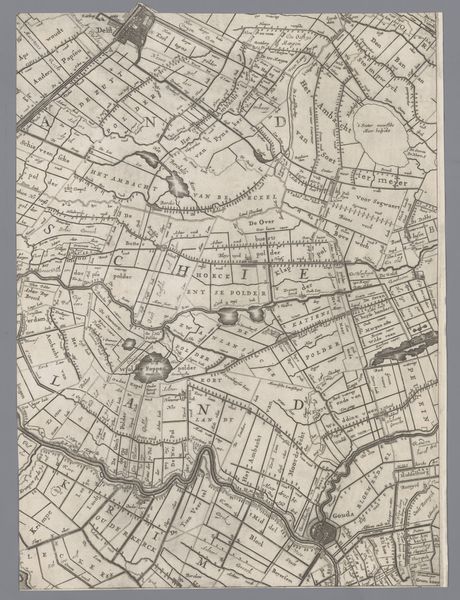
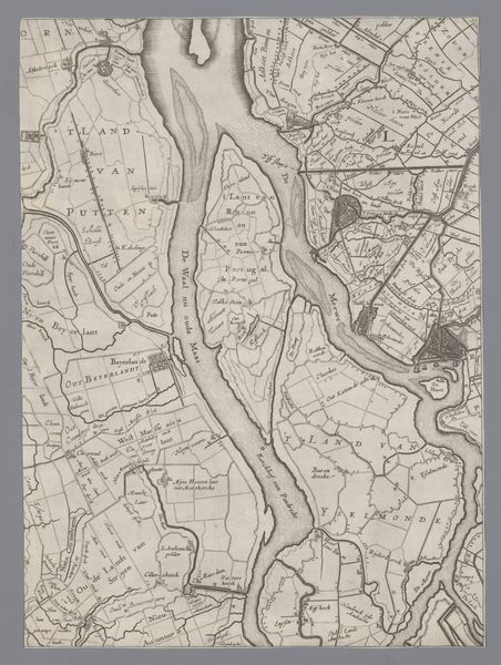
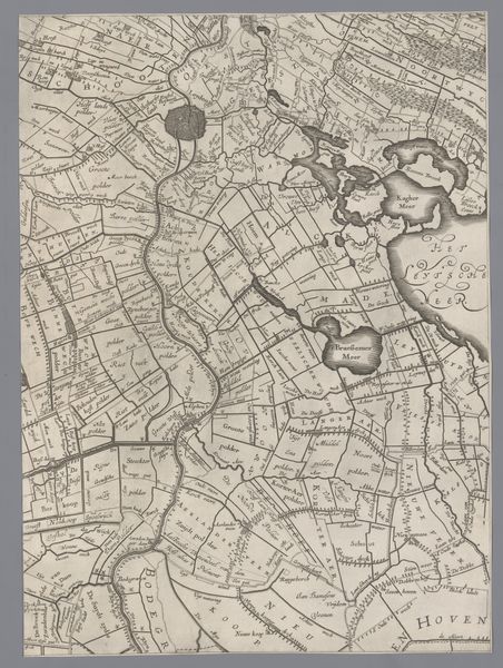
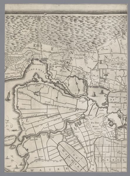
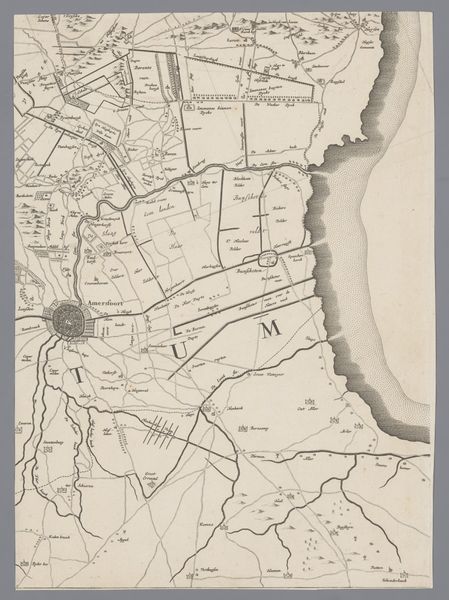
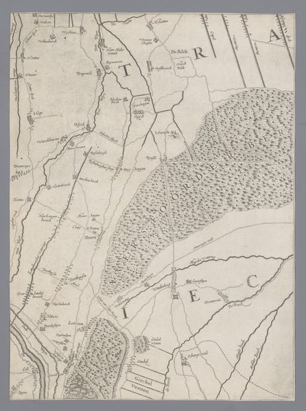
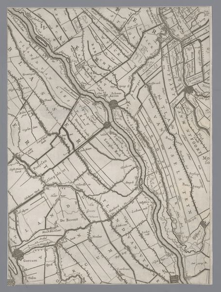
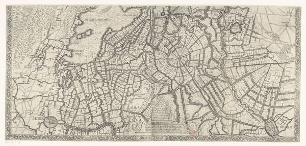
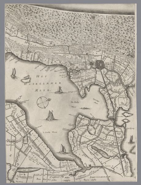
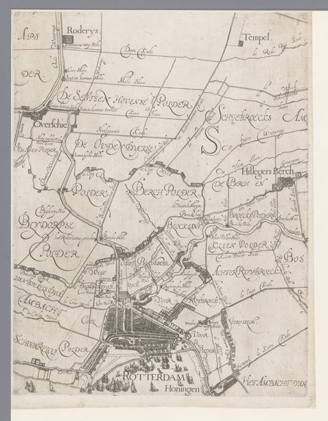
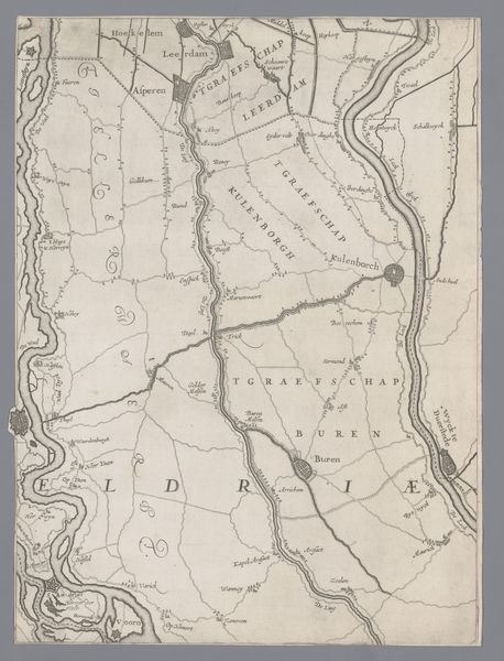
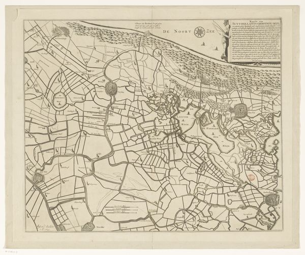
This map of Holland and Utrecht was made by Jacob Aertsz Colom, probably in the mid-17th century. It offers insights into the ambitions of the Dutch Republic, a rising power in this period. Cartography in the 17th century wasn't just about geography. It was deeply enmeshed with commerce and politics. The detailed rendering of land divisions, waterways, and settlements speaks to the Dutch Republic’s booming trade networks and its sophisticated systems of governance. The map is a visual assertion of control, reflecting the Republic’s efforts to manage and exploit its resources. We see the Republic’s self-image as an ordered, prosperous, and expanding territory. To fully grasp its significance, one might look at the records of the Dutch East India Company or consult period gazetteers and administrative documents. The map also begs the question, whose perspective does it represent?
Comments
No comments
Be the first to comment and join the conversation on the ultimate creative platform.
More like this