graphic-art, print, engraving
#
graphic-art
#
aged paper
#
paper non-digital material
#
dutch-golden-age
# print
#
sketch book
#
landscape
#
personal sketchbook
#
sketchwork
#
pen and pencil
#
sketchbook drawing
#
storyboard and sketchbook work
#
sketchbook art
#
design on paper
#
engraving
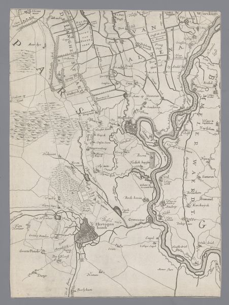
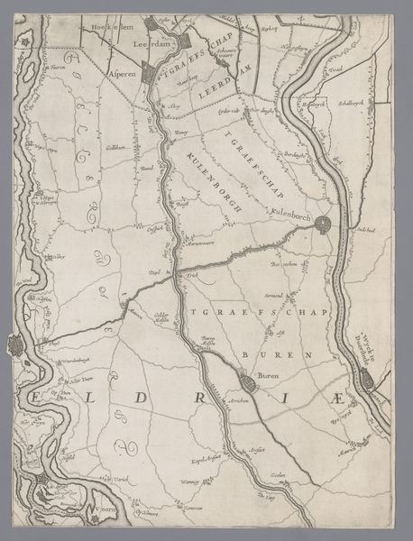
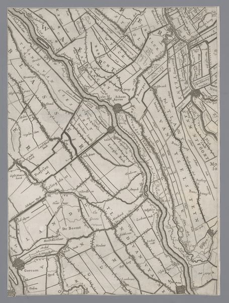
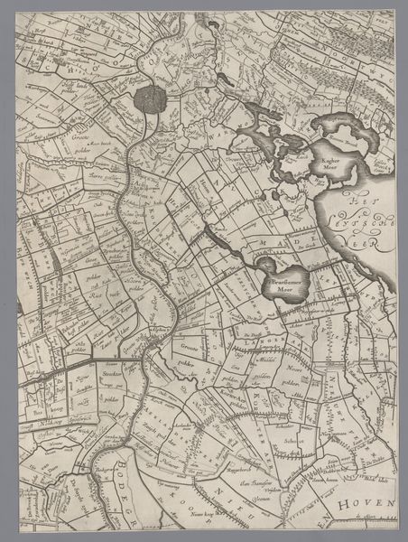
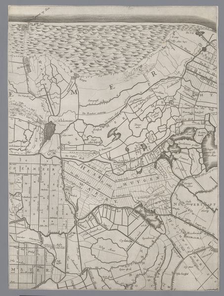
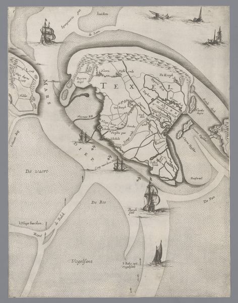
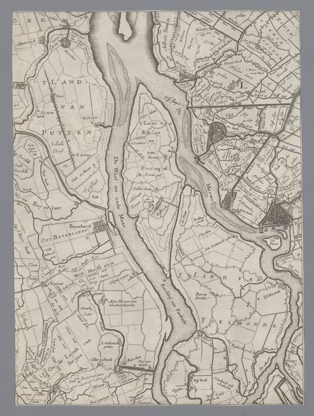
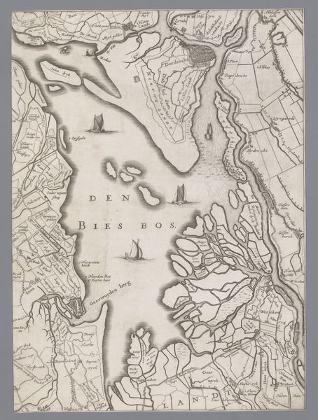
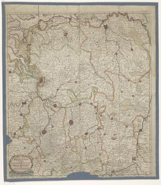
Dimensions: height 406 mm, width 301 mm
Copyright: Rijks Museum: Open Domain
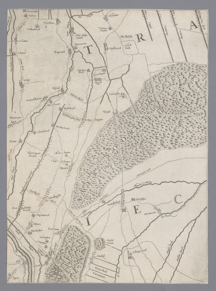
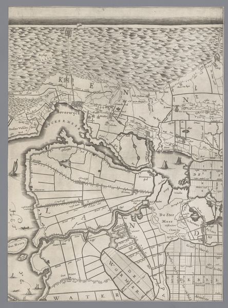
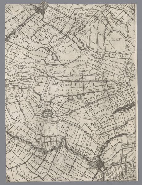
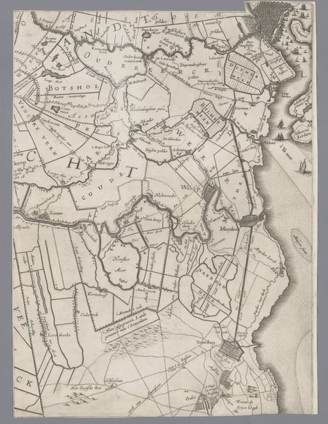
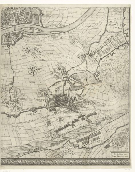
Editor: This is a fascinating print titled "Kaart van het Graafschap Holland en Utrecht," or Map of the Counties Holland and Utrecht, created in 1639 by Jacob Aertsz. Colom. It’s an engraving on paper, currently held at the Rijksmuseum. The intricacy of the lines is striking, but it's more than just aesthetically pleasing; it speaks to me of power and possession. What do you see in this piece? Curator: I see a carefully constructed narrative, Editor, reflecting not only geographical space, but also social and political control. Maps weren't neutral documents; they were instruments of power. This map, created during the Dutch Golden Age, visualizes the burgeoning Dutch Republic's self-perception. Who was included in the ‘Holland and Utrecht’ the artist constructed? Who was omitted? Editor: So you're suggesting this map isn't just about land, but also about identity and maybe even exclusion? I hadn't considered it that way. The focus on "Holland and Utrecht," makes other areas seem less important somehow. Curator: Exactly! Consider the function of cartography at the time. How might such detailed mapping have facilitated trade, taxation, or even military campaigns, cementing power structures? Furthermore, thinking about representation, whose perspective dominates? Is it a view from above, a controlling gaze? And what impact might that have on those living within the depicted territories? Editor: It’s a fascinating point. I guess I initially saw it as a historical document, but framing it in terms of power dynamics and social control makes it so much more complex and relevant. This adds so much more meaning! Curator: Indeed. Seeing this map as an active participant in shaping societal structures, as opposed to a mere representation of them, invites us to question whose stories are being told and whose are being suppressed. That, I think, is where the real art lies.
Comments
No comments
Be the first to comment and join the conversation on the ultimate creative platform.
More like this