print, paper, engraving
#
baroque
# print
#
landscape
#
paper
#
geometric
#
history-painting
#
engraving
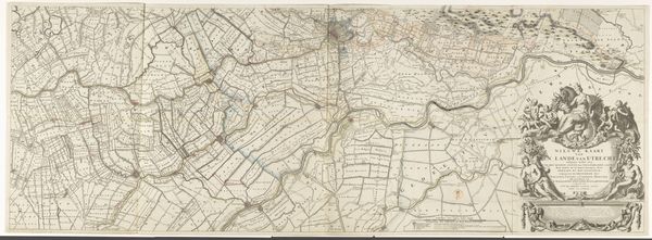
Dimensions: height 475 mm, width 600 mm
Copyright: Rijks Museum: Open Domain
This is Charles Inselin’s map of the Seventeen Provinces of the Netherlands. Inselin, born in 1673, lived through a period of immense political and cultural change in Europe. Maps are never neutral; they reflect power. This map presents a particular vision of the Netherlands at a time when national identity and borders were fiercely contested. The detailed rendering emphasizes the importance of geographical knowledge for trade and governance, but it also reveals a worldview shaped by colonialism. Consider how the map invites us to think about place, belonging, and the ways in which cartography has historically been used to define and control territories. By understanding the map’s historical context, we can better appreciate how such images shape our perceptions of the world.
Comments
No comments
Be the first to comment and join the conversation on the ultimate creative platform.
More like this