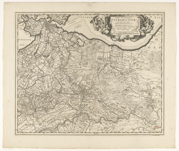
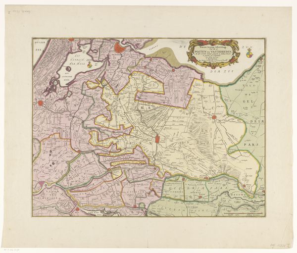
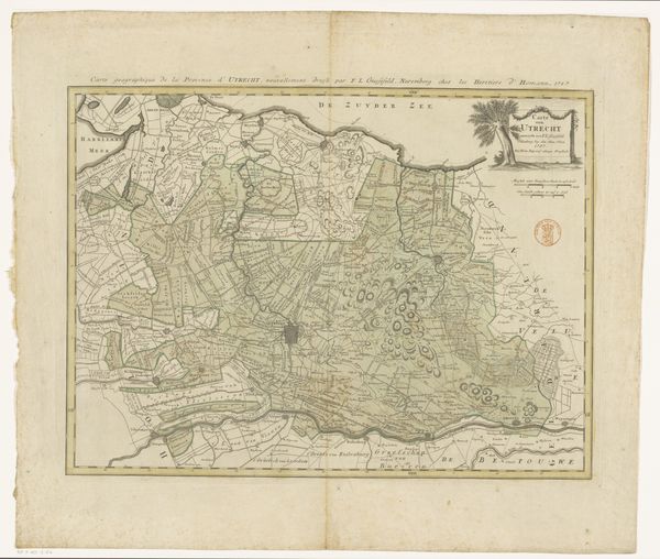
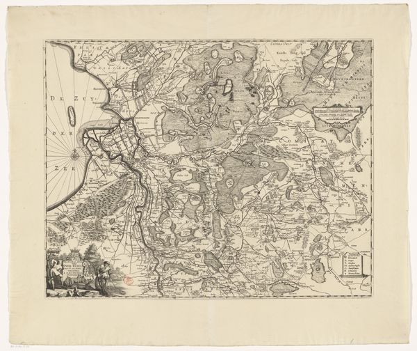
Kaart van de provincies Holland, Utrecht en Gelderland met de vestingen en forten gebouwd tijdens de oorlog in 1672 after 1672
0:00
0:00
drawing, ink
#
drawing
#
baroque
#
ink
#
geometric
Dimensions: height 400 mm, width 525 mm
Copyright: Rijks Museum: Open Domain
This map of the provinces of Holland, Utrecht and Gelderland, was created anonymously during a time of war in 1672. As the title suggests, it depicts fortifications built during that period. In the 17th century, the Dutch Republic was a major economic and maritime power. The construction of fortifications wasn't just about military strategy, it was also about projecting power, controlling trade routes, and protecting economic interests. The map itself reflects the Republic's sophisticated understanding of geography and cartography, essential for both military and commercial endeavors. We can read this image as a window into the institutional structures that supported these activities, such as the military engineering corps responsible for building these fortresses, as well as the printing houses which mass produced the map. A historian might use sources like military records, economic data, and other maps from the period to understand it better. By placing art within its social and institutional context, we see it as more than just an image; it becomes a historical document, reflecting the complex interplay of power, knowledge, and society.
Comments
No comments
Be the first to comment and join the conversation on the ultimate creative platform.
More like this