print, etching
# print
#
etching
#
landscape
#
etching
#
geometric
Dimensions: height 673 mm, width 965 mm
Copyright: Rijks Museum: Open Domain
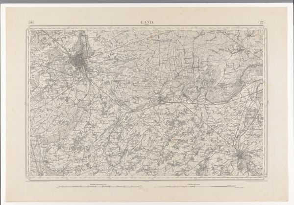
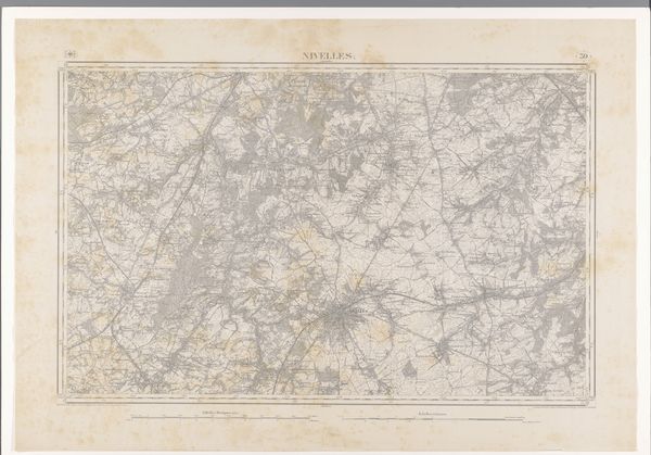
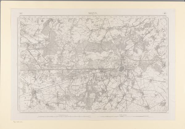
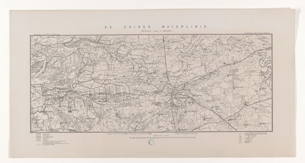
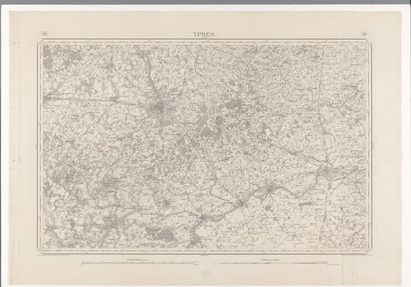
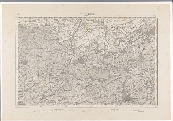
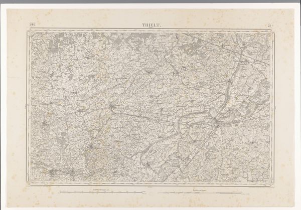
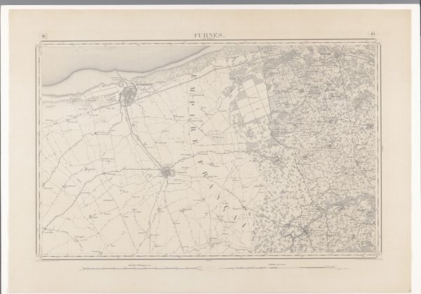
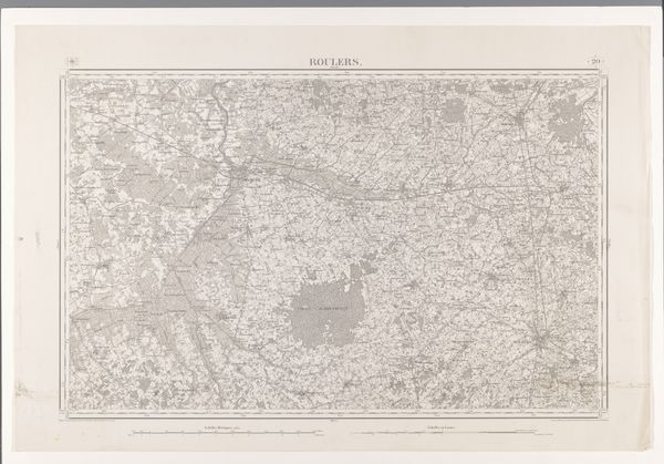
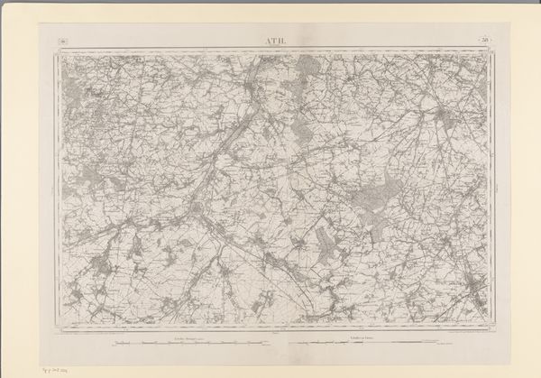
This is a detailed map of the area east of Bruges, created by various makers. The intricate network of lines and shapes forms a complex visual field, revealing the spatial organization of the landscape. The monochromatic palette emphasizes the geometric structure. The network of fine lines, create a semiotic system where each element encodes geographical information. The map constructs space through abstraction. Here, the city is represented as a web of infrastructure, suggesting an imposition of order on the natural landscape. This reflects how cartography not only represents space but also actively shapes our understanding of it. Note the tension between the precision of mapping and the ambiguities inherent in representing a dynamic, ever-changing world. This map invites us to consider how we perceive, organize, and ultimately, control the spaces we inhabit. Maps like this offer a lens through which to examine our relationship with the environment.
Comments
No comments
Be the first to comment and join the conversation on the ultimate creative platform.
More like this