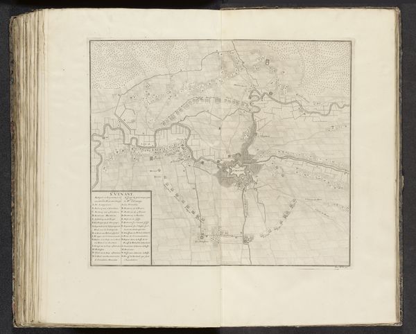
print, etching, engraving
#
dutch-golden-age
# print
#
pen sketch
#
etching
#
old engraving style
#
engraving
Dimensions: height 392 mm, width 487 mm
Copyright: Rijks Museum: Open Domain
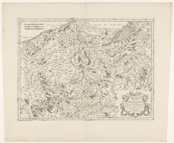
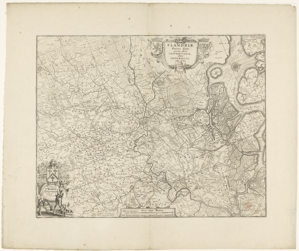
This is an anonymous map of the western part of Flanders, currently held in the Rijksmuseum. The design presents a delicate lattice of lines forming a network of geographical data. The composition is largely defined by thin, dark lines that delineate the region's waterways and roads. See how these lines move and intersect. This conveys a sense of connectivity and structure within the depicted space. The text is arranged in a classical style, yet the density of the information presented—names of towns and regions—disrupts the simplicity, creating a tension between clarity and complexity. The sea is filled with many ships, small yet detailed, which introduce a dynamic element to the otherwise still landscape. The map’s function is not just geographical, but also a semiotic device encoding power relations and territorial claims. Notice how this map invites us to consider the interplay between space, knowledge, and power.
Comments
No comments
Be the first to comment and join the conversation on the ultimate creative platform.
