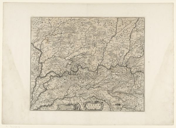
Kaart van het hertogdom Limburg en het graafschap Valkenburg 1670 - 1710
0:00
0:00
anonymous
Rijksmuseum
drawing, print, engraving
#
drawing
#
baroque
#
pen drawing
# print
#
pen sketch
#
old engraving style
#
geometric
#
line
#
history-painting
#
engraving
Dimensions: height 469 mm, width 560 mm
Copyright: Rijks Museum: Open Domain
This is an anonymous map of the duchy of Limburg and the county of Valkenburg, crafted with ink on paper. The composition is strikingly ordered, presenting a network of lines that delineate territories and waterways. The stark contrast between the dark lines and the pale paper creates a visual framework, turning geographical data into an abstract design. This interplay reflects a structuralist approach to cartography, where space is not merely represented but encoded with symbolic meaning through its formal arrangement. Note how the map meticulously catalogs the landscape and simultaneously imposes a structured order upon it. This tension encapsulates a semiotic paradox: while aiming to represent reality, the map inevitably transforms it into a system of signs, each line and symbol laden with cultural and political significance. It invites us to decode the matrix of power and knowledge embedded in its design.
Comments
No comments
Be the first to comment and join the conversation on the ultimate creative platform.
More like this