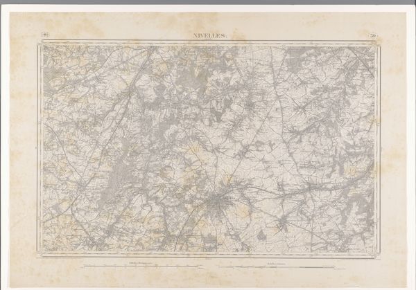
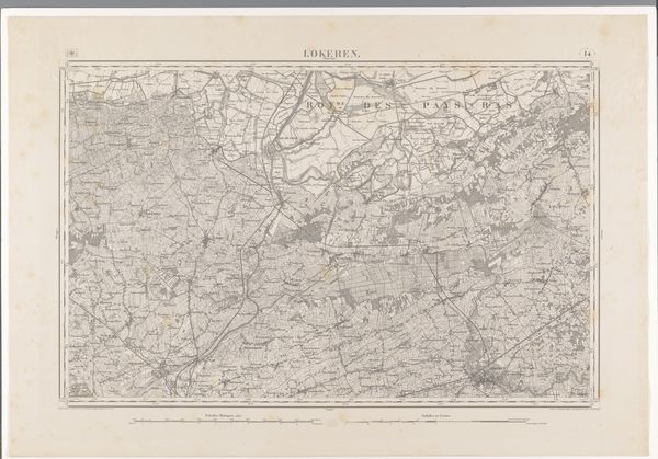
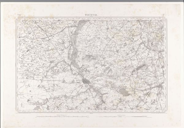
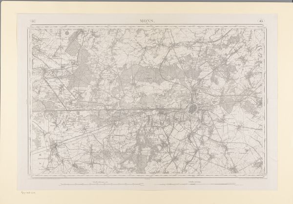
Dimensions: height 665 mm, width 974 mm
Copyright: Rijks Museum: Open Domain
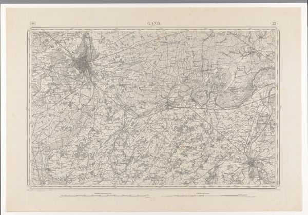
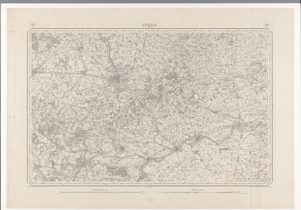
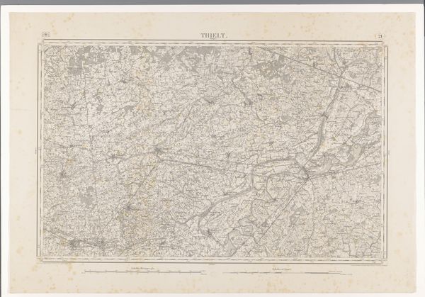
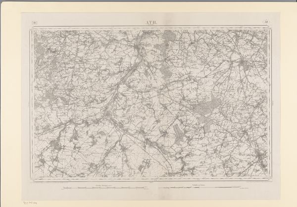
This map of the area west of Mechelen, made by diverse creators, presents us with more than just geographical data; it is a tapestry of human experience rendered through symbolic representation. Note the rivers, arteries of civilization, pulsing through the landscape, their courses mirroring the ebb and flow of history. The act of mapping itself is a powerful symbol—an attempt to impose order on the chaos of the world, much like the ancient impulse to chart the heavens. Consider how this desire for control and understanding manifests across cultures, from the meticulous star charts of the Babylonians to the Renaissance's obsession with perspective and proportion. Observe the roads, lines connecting disparate points, evoking the Roman concept of "via," or way, a symbol of power, communication, and conquest. As we contemplate this map, consider the enduring human drive to not only traverse but also to understand and document our world.
Comments
No comments
Be the first to comment and join the conversation on the ultimate creative platform.
More like this