drawing, print, metal, etching, engraving
#
drawing
#
rippled sketch texture
#
aged paper
#
toned paper
# print
#
metal
#
pen sketch
#
etching
#
pencil sketch
#
old engraving style
#
etching
#
pen-ink sketch
#
pen work
#
sketchbook drawing
#
engraving
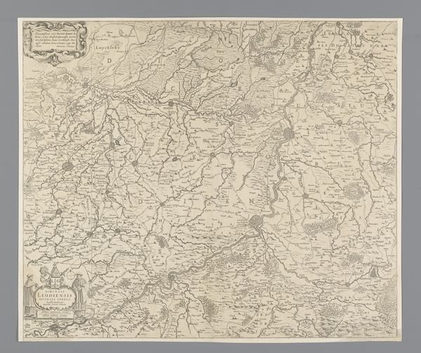
Dimensions: height 460 mm, width 542 mm
Copyright: Rijks Museum: Open Domain
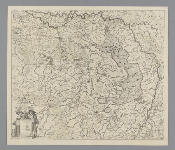
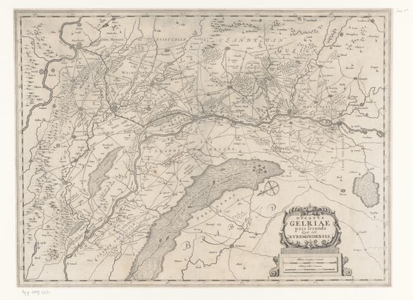
Curator: We’re standing in front of an intriguing print titled "Kaart van het prinsbisdom Luik," or "Map of the Prince-Bishopric of Liège," dating back to sometime between 1645 and 1658. It is currently held here at the Rijksmuseum. Editor: The initial impression is striking—a dense tapestry of lines etched into what appears to be aged paper. It evokes a world of meticulous surveying and political ambition, all rendered in monochrome. Curator: Absolutely. Consider the power dynamics embedded in mapmaking itself during this era. Creating a detailed map was a potent act. It represented a form of visual sovereignty, especially in the context of the Prince-Bishopric of Liège, a region with its own unique history. It functioned almost as an independent state nestled within the Holy Roman Empire. Editor: Indeed. And the details! The work is clearly crafted from print, utilizing etching and engraving on metal to produce these very fine lines and the tonal shifts suggesting relief and elevation. How did this interplay with notions of property, borders and belonging? The control of this visual representation undoubtedly provided an ideological edge. Curator: Well, we need to remember the tensions of the time. This was during and after the Thirty Years’ War. Maps weren’t neutral documents; they were instruments of power and control. Defining and displaying territory reinforced claims, impacted trade routes, and ultimately shaped people's understanding of belonging within these arbitrarily marked spaces. Who got represented in these renderings mattered significantly. Editor: Thinking about who was excluded and marginalized through these visualizations is vital. The everyday lives of laborers and the struggles of women in the region are noticeably absent. We might interpret this piece as a manifestation of a privileged gaze imposed upon the land and its inhabitants. Curator: I see your point. While on the surface, it's a straightforward cartographical record, unpacking its imagery, composition, and context reveal a dense network of social, political, and, yes, patriarchal meanings embedded in the representation of space itself. Editor: It has definitely altered my perspective on maps. They’re hardly ever just neutral directions! Curator: Agreed. This particular print leaves us with a nuanced understanding of not only the land but also of the complex dynamics inherent in claiming and picturing territory during this pivotal historical period.
Comments
No comments
Be the first to comment and join the conversation on the ultimate creative platform.
More like this