graphic-art, print, etching, engraving
#
graphic-art
# print
#
etching
#
etching
#
engraving
Dimensions: height 473 mm, width 553 mm
Copyright: Rijks Museum: Open Domain
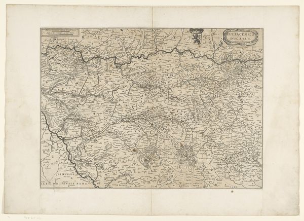
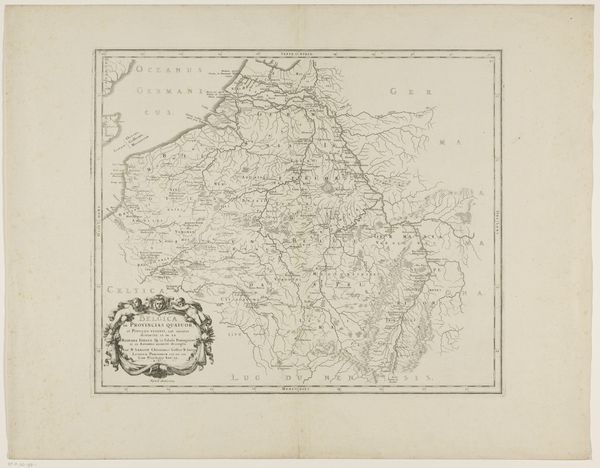
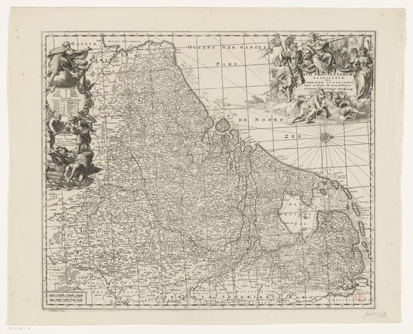
Editor: So, this is "Kaart van de Zuidelijke Nederlanden," made after 1667, currently housed in the Rijksmuseum, and created through etching and engraving. It is incredibly detailed; seeing the region laid out like this is pretty powerful. What should we consider as we’re looking at this map? Curator: Let's think about what a map like this represented in the 17th century. This wasn’t just a geographical tool, but also a statement of power, knowledge, and control. The map suggests an ability to survey, to understand, and therefore, in a way, to possess this territory. Notice how it depicts not only physical geography but also political divisions and even the heraldry of ruling powers. Consider what stories these details were meant to tell. Editor: The heraldry is really striking. It feels like propaganda, almost. Curator: Precisely! These maps were commissioned and used by those in power to legitimize their claims. Who was the mapmaker? Was the commissioner someone with ties to the region? It’s critical to analyze the social and political context in which the work was created to interpret what the creator may have been trying to tell their audience. Editor: That is interesting; thinking of a map as more than just directions makes me want to research maps from different eras now. Thanks! Curator: Indeed! Maps are hardly ever objective, and exploring them gives great insight into cultural narratives and ambitions of past societies.
Comments
No comments
Be the first to comment and join the conversation on the ultimate creative platform.
More like this