drawing, print, ink
#
drawing
#
dutch-golden-age
# print
#
landscape
#
ink
#
history-painting
Dimensions: height 410 mm, width 312 mm
Copyright: Rijks Museum: Open Domain
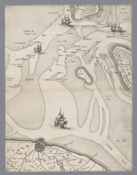
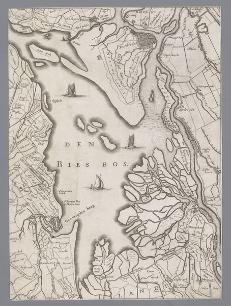
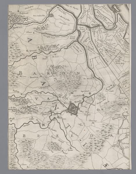
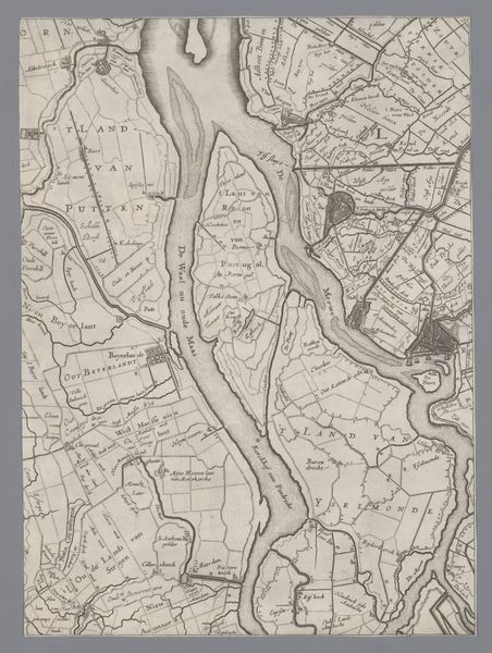
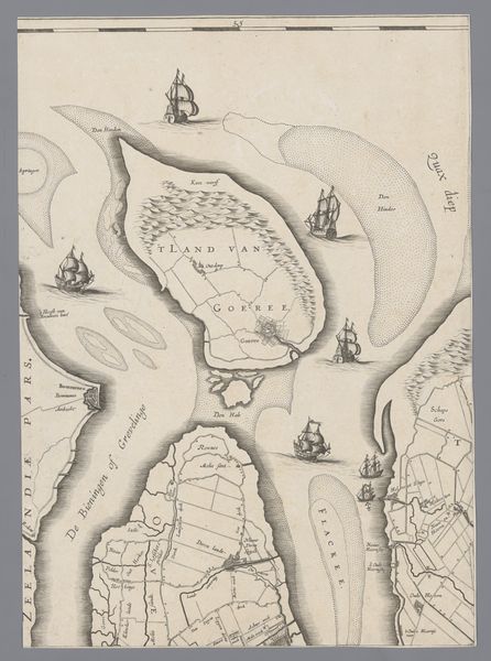
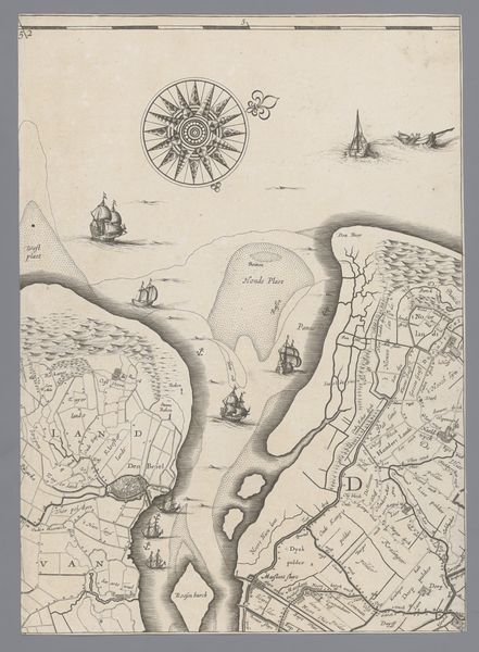
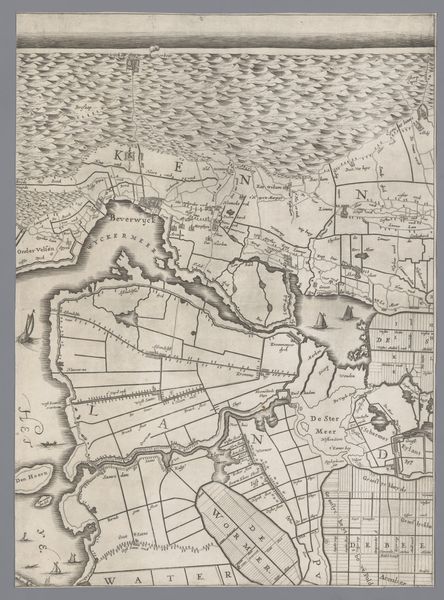
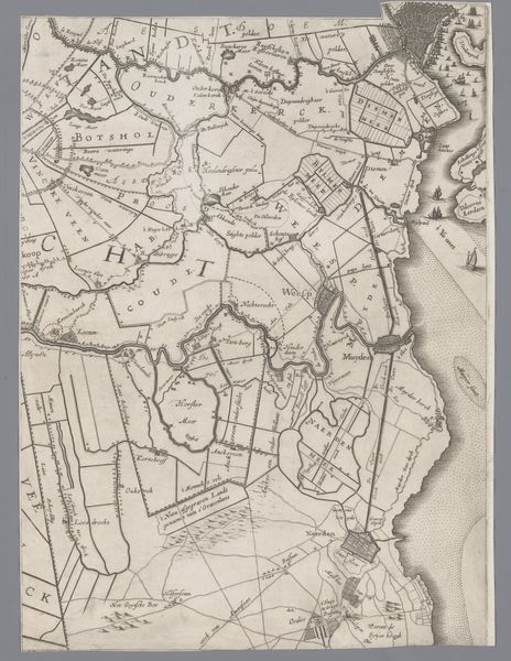
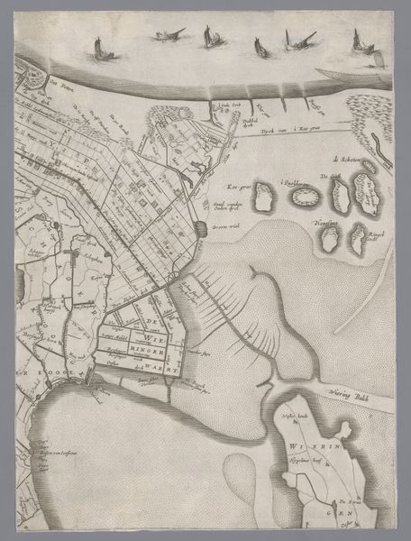
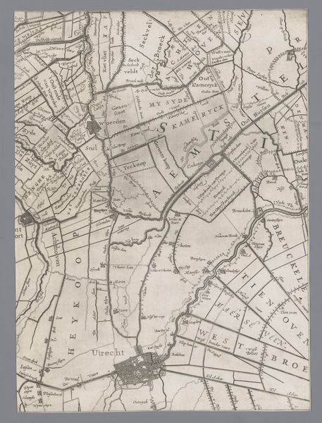
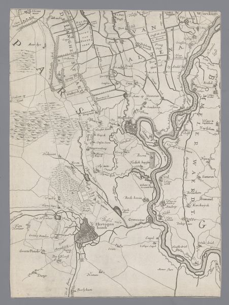
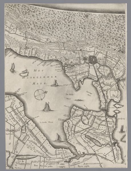
This map of Holland and Utrecht was made by Jacob Aertsz. Colom in the 17th century, using ink on paper. Engraving was the perfect method for representing the Netherlands at this time, when Dutch maritime power was at its height. Note the way the coastlines have been carefully etched, and the ships which appear on the seas, symbols of trade and exploration. The fine, precise lines also reflect the contemporary scientific interest in the representation of landscape and accurate geographical mapping. Consider the skill required to produce such a detailed image through carving lines into a metal plate, which would then be inked and printed onto paper. Cartography was a complex combination of artistry, technical skill, and scientific observation. In this work, the labor and expertise behind the craft is as important as the information the map conveys. This engraving isn’t just a document; it's a testament to the labor, precision, and artistry involved in mapmaking during the Dutch Golden Age.
Comments
No comments
Be the first to comment and join the conversation on the ultimate creative platform.
More like this