print, engraving
#
dutch-golden-age
# print
#
landscape
#
geometric
#
cityscape
#
engraving
Dimensions: height 403 mm, width 300 mm
Copyright: Rijks Museum: Open Domain
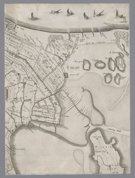
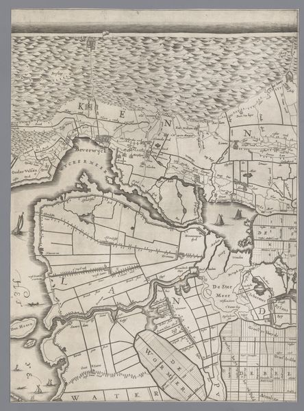
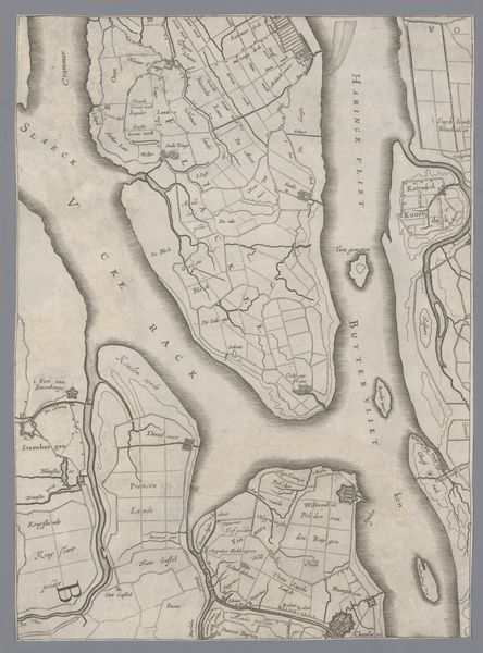
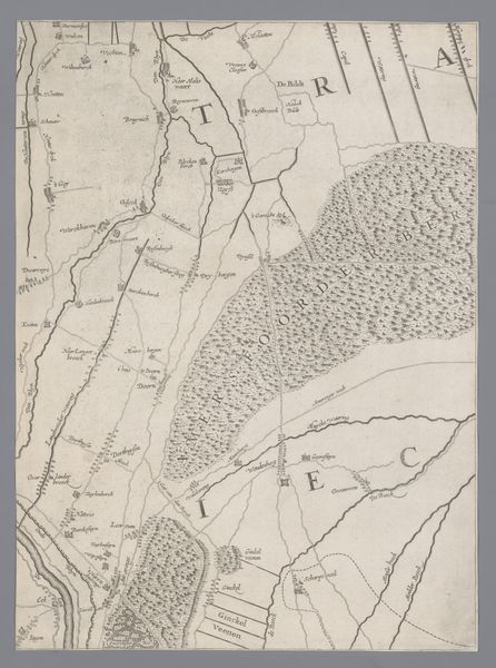
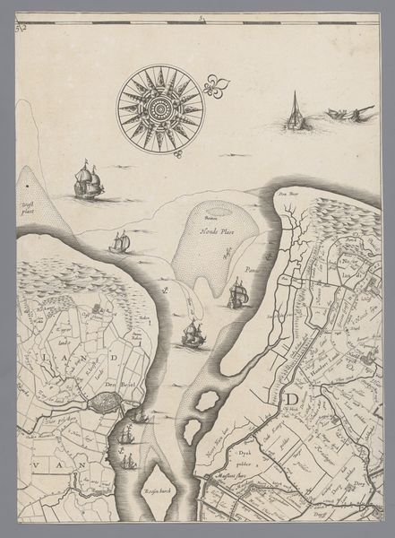
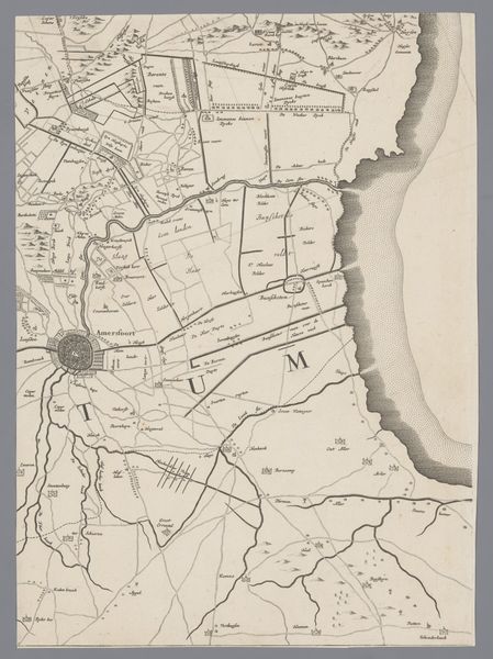
Editor: So, this is a 1639 print titled "Kaart van het Graafschap Holland en Utrecht," or "Map of the County of Holland and Utrecht," by Jacob Aertsz. Colom. It's at the Rijksmuseum, and it shows the area in incredibly fine detail. The overall feeling is one of precision, but also… almost a bit dreamlike? The etching style combined with the landscape. What jumps out at you when you see this? Curator: The first thing that strikes me is how this map isn't simply a record of geographic space; it's a symbolic representation of Dutch identity in the Golden Age. Consider the emphasis on waterways and land divisions. Waterways and Ships, like roads, symbolize connection, and exchange. Look closer, though; doesn’t the intricate grid-like division of land evoke a sense of order and control over nature itself? What do you think that communicates about Dutch values at the time? Editor: That's a really interesting point, it does feel purposeful, asserting control. And, thinking about the ships depicted in the water… wouldn't that represent Dutch maritime power and trade during this era? It all points to a deliberate construction of national image, doesn't it? Curator: Precisely. It goes beyond just knowing where places are located. It's an assertion of power, of ingenuity, of a culture shaping its environment. Note the directionality suggested by the compass rose. The map becomes a microcosm of the Dutch worldview. The images become encoded representations, echoing in the collective consciousness across generations. How might these symbols have impacted those viewing this map in the 17th century, versus how we interpret them now? Editor: That's a great question... maybe it gave them a sense of pride and belonging? Whereas now, we see it more as a historical artifact and a statement of ambition. This conversation really opens my eyes to how a map can function as much more than just a navigational tool. Curator: Indeed. By examining the symbolic language embedded in these seemingly simple images, we gain profound insights into the cultural DNA of a society.
Comments
No comments
Be the first to comment and join the conversation on the ultimate creative platform.
More like this