drawing, print, paper, ink
#
drawing
#
dutch-golden-age
# print
#
landscape
#
paper
#
ink
#
cityscape
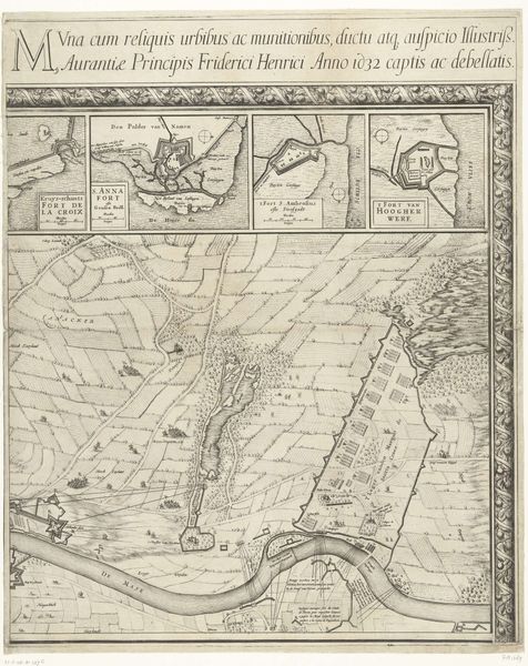
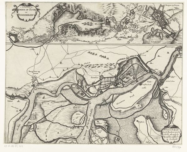
Dimensions: height 405 mm, width 308 mm
Copyright: Rijks Museum: Open Domain
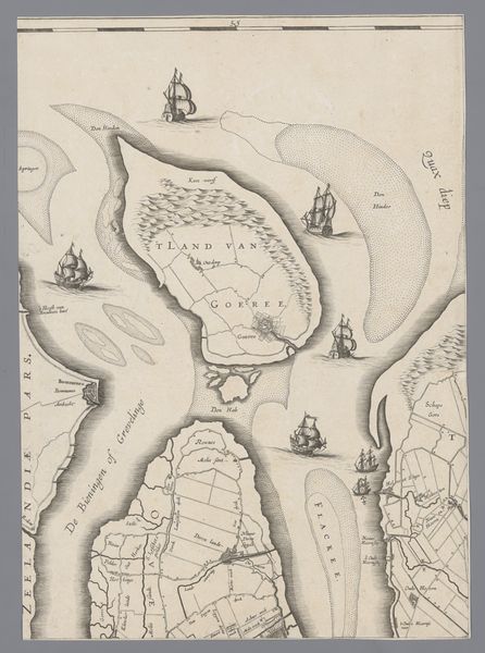
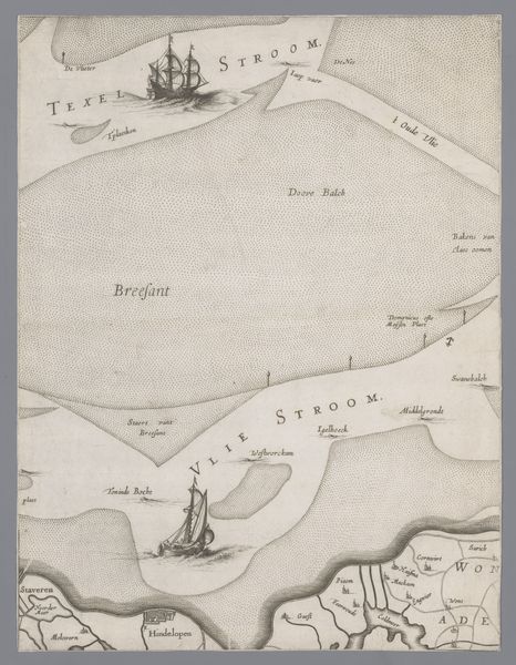
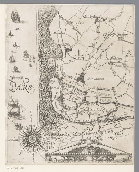
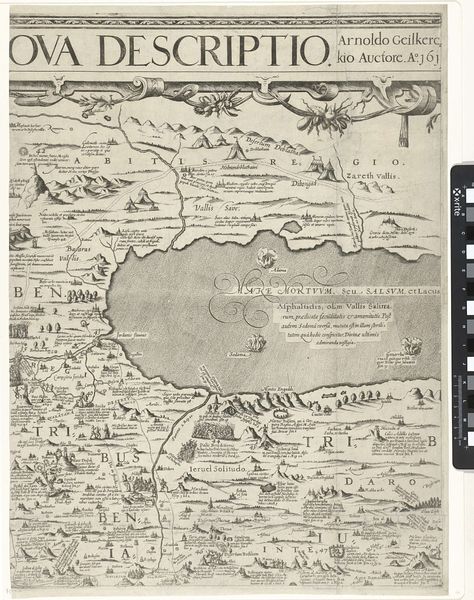
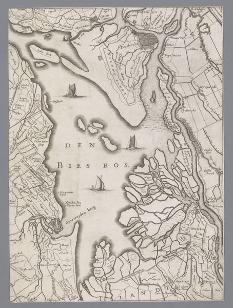
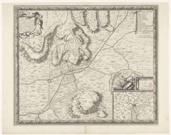
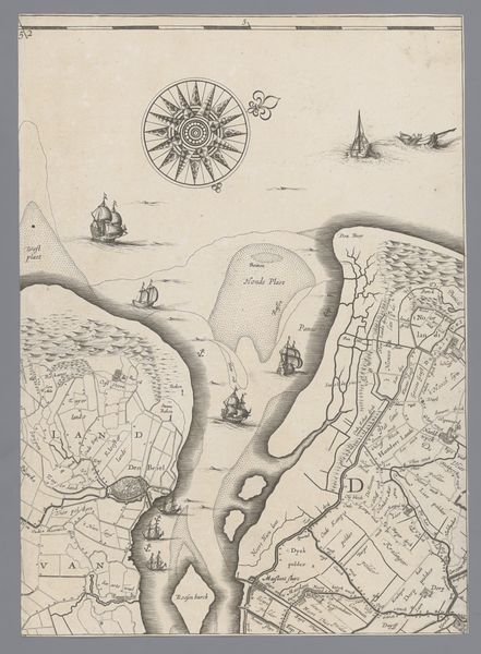
Jacob Aertsz. Colom created this map of Holland and Utrecht sometime in the 17th century, using engraving to depict the region's waterways and landmasses. Colom was a cartographer during the Golden Age, when the Netherlands was a major maritime power. Maps were not just geographical tools; they were assertions of power, reflecting a society deeply invested in trade and exploration. The ships scattered across the waters evoke the era's spirit of discovery, but also hint at the colonial ambitions that shaped the Dutch identity. The detailed rendering of coastlines and waterways speaks to a culture that saw the sea as both a resource and a frontier. While seemingly objective, maps like these were constructed from a specific worldview. They highlight the importance of territory and trade, subtly reinforcing the social hierarchies of the time. This map invites us to consider how we map our own world, and what those maps reveal about who we are, and what we value.
Comments
No comments
Be the first to comment and join the conversation on the ultimate creative platform.
More like this